Welcome to your comprehensive guide to navigating Los Angeles, one of America’s most sprawling and diverse urban landscapes. You’ll discover that contrary to popular belief, the city offers multiple transportation options beyond just driving.
The city’s transportation network is expanding, with a growing Metro Rail system and various other options, including buses, bikes, and walking paths. Whether you’re a tourist or a new resident, this guide will help you understand the size and scope of LA’s transportation systems.
You’ll learn how to efficiently move between neighborhoods and attractions, making the most of your time in this vast metropolitan area. With this guide, you’ll be equipped with the essential knowledge to navigate LA with confidence.
Understanding LA’s Transportation Landscape
To get around Los Angeles effectively, it’s crucial to grasp its transportation landscape. Los Angeles is one of the most diverse cities in the US, and its sprawling landscape can be overwhelming for visitors.
The Size and Scope of Los Angeles
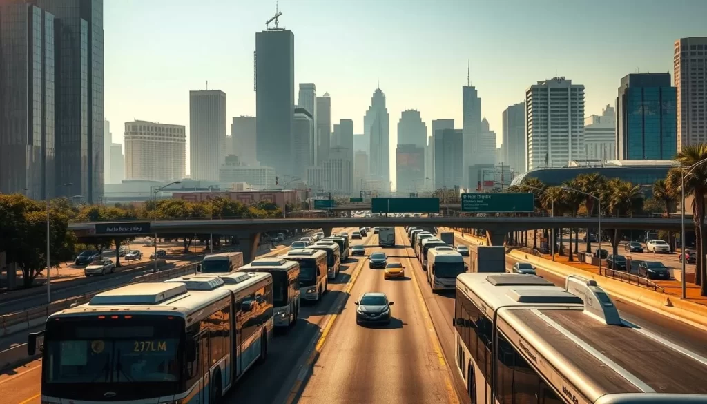
Los Angeles covers an enormous geographical area, spanning over 500 square miles with distinct neighborhoods and districts. The city’s sheer size means that attractions are often miles apart, making it challenging to explore everything in a single day.
The city’s development as a car-centric metropolis has shaped its urban design and transportation infrastructure, differing significantly from more compact cities like New York or Chicago.
| City Characteristics | Los Angeles | New York |
|---|---|---|
| Geographical Area | Over 500 square miles | Approximately 302.6 square miles |
| Primary Mode of Transport | Car-centric | Public Transport-oriented |
| Neighborhood Diversity | Multiple distinct neighborhoods | Diverse neighborhoods, more compact |
Misconceptions About Getting Around LA
Many visitors arrive with misconceptions about LA’s public transportation system, not realizing that the Metro Rail network has expanded significantly in recent years. In reality, LA is a collection of interconnected communities, each with its own character and transportation considerations.
While areas like Downtown LA and Hollywood are well-served by public transit, others like Malibu or Beverly Hills may require different transportation approaches. Understanding which transportation options work best for specific neighborhoods is essential for navigating Los Angeles efficiently.
Navigating Los Angeles by Car
Los Angeles is a city best explored by car, offering flexibility and freedom to visit multiple neighborhoods on your own schedule. While the city’s public transportation system has its limitations, having a car allows you to create your own itinerary and enjoy the city’s diverse attractions without being tied to a fixed route or schedule.
Renting a Car in LA

When renting a car in LA, you’ll have numerous options from major rental companies located at airports and throughout the city. Compact cars are ideal for navigating tight parking situations, while SUVs and larger vehicles may be more suitable for groups or those planning to explore surrounding areas.
Understanding LA’s Freeway System
LA’s extensive freeway system is a crucial part of navigating the city. You’ll need to familiarize yourself with major routes like the 101, 405, 10, and 5, which connect different parts of the city. Understanding how these freeways intersect and using navigation apps like Google Maps or Waze can help you navigate the city more efficiently.
Parking Tips and Challenges
Parking in Los Angeles presents its own set of challenges. You’ll encounter a mix of street parking (with sometimes confusing restrictions), parking structures, and valet services depending on the neighborhood. When visiting popular areas like Hollywood or Downtown, consider parking once and using public transportation or walking to reach specific attractions.
Rush Hour and Traffic Considerations
Be prepared for LA’s notorious traffic, especially during rush hours (typically 6-10 am and 3-7 pm on weekdays). Travel times can increase dramatically during these periods, so plan your itinerary accordingly. Consider exploring the city during off-peak times to minimize delays.
By understanding the ins and outs of driving in LA, you can make the most of your time in the city and enjoy all that Los Angeles has to offer.
Metro Rail System: LA’s Growing Transit Network
The Metro Rail system in Los Angeles has undergone substantial growth, transforming the way residents and visitors navigate the city. This expansion has made public transit a viable option for many popular destinations.
Metro Rail Lines and Routes
The Metro Rail network consists of six lines: four light rail lines (A, C, E, and K Lines) and two subway lines (B and D Lines), serving 101 stations across Los Angeles County. The A Line is notable for being the longest light rail line in the world. The B Line (formerly Red Line) is particularly useful for tourists, connecting Union Station to popular destinations like Hollywood and Universal Studios.
You can use the E Line (formerly Expo Line) to travel between Downtown Los Angeles and Santa Monica Beach without dealing with traffic or parking. The Metro Rail system connects with Metro Busway, Metrolink commuter rail, and several Amtrak lines, making it a comprehensive transportation solution.
The Regional Connector and Key Stations
The Regional Connector, opened in June 2023, has transformed downtown transit by linking previously separate lines and creating more direct routes across the city. With 7th St/Metro Center as the hub, the new underground Downtown LA stations service the newly extended A Line and E Line.
Fares and Operating Hours
Metro Rail trains generally operate from approximately 4 am to midnight on weekdays, with extended hours until 2 am on Friday and Saturday nights. The base fare for Metro Rail is $1.75, which includes free transfers to other Metro lines for up to two hours from when you first tap your card. The system uses a TAP card payment system, which you can purchase at any Metro station and reload as needed for convenient travel throughout your stay.
By utilizing the Metro Rail system, you can enjoy a convenient and relatively affordable way to explore Los Angeles. Whether you’re commuting to work or visiting popular attractions, the Metro Rail system is an essential part of LA’s transportation infrastructure.
Los Angeles, California: Public Transportation & Getting Around by Bus
You’ll find that the bus network in Los Angeles is an essential component of the city’s public transportation. With an extensive coverage area, the bus system complements the Metro Rail, providing a comprehensive transit network. Whether you’re commuting to work or exploring the city, understanding the bus options is crucial.
Metro Bus System Overview
The Metro Bus system operates along 117 routes, spanning the Greater Los Angeles area. In 2020, Metro introduced its NextGen Bus Plan, which transformed the bus network by consolidating routes and increasing service frequencies. As a result, most Rapid routes were retired in favor of more frequent service on former Local routes.
The Metro Bus system is designed to provide efficient and reliable transportation, with service frequencies varying from every 5-10 minutes on busy corridors to every 30-60 minutes on less traveled routes. This ensures that you have a convenient option for getting around the city.
DASH and Local Bus Services
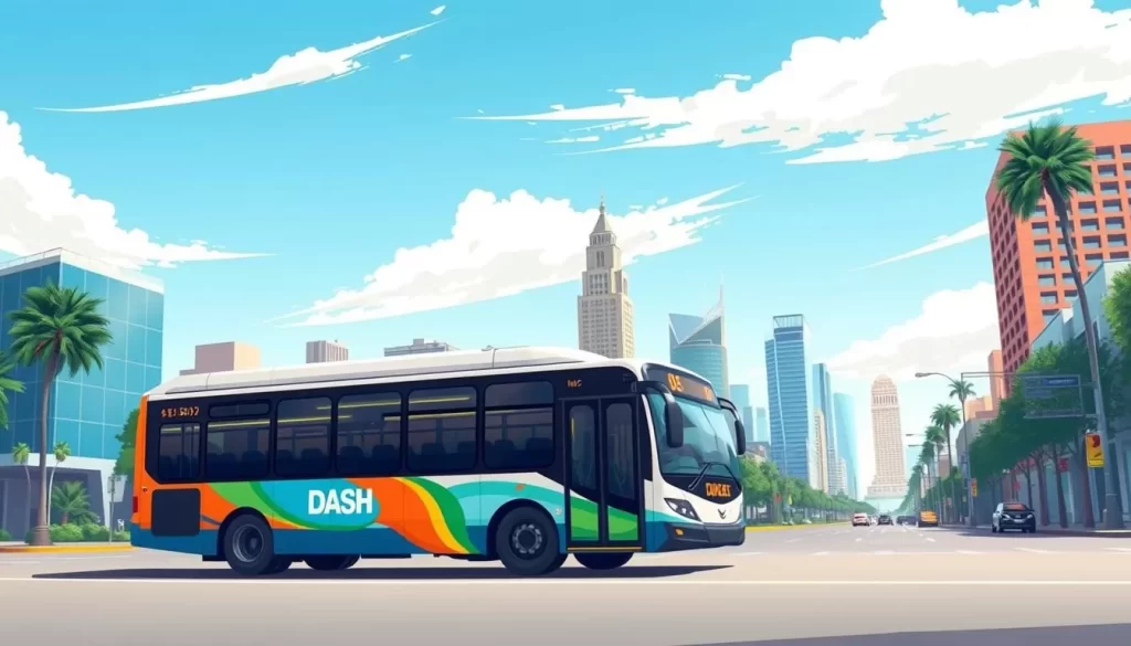
DASH is LADOT’s system of localized bus services, designed to provide convenient and affordable transportation within specific communities. Since its launch in Downtown LA, DASH has expanded to 31 routes, servicing 27 additional neighborhoods. The DTLA DASH buses operate from 6am to 9pm, Monday-Friday, and from 9am to 6pm on Saturday and Sunday.
DASH buses are particularly useful for tourists, with special routes serving popular attractions like the Griffith Observatory and connecting to Metro Rail stations. For riders making longer trips, DASH acts as a feeder to the Metro Rail and Metro Bus system, making it easier to get around the city.
Commuter Express and Long-Distance Options
LADOT’s Commuter Express provides service to and from Downtown LA during morning and afternoon rush hours, making limited stops to minimize travel times. This service is ideal for commuters who need to travel longer distances during peak hours. By using Commuter Express, you can enjoy faster travel times and more convenient commuting options.
The Commuter Express buses are designed to provide efficient transportation between residential areas and employment centers, making it a valuable option for those who rely on public transportation.
Using the TAP Card System
The TAP Card is your key to convenient travel across LA’s vast transit network. With the TAP Card, you can easily pay your fare on Metro Bus and Rail, making your daily commute a breeze.
How to Purchase and Load a TAP Card
Purchasing a TAP card is simple and convenient. You can buy one at any Metro Rail station vending machine or select retail locations for just $2, plus the fare you load. You can also purchase and load your TAP card online at TapToGo.net. This flexibility makes it easy to start using the TAP card system right away.
Loading your TAP card can be done at station vending machines, online, through the TAP mobile app, or at hundreds of retail locations throughout the city. This variety of options ensures that you can easily add value to your card whenever you need to.
Fare Capping and Money-Saving Tips
One of the best features of the TAP card system is fare capping. With fare capping, you’ll never pay more than $5 in a day or $18 in a week, no matter how many trips you take. This means that the more you ride, the more you save. Frequent riders will particularly benefit from this feature, as it provides a cost-effective way to use public transportation.
The TAP system also automatically provides free transfers within a two-hour window, allowing you to change between Metro Rail and Bus services without paying additional fares. This makes it easy to navigate LA without breaking the bank.
Rideshare and Taxi Services in LA
With the rise of ridesharing, traveling in Los Angeles has become more accessible than ever. Rideshare services like Uber, Lyft, and Alto have transformed the way you navigate the city, offering convenient door-to-door transportation throughout Los Angeles.
Uber, Lyft, and Alto Options
Rideshare services provide a variety of options to suit different needs. Whether you’re looking for an eco-friendly ride or need to transport a group, services like Uber, Lyft, and Alto have you covered. Many of these companies offer environmental options, making your trip a little greener.
- Convenient door-to-door transportation throughout Los Angeles
- Short wait times, often just a few minutes
- Options for eco-friendly, wheelchair-accessible, and pet-friendly vehicles
When to Choose Rideshare Over Public Transit
There are times when opting for a rideshare service is more practical than using public transportation. For instance, if you’re traveling to areas with limited public transit access or during late-night hours when service is reduced, rideshares can be a lifesaver. Additionally, if you’re short on time or have a lot of luggage, the convenience of a rideshare can be worth the extra cost.
- Ideal for time-sensitive situations, like catching a flight
- Avoids parking challenges in popular areas like Hollywood or West Hollywood
- Can be more economical for group travel or moderate distances
Always compare prices between different rideshare apps before booking, as rates can vary significantly for the same route depending on demand and time of day. This simple step can help you save money and find the best option for your needs.
Airport Transportation Options
Getting to and from Los Angeles International Airport is easier than you think, thanks to its comprehensive transportation network. As one of the busiest airports in the world, LAX handled 28.8 million passengers, 2.3 million metric tons of cargo, and 380,000 aircraft movements in 2020, making it a significant travel hub.
Getting To and From LAX
You have multiple options for traveling to and from LAX. The LAX FlyAway® Bus service, operated by Los Angeles World Airports (LAWA), offers direct connections between the airport and key locations like Union Station (Downtown LA) and Van Nuys (San Fernando Valley) for a reasonable one-way fare of $9.75. For budget-conscious travelers, you can take the free LAX shuttle to the Metro C Line station, then connect to the broader Metro Rail network to reach your destination.
Rideshare services and taxis are readily available at LAX, with designated pickup areas that may require a short walk from the terminals. When planning your airport transportation, consider LA’s traffic patterns and allow extra time during peak hours, especially when traveling to LAX on weekday afternoons.
Other LA Area Airports and Their Connections
The Los Angeles metropolitan area has five commercial airports, offering various options depending on your final destination. Hollywood Burbank Airport is often more convenient for those staying in the San Fernando Valley or northern LA areas. Long Beach Airport provides a less crowded alternative for accessing southern Los Angeles County and can be reached via public transit connections.
LA/Ontario International Airport serves the eastern parts of the Los Angeles metropolitan area and is a good option if you’re heading to the Inland Empire region. By choosing the right airport and understanding the available bus and transportation services, you can make your journey to your destination more efficient.
Exploring LA on Foot
You might be surprised to discover that LA, despite its reputation, has areas perfect for exploring on foot. While Los Angeles is often associated with car culture, several of its neighborhoods offer a pleasant walking experience, rich in attractions and cultural experiences.
Most Walkable Neighborhoods in Los Angeles
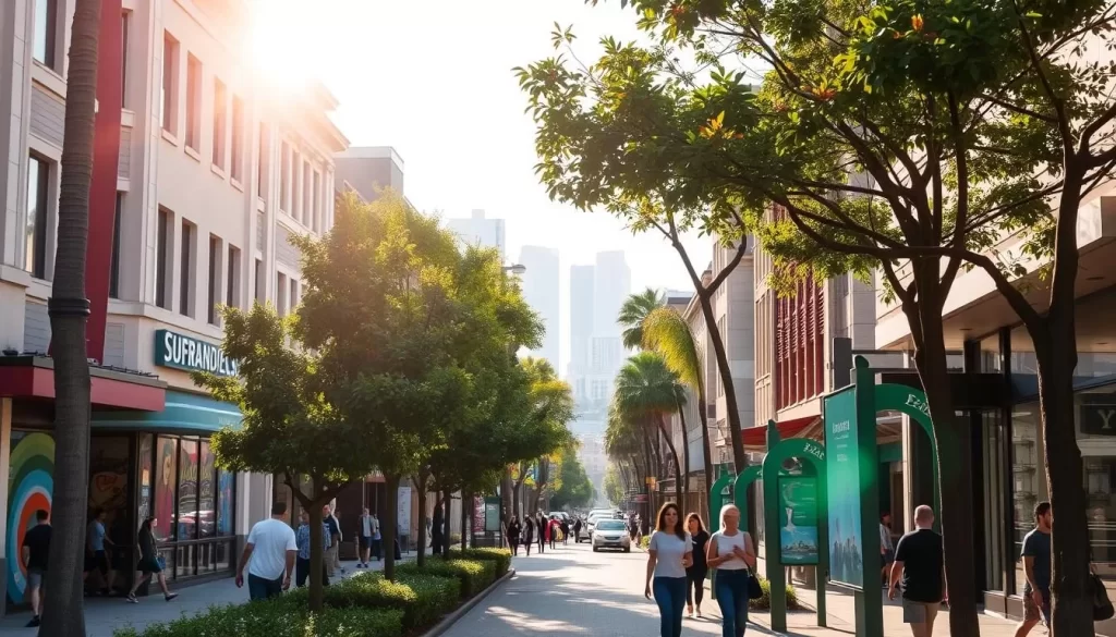
Downtown Los Angeles stands out as a “walker’s paradise” with a walk score above 90, boasting numerous attractions, restaurants, and cultural venues within easy walking distance. Other neighborhoods worth exploring on foot include Santa Monica, Venice Beach, Hollywood, Silver Lake, and Los Feliz, each with its unique character and pedestrian-friendly areas. For instance, the Venice Beach Boardwalk offers a vibrant atmosphere with street performers, shops, and eateries.
Pedestrian Safety and Navigation Tips
When walking in LA, be aware that sidewalk conditions can vary significantly between neighborhoods. Some areas have well-maintained paths, while others may have cracked or uneven surfaces. To navigate safely, use pedestrian-friendly navigation apps like Google Maps to identify the most walkable routes and estimate walking times. Additionally, stick to well-lit streets at night, be aware of your surroundings, and use crosswalks when crossing busy streets. For hilly areas like Griffith Park or the Hollywood Hills, wear comfortable shoes and stay hydrated due to the challenging terrain and intense Southern California sun.
By being mindful of these factors, you can enjoy exploring LA on foot, discovering its hidden gems, and experiencing the city in a new way.
Biking Around Los Angeles
As Los Angeles continues to evolve, biking has emerged as a convenient and eco-friendly way to navigate the city. With a growing network of bike lanes and paths, you’re able to explore LA like never before.
Metro Bike Share Program
The Metro Bike Share program is a convenient option for short trips across Los Angeles. With over 1,500 bikes available at more than 150 stations throughout Downtown LA, Venice, Santa Monica, and other neighborhoods, you can easily find a bike to get you where you need to go.
To use the service, simply download the Metro Bike app, locate a nearby bike, and pay $1.75 for your first 30 minutes or $5 for a 24-hour pass. The program is available to those 16 and up with a registered TAP account, making it a great option for both locals and visitors.
Best Areas for Cycling and E-Scooter Options
Los Angeles offers several scenic and safe cycling routes that are perfect for exploring the city. The 22-mile Marvin Braude Bike Trail, also known as The Strand, runs along the Pacific coastline from Pacific Palisades to Torrance, offering one of the most scenic cycling experiences in LA.
In addition to traditional biking, e-scooters from companies like Bird, Lime, and Wheels provide another flexible transportation option in many LA neighborhoods, especially near tourist areas and college campuses. When biking or using e-scooters, be sure to follow local traffic patterns and choose routes with dedicated bike lanes for a safer experience.
You can also combine biking with other transportation modes, as many Metro buses and trains accommodate bicycles, allowing you to cover longer distances across the sprawling city.
Day Trips and Regional Connections
With its comprehensive transportation network, Los Angeles is an ideal base for exploring the surrounding region. You can easily take day trips to various exciting destinations using different transportation methods.
Metrolink and Amtrak Services
Union Station in Downtown LA is the central hub for regional transportation, connecting Amtrak long-distance trains, Metrolink commuter rail, and the Metro Rail system. Amtrak operates multiple daily round trips between San Diego and Los Angeles, with some continuing to Santa Barbara via the Pacific Surfliner. The Coast Starlight provides additional service on this route and beyond to the San Francisco Bay Area, Sacramento, and Seattle, Washington.
Metrolink commuter trains serve six Southern California counties, making it easy to visit places like San Juan Capistrano, Oceanside, and Lancaster without driving. You can also use Metrolink to reach various stations in the San Fernando Valley, including Burbank, Van Nuys, and Chatsworth.
Reaching Popular Destinations Outside LA
For coastal explorations, the Pacific Surfliner Amtrak route offers a scenic journey along the Pacific coastline, connecting Los Angeles to San Diego, Santa Barbara, and San Luis Obispo. You can also reach Disneyland by taking the Metrolink Orange County Line to Anaheim and then connecting to local buses.
When planning your trip, be sure to check schedules carefully, as some regional services run less frequently on weekends or may require connections between different transit systems. For more distant attractions like Palm Springs or Santa Barbara, express bus services and regional trains offer alternatives to driving, though they may require advance planning.
Conclusion: Creating Your LA Transportation Strategy
With a comprehensive grasp of LA’s transportation options, you’re ready to explore. Los Angeles offers a diverse range of choices, from the Metro Rail system to rideshare services and bike share programs. For visiting popular areas like Downtown LA, Hollywood, and Universal Studios, the Red Line is your best bet.
When heading to coastal areas like Santa Monica, consider combining the Metro E Line with local bus lines or bike share options for flexibility. The TAP card is essential for navigating public transit, providing access to Metro trains and buses throughout the county.
For areas with limited public transportation, like Beverly Hills or Malibu, you can combine rideshare services with strategic use of express bus lines. Remember, North Hollywood is a key transit hub, connecting the Metro B Line with the G Line for San Fernando Valley destinations. By being flexible and combining transportation modes, you’ll navigate Los Angeles efficiently and enjoy your trip.
The above is subject to change.
Check back often to TRAVEL.COM for the latest travel tips and deals.
Here are some Tours & Sightseeing suggestions that might pique your interests!
