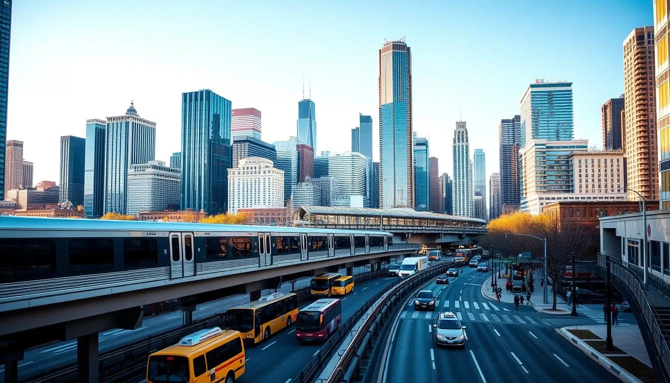
Planning a visit to the Windy City? You’ll find that navigating Chicago is convenient due to its comprehensive public transportation system. The city’s grid system makes it easy to explore various neighborhoods without needing a car.
As your guide to Chicago’s transportation, this section will help you understand the different options available, including trains, buses, and bikes. You’ll discover how to travel efficiently throughout the city and its surrounding suburbs.
With a well-organized transit system, you can easily connect to major attractions, business districts, and residential areas. This makes getting around Chicago straightforward for both visitors and residents.
Understanding Chicago’s Transportation System
To get the most out of your visit to Chicago, it’s essential to grasp how the city’s transportation system works. Chicago’s transportation infrastructure is designed to facilitate easy movement around the city, with a grid system and comprehensive public transit options.
Chicago’s Street Grid System
Chicago’s streets are organized on a grid system, making it relatively easy to navigate. Madison Street divides the city north and south, while State Street divides it east and west. The intersection of State and Madison in downtown Chicago marks the starting point of this grid. Addresses are relative to this point, with eight blocks equaling one mile. For example, an address like 3600 N. Clark St. indicates it’s 36 blocks north of Madison Street.
Overview of Public Transit Options
The Chicago Transit Authority (CTA) operates the nation’s second-largest public transportation system, including trains and buses that connect all parts of the city. Understanding how the grid system and public transit routes intersect can help you navigate more efficiently. Multiple transit agencies serve the city, including CTA for city travel, Metra for suburban connections, and Pace for regional bus service.
| Transit Agency | Service Area | Modes of Transport |
|---|---|---|
| CTA | City of Chicago | Trains, Buses |
| Metra | Suburban Chicago | Commuter Rail |
| Pace | Regional | Bus Service |
Navigating the Chicago Transit Authority (CTA)
To explore Chicago like a local, understanding the Chicago Transit Authority (CTA) is essential. The CTA operates the nation’s second-largest public transportation system, making it easy to get around the city.
The ‘L’ Train System
The iconic ‘L’ train system is a hallmark of Chicago’s transportation infrastructure, featuring eight color-coded lines that connect the city’s diverse neighborhoods. Two ‘L’ lines operate 24/7: the Blue Line, which connects Chicago O’Hare International Airport to downtown, and the Red Line, running north-south through the city. The ‘L’ train system serves 145 rail stations throughout the city, providing comprehensive coverage.
![]()
CTA Bus Routes
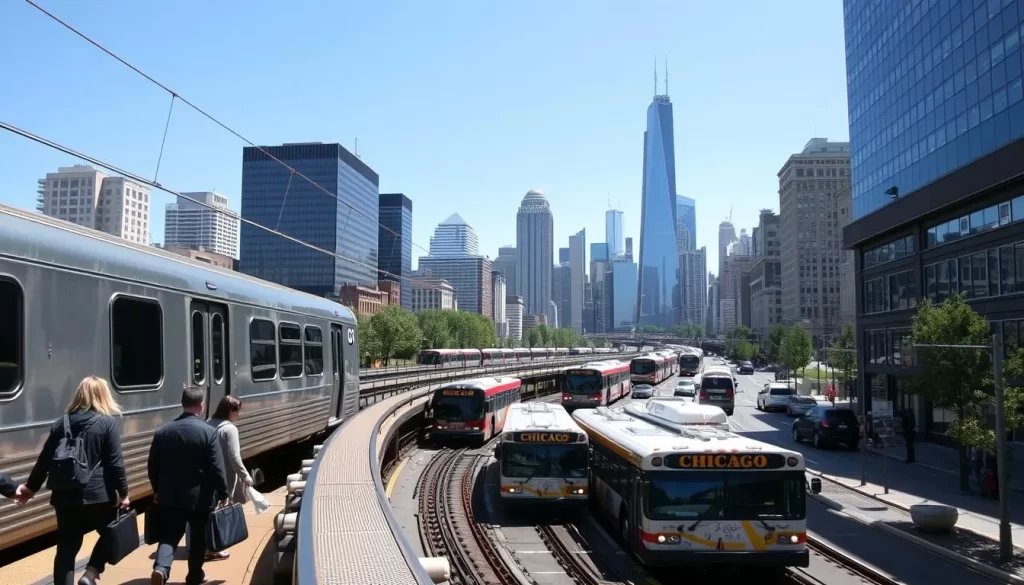
In addition to the ‘L’ train system, the CTA operates 129 bus routes that cover areas not served by the trains, with stops typically every few blocks. Many bus routes run along major streets, providing convenient connections to train stations for seamless transfers. The CTA’s Night Owl service offers limited bus and train service during overnight hours, ensuring transportation options at all times. Understanding the difference between local and express bus routes can help you navigate the city more efficiently.
Using the Ventra Card and Mobile App
The Ventra Card and Mobile App are your keys to unlocking a seamless travel experience across Chicago’s CTA trains and buses. To make the most of Chicago’s public transportation, you’ll need to understand how to use these tools effectively.
Purchasing and Loading Your Ventra Card
You can purchase a Ventra Card at any CTA station vending machine or participating retail locations. The card is Chicago’s reloadable transit payment system, working seamlessly across CTA trains, buses, and Pace suburban buses. You have the flexibility to choose between pay-as-you-go options or unlimited ride passes (1-day, 3-day, 7-day, or 30-day) based on your travel needs.
Navigating with the Ventra App
The Ventra mobile app provides real-time arrival information and service alerts, allowing you to manage your transit account from your smartphone. With the app, you can plan your journey using the built-in trip planner, which suggests the best routes based on your current location and destination. You can also add value to your Ventra Card instantly through the app, and set up auto-reload to ensure you always have sufficient fare for your travels.
By utilizing the Ventra Card and Mobile App, you gain access to a wealth of information that makes navigating Chicago’s public transit services easier. You can purchase tickets and manage your travel plans efficiently, making your ride smoother.
Getting To and From Chicago Airports
When traveling to Chicago, you’ll likely arrive at one of its two major airports: O’Hare International Airport or Midway International Airport. Chicago is served by these two international airports, providing various transportation options to get you into the city.

O’Hare International Airport is connected to downtown Chicago via the CTA Blue Line train, offering 24/7 service with a travel time of approximately 45 minutes. You can use a Ventra Card or purchase a single Ventra Ticket for convenient travel.
O’Hare International Airport Transportation
O’Hare International Airport, also known as O’Hare International or Hare International Airport, is a major hub with multiple transportation options. The CTA Blue Line train is a cost-effective way to reach downtown, with fares around $5, significantly cheaper than taxis or rideshares.
Midway International Airport Transportation
Midway International Airport is another convenient option, with the CTA Orange Line bus and train connecting to downtown in about 25 minutes. The Ventra system works seamlessly for airport travel, allowing you to use the same card for your entire Chicago visit, making it a convenient transportation solution.
Metra Commuter Rail: Connecting the Suburbs
The Metra commuter rail is a reliable transportation service that links Chicago’s suburbs to the city. With its extensive network, you can easily travel between the suburbs and downtown Chicago.
Metra’s commuter rail system offers various benefits, including comfortable seating, tables, restrooms, and free WiFi on some trains. The routes are designed to provide convenient travel options for suburban commuters and visitors.
Metra Routes and Schedules
Metra operates 11 rail lines with nearly 250 stations, providing extensive coverage throughout the metropolitan area. The trains primarily operate during weekday rush hours, with reduced service during midday, evenings, and weekends.
| Metra Line | Frequency | Peak Hours |
|---|---|---|
| BNSF Railway Line | Every 10-20 minutes | 6:00 AM – 9:00 AM, 4:00 PM – 7:00 PM |
| Union Pacific North Line | Every 10-30 minutes | 6:00 AM – 9:00 AM, 4:00 PM – 7:00 PM |
| Union Pacific Northwest Line | Every 20-40 minutes | 6:00 AM – 9:00 AM, 4:00 PM – 7:00 PM |
Purchasing Metra Tickets
You can purchase tickets via the Ventra app, from station agents, or using ticket vending machines at downtown terminals. Metra tickets differ from CTA fares and are based on travel zones, with options for one-way, round-trip, 10-ride, and monthly passes.
By using the Metra commuter rail, you can enjoy a convenient and relatively stress-free commute between the suburbs and downtown Chicago.
Chicago, Illinois: Public Transportation & Getting Around the Suburbs
As you explore the suburbs of Chicago, you’ll find that getting around is made easier with comprehensive public transportation options. The suburbs are well-connected, allowing for easy travel to and from Chicago.
Pace Suburban Bus Service
The Pace Suburban Bus Service is a vital part of this network, extending Chicago’s public transportation into the surrounding suburbs with over 200 fixed routes. It covers six counties, including Cook, DuPage, Kane, Lake, McHenry, and Will, making it a comprehensive regional transit system. Some key features of Pace include:
- Connections with CTA and Metra services at numerous transfer points
- Specialized services such as express routes, dial-a-ride programs, and vanpool options
- Routes designed to serve suburban communities and employment centers
South Shore Line to Indiana
The South Shore Line is another important transit service, providing a connection between Chicago and Northwest Indiana. It runs from Millennium Station in downtown Chicago to the South Bend International Airport, offering a unique transportation experience. You can use your Ventra Card for seamless transfers between Pace, South Shore Line, and other transit systems, making it easier to get around Chicago and its suburbs.
Alternative Transportation Options
When exploring Chicago, you have multiple transportation choices beyond the traditional public transit system. The city offers a range of alternative transportation options to suit different preferences and needs.
Taxis and Ridesharing Services
Taxis are readily available throughout the city, and you can hail them on the street or use e-hail apps like ARRO and CURB for convenience. Ridesharing services including Uber and Lyft operate extensively in Chicago, often providing a more economical alternative to taxis for longer trips. Simply download the app, enter your destination, and request your ride.
Water Taxis and River Transportation
Chicago’s unique water taxi system offers both practical transportation and sightseeing opportunities along the Chicago River and Lake Michigan. Destinations include Navy Pier, Museum Campus, and Chinatown.
Divvy Bike Share Program
Chicago is a city made for cycling, with over 200 miles of bike lanes. The Bike Share Program, Divvy, offers over 580 stations and 5,800 bikes across the city, available for rent 24/7.
| Transportation Option | Description | Availability |
|---|---|---|
| Taxis | Hailable on street or via app | Throughout city |
| Ridesharing | Uber, Lyft | Extensive coverage |
| Water Taxis | Along Chicago River and Lake Michigan | Seasonal |
| Divvy Bike Share | 24/7 bike rentals | Over 580 stations |
Navigating Downtown Chicago
Navigating downtown Chicago is easier than you think, thanks to its comprehensive public transportation system and pedestrian-friendly layout. Downtown Chicago, often referred to as “The Loop,” is the city’s central business district and a major transportation hub.
The Loop and River North
The Loop is encircled by elevated train tracks, creating a distinctive urban landscape. You can easily access major attractions like Millennium Park and the Art Institute of Chicago on foot or by using the CTA train lines that converge in this area. River North, just north of the Chicago River, is another vibrant neighborhood with numerous restaurants and nightlife options, accessible via the Red and Brown Lines.
Navy Pier and Millennium Park
Navy Pier is one of Chicago’s most popular attractions, reachable by several bus routes or the seasonal Navy Pier Trolley. Millennium Park, home to iconic landmarks like the “Cloud Gate” sculpture (known as “The Bean”), is within walking distance of multiple train stations. You can enjoy waterfront views along the Chicago Riverwalk or explore the city’s many cultural and entertainment offerings in this dynamic area.
![]()
Exploring Chicago Neighborhoods
As you explore Chicago, you’ll discover that each neighborhood has its own unique character and attractions. The city’s comprehensive public transportation network makes it easy to get around Chicago and experience all that its neighborhoods have to offer.
North Side: Lakeview, Lincoln Park, and Wrigleyville
The North Side neighborhoods of Lakeview, Lincoln Park, and Wrigleyville are popular destinations for both locals and tourists. You can access these areas using the CTA Red, Brown, or Purple Line train. Lakeview is home to Wrigley Field, where you can catch a Cubs game, and offers vibrant entertainment districts like Boystown and Southport Corridor. Lincoln Park features the free Lincoln Park Zoo and DePaul University, making it a desirable neighborhood to visit or live in. You can also use the bus or Lake Shore Drive to get to these areas.
South Side: Hyde Park and South Shore
The South Side neighborhoods of Hyde Park and South Shore offer a glimpse into Chicago’s rich history and culture. Hyde Park is home to the University of Chicago and the Museum of Science and Industry, and is accessible via the Metra Electric Line or express bus. You can get off at one of the several stations, including the University of Chicago Station or 59th Street Station. South Shore is known for its beautiful lakefront and the historic South Shore Cultural Center, and is connected to downtown via the Metra Electric Line train and several stations.
Parking in Chicago
Chicago offers various parking solutions for drivers, from street parking to garages. Whether you’re visiting or live in the city, understanding your parking options can make a big difference in your overall experience.
Street Parking and Mobile Payment Options
Street parking in Chicago is managed through the ParkChicago system, allowing you to pay via mobile app or pay stations on most blocks. The rates vary significantly depending on your location, with downtown areas charging up to $7 per hour, while neighborhood areas are generally more affordable at $2.50 per hour. The ParkChicago app is particularly convenient as it lets you pay for and extend your parking remotely, saving you the hassle of returning to your car to add more time.
Parking Garages and Lots
If you’re looking for more secure or long-term parking, Chicago has numerous parking garages and lots, especially in downtown and near major attractions. The rates here vary based on location and how long you park. Apps like SpotHero, ParkWhiz, and iParkit can help you compare options and even reserve a spot in advance, often at a discounted rate. For instance, Millennium Garages operate four underground facilities in downtown Chicago, providing easy access to popular spots like Grant Park and the Art Institute.
| Parking Option | Location | Rate |
|---|---|---|
| Street Parking | Various | Up to $7/hour (downtown) |
| Parking Garages | Downtown & Attractions | Varies by location & duration |
| Millennium Garages | Underground in downtown | Competitive rates |
Conclusion: Making the Most of Chicago’s Transportation
With a range of options at your fingertips, you’ll be able to explore Chicago with ease and convenience. The city’s comprehensive public transportation network, including CTA trains and buses, connects you to every corner of the city. To make the most of your journey, consider purchasing a Ventra Card with an unlimited ride pass. By combining different transportation modes, you’ll be able to navigate downtown Chicago and beyond with ease.
The above is subject to change.
Check back often to TRAVEL.COM for the latest travel tips and deals.
