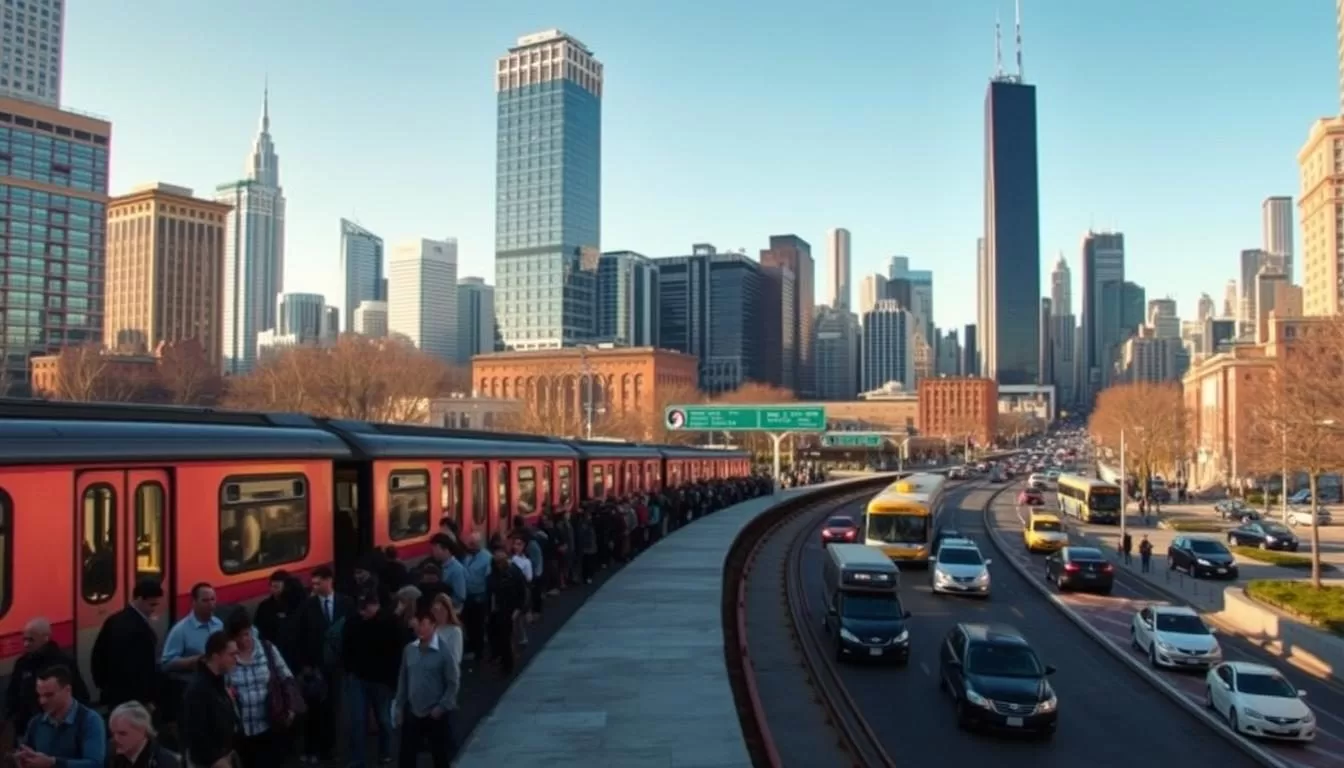
Navigating a new city can be daunting, but Chicago’s comprehensive transportation system makes it easy to get around without a car. With a range of options available, including CTA trains and buses, Metra, taxis, rideshares, and biking, you’ll find that traveling across the city is both convenient and affordable.
This guide will provide you with practical information to navigate Chicago efficiently. You’ll learn about the city’s grid system, which makes it particularly easy to navigate once you understand the basics. With this knowledge, you’ll be able to explore the city’s major attractions and neighborhoods with ease.
By understanding Chicago’s transportation system, you’ll enhance your visitor experience and make the most of your time in this vibrant city.
Overview of Chicago’s Transportation System
Understanding Chicago’s transportation system is key to navigating the city’s diverse neighborhoods and attractions. As the nation’s second-largest public transportation system, it is both extensive and complex, serving the needs of residents and tourists alike.
The Chicago Transit Authority (CTA)
The Chicago Transit Authority (CTA) operates Chicago’s eight ‘L’ train lines and 127 bus routes, providing comprehensive coverage of the city. The CTA is crucial for managing the city’s transportation infrastructure, ensuring that public transportation is efficient and reliable.
Understanding Chicago’s Grid System
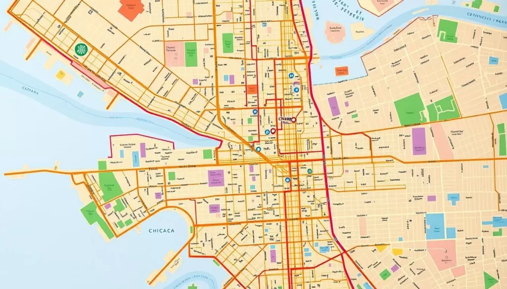
Chicago’s grid system is logical and easy to navigate. Madison Street divides the city north and south, while State Street divides it east and west. The intersection of State and Madison in downtown Chicago is the starting point of the grid system, with addresses relative to this point. For example, an address of 3600 N. Clark St. means it is 36 blocks north of Madison Street. This system makes it easier for visitors to understand how addresses work.
| Feature | Description | Benefit |
|---|---|---|
| Grid System | Divided by Madison and State Streets | Eases navigation |
| CTA Operations | Eight ‘L’ train lines and 127 bus routes | Comprehensive coverage |
| Addressing System | Relative to State and Madison intersection | Clear addressing |
Navigating Chicago’s ‘L’ Train System
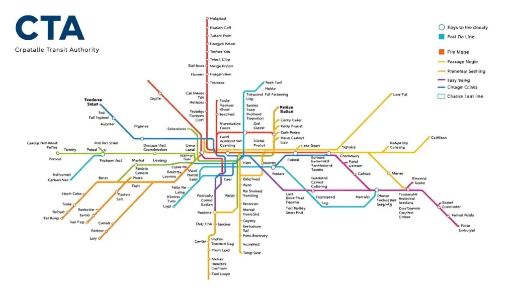
Navigating Chicago’s ‘L’ train system can seem daunting, but with a little knowledge, you’ll be a pro in no time. The ‘L’ train system, short for “elevated,” is a comprehensive network of trains that connect the city via above-ground, street-level, and subway trains.
Color-Coded Train Lines Explained
The ‘L’ train system features eight color-coded train lines: Red, Blue, Brown, Green, Orange, Pink, Purple, and Yellow. Each line has its own route, serving different parts of the city. For example, the Blue Line connects Chicago O’Hare International Airport to downtown, while the Red Line runs between the North and South Sides via downtown.
Train Fares and Payment Options
The standard train fare is $2.50 per ride, with reduced fares and unlimited day passes available. You can pay using a Ventra card or mobile payment. The fare from O’Hare International Airport to downtown is $5.
Operating Hours and Frequency
Two lines, the Blue Line and Red Line, operate 24/7. Trains typically run every 10-15 minutes during peak hours. The ‘L’ system serves 145 rail stations throughout Chicago, making it a convenient way to get around the city.
Getting Around Chicago by Bus
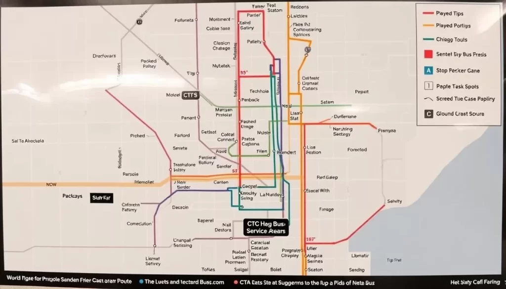
The CTA bus network is an essential part of Chicago’s public transportation system. With over 120 bus routes covering 1,516 miles and serving more than 10,000 bus stops, you can easily get around the city.
CTA Bus Routes and Coverage
The CTA bus system complements the ‘L’ train network by reaching areas not served by rail. Buses stop approximately every few blocks, making it convenient to travel throughout Chicago. You can use the CTA bus routes map to plan your trip and navigate the city.
Bus Fares and Transfers
The bus fare is $2.25 per ride, with reduced fares available for seniors, students, and people with disabilities. You can also purchase unlimited day passes for convenient travel. When transferring between buses or from bus to train, you can do so without paying an additional fare, making it easy to get where you need to go.
Using Bus Tracker and Planning Your Trip
The CTA Bus Tracker system provides real-time arrival information, allowing you to plan your trip with ease. You can use the Ventra app to track bus arrivals, plan your route, and even purchase fares. With the app, you can ensure that you’re catching the correct bus and arrive at your destination on time.
The Ventra Card: Your Key to Chicago Public Transportation
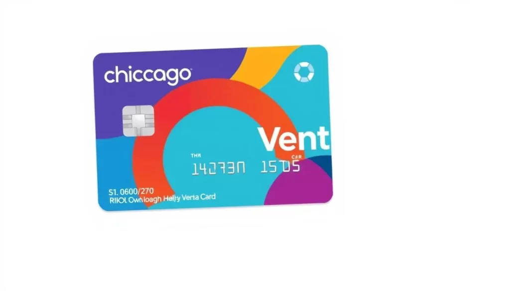
Getting around Chicago is simple with the Ventra Card, your key to the city’s buses and trains. The Ventra Card is a reloadable card that makes traveling on Chicago’s public transportation system convenient.
How to Purchase and Load Your Ventra Card
You can purchase and load your Ventra Card at Ventra vending machines located in every ‘L’ station or at over 1,000 retail locations. The card can be loaded with various fare options, including single rides, 1-day, 3-day, 7-day, and 30-day unlimited passes.
Using the Ventra Mobile App
The Ventra mobile app allows you to track bus and train arrival/departure times and reload your card balance on the go. You can also purchase and use a virtual Ventra Card on your smartphone. The app works with contactless payment systems like Apple Pay and Google Pay.
For cost-effective travel, choose the right fare option based on your length of stay. Note that Ventra Cards can be shared among multiple travelers when using stored value.
Traveling to and from Chicago’s Airports
Getting to and from Chicago’s airports is convenient, thanks to the efficient CTA train service. Chicago’s two major airports, O’Hare International Airport and Midway International Airport, are well-connected to downtown Chicago and other neighborhoods through the CTA’s train lines.

O’Hare International Airport Connections
O’Hare International Airport is directly connected to downtown Chicago via the Blue Line train service. The journey takes approximately 40 minutes. The Blue Line operates 24/7, providing flexibility for travelers with early morning or late-night flights. The train fare from O’Hare to downtown is $5, although various passes and reduced fares are available for frequent travelers or those on a budget.
The Blue Line train station is conveniently located within the airport, making it easy to navigate, even with luggage. Upon arrival in downtown Chicago, you can transfer to other CTA lines or take a short taxi ride to your final destination.
Midway International Airport Connections
Midway International Airport is connected to downtown Chicago via the Orange Line train service, with a travel time of about 25 minutes. While the Orange Line does not operate 24/7, it runs from early morning until late at night, covering most flight schedules. The train fare is $2.50, making it an affordable option compared to taxis or rideshares.
The Orange Line station at Midway is easily accessible from the airport terminals, and upon reaching downtown Chicago, you can transfer to other CTA lines or buses to continue your journey.
Metra Commuter Rail: Connecting the Suburbs
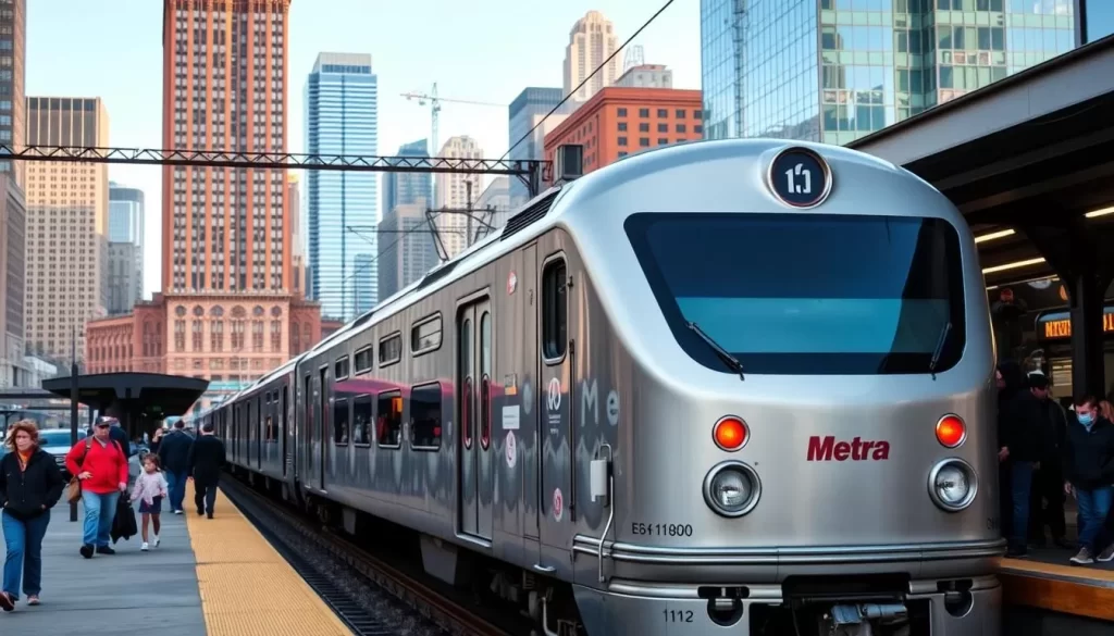
With Metra, you can easily commute from the suburbs to downtown Chicago and back. The Metra commuter rail train system is a fast and easy way to travel to the heart of the city. Metra’s 11 routes cover more than 200 stations and 3,700 square miles, making it a comprehensive transportation network.
Metra Routes and Stations
Metra operates 11 routes, serving over 200 stations across 3,700 square miles. The trains primarily connect suburban communities to downtown Chicago, making it an ideal option for commuters. Major Metra stations in downtown Chicago include Union Station, Ogilvie Transportation Center, and Millennium Station.
Tickets and Schedules
You can purchase Metra tickets before boarding via the Ventra app, available for free download from the App Store or Google Play. Riders can choose from one-way tickets, day passes, and monthly passes. Note that Metra trains operate on different schedules than CTA, with more frequent service during weekday rush hours.
Taxis and Rideshare Services in Chicago
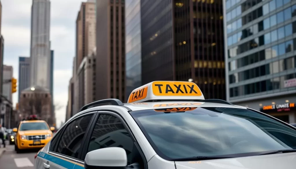
As you explore Chicago, you’ll find that taxis and rideshare services provide a flexible and efficient way to move around the city. You can choose from a variety of services to suit your needs.
Traditional Taxi Services
Chicago’s traditional taxi services are readily available throughout the city. You can hail a taxi on the street or use e-hail apps like ARRO and Curb. All Chicago taxis accept credit cards and provide receipts.
Uber and Lyft in Chicago
For on-demand ridesharing, you can download Lyft and/or Uber. Simply enter your current location and destination, review fare options, and request your ride. Designated pickup zones are available at popular attractions and transportation hubs.
Water Taxis for Scenic Travel
Chicago Water Taxi by Wendella Boats and Shoreline Water Taxi by Shoreline Sightseeing offer a fun and scenic way to travel between top tourist destinations, including Navy Pier, Museum Campus, and Willis Tower. Enjoy excellent skyline views along the way.
Biking Around Chicago
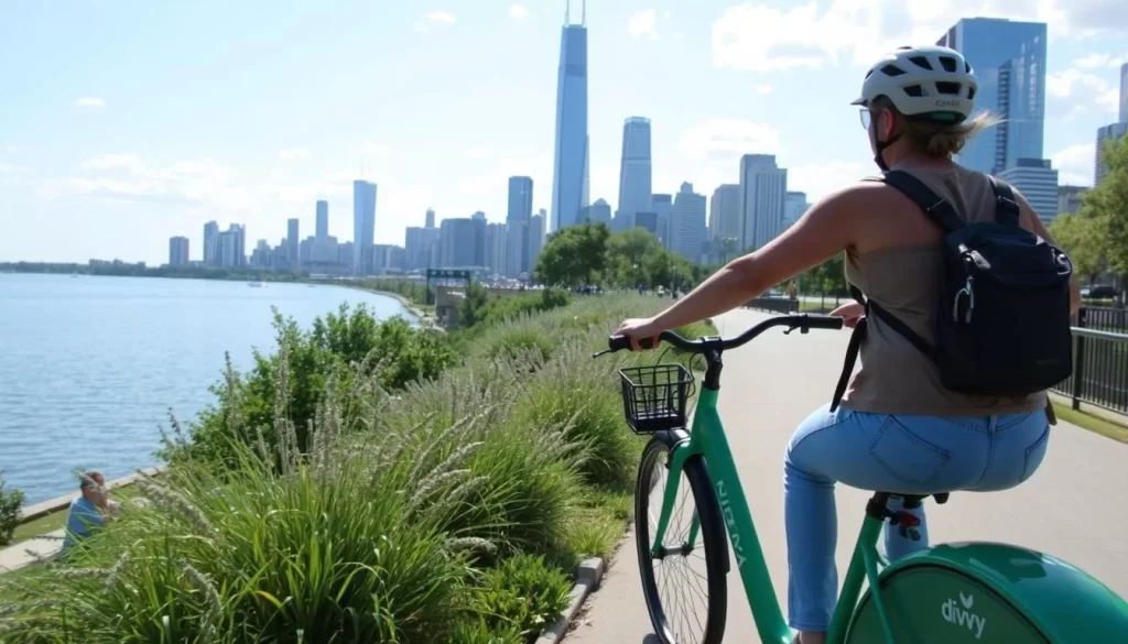
With over 450 miles of bike lanes, Chicago is a city that’s made for cycling, offering a unique way to explore its many neighborhoods and attractions. You can enjoy a leisurely ride along the scenic Lakefront Trail, an 18-mile path that connects many of the city’s major attractions.
Chicago’s Bike Lane Network
Chicago’s bike infrastructure includes protected on-street bike lanes and off-street trails that make cycling safe and enjoyable. The city’s grid system and bike lanes provide a convenient way to get around, whether you’re commuting to work or exploring local neighborhoods.
Divvy Bike Share Program
The Divvy bike share program is a convenient way to rent bikes, with over 950 stations and 17,000 bikes available across the city. You can choose from classic pedal bikes, electric bikes (e-bikes), and electric scooters. Simply pick up a bike from a self-service docking station and return it to a nearby station when you’re done.
Bike Safety and Regulations
When biking in Chicago, it’s essential to follow safety guidelines and traffic rules. Always wear a helmet, and be aware of your surroundings. You should also familiarize yourself with local bike laws and regulations to ensure a safe and enjoyable ride.
You can easily integrate biking with other forms of public transportation in Chicago. All CTA buses have bike racks, and bikes are allowed on trains during non-peak hours. Additionally, you’ll find bike parking options at many major destinations throughout the city, making it easy to combine biking with other activities.
Walking in Chicago
With its organized grid system, Chicago is a walker’s paradise. You’ll find that getting around the city on foot is straightforward and enjoyable, thanks to its pedestrian-friendly infrastructure.
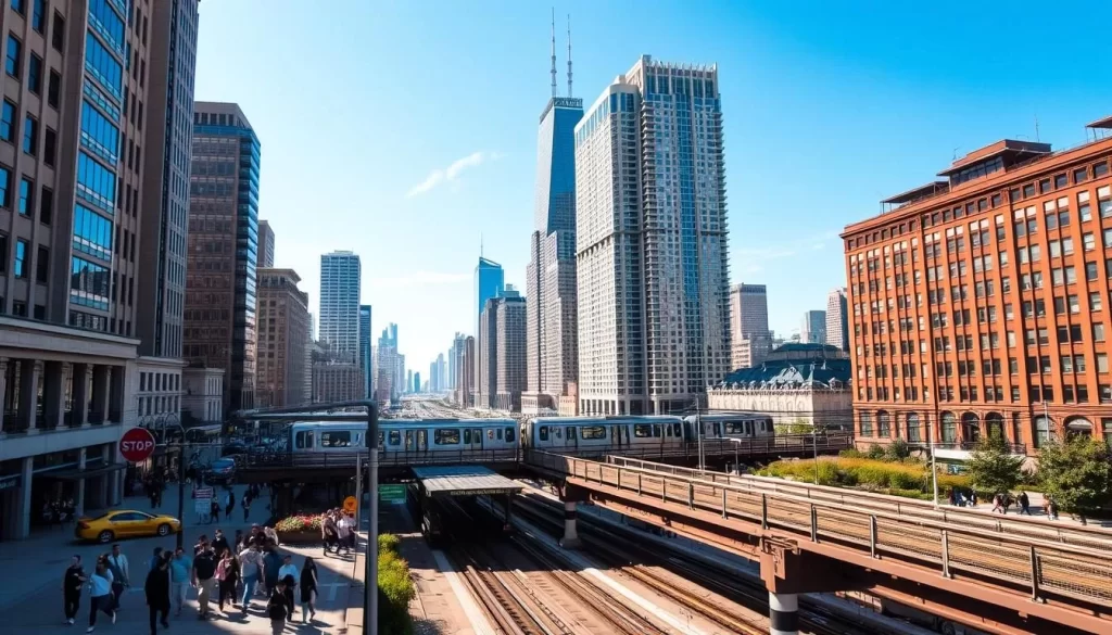
The Chicago Pedway System
One of the city’s most notable features is the Chicago Pedway, a network of underground tunnels that connect over 40 blocks in the Central Business District. This climate-controlled system allows you to navigate the city without worrying about the weather.
Pedestrian-Friendly Neighborhoods
Chicago is home to many pedestrian-friendly neighborhoods, such as the Loop, Magnificent Mile, and Lincoln Park. These areas offer a great walking experience, with plenty of attractions, shops, and restaurants to explore. You can take a stroll along the Chicago Riverwalk or visit Millennium Park, which are both pedestrian-only areas.
To make the most of your walking experience in Chicago, consider taking a guided walking tour to learn about the city’s history and architecture. Additionally, be sure to follow safety tips, especially during winter months when sidewalks can be slippery.
Driving and Parking in Chicago
Navigating Chicago by car can be daunting, but knowing the best parking options and avoiding peak traffic hours can make a big difference. If you’re driving into the city, understanding the layout and rules of the road will help ensure a smooth trip.
Navigating Chicago’s Streets
Chicago’s grid system is designed to make navigation relatively straightforward. The city is divided into a grid with numbered streets and avenues, making it easier to find your way around. However, be aware of one-way streets and construction zones, which can sometimes complicate your route.
When driving, keep in mind that rush hour traffic can significantly impact your journey. Understanding the grid system and being mindful of traffic patterns will help you navigate more efficiently.
Parking Options and Apps
Downtown Chicago offers various parking options, including street meters, parking garages, and lots. To make parking easier, several apps are available. ParkChicago allows you to pay for street meter parking from your phone, while apps like SpotHero and ParkWhiz help you find and reserve garage spaces.
These services not only save you time but also help you avoid the hassle of searching for parking spots.
Traffic Patterns and Rush Hours
Traffic in Chicago can be heavy, especially during rush hours. Typically, morning rush hour is from 7-9 am, and evening rush hour is from 4-6 pm, Monday through Friday. Planning your travel around these times can help you avoid congestion.
Additionally, be aware of construction and special events, which can also impact traffic. Using traffic apps or checking the city’s transportation website can help you stay informed.
Accessible Transportation Options
For individuals with mobility devices or disabilities, Chicago offers a range of accessible transportation options. The city’s public transportation system is designed to be inclusive, ensuring that everyone can navigate Chicago easily.
CTA Accessibility Features
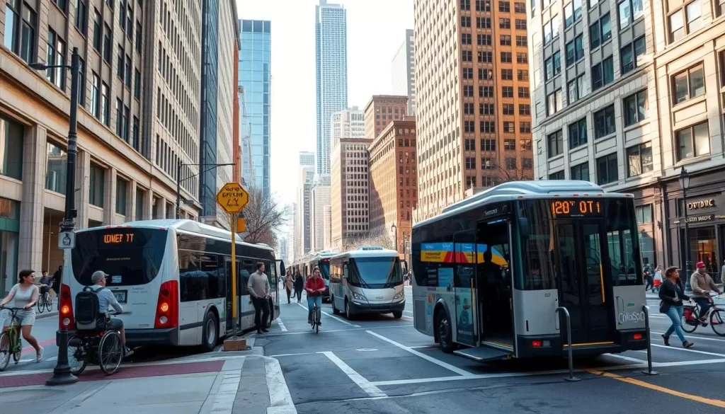
The Chicago Transit Authority (CTA) has implemented various accessibility features across its trains and buses. CTA trains are equipped with elevators, gap fillers, and accessible fare gates to facilitate smooth travel. Many ‘L’ stations are fully accessible, and these are clearly marked on CTA maps and signage. Additionally, CTA buses feature ramps for easy boarding, priority seating for those who need it, and audio announcements to keep passengers informed.
Paratransit Services
For those who cannot use fixed-route public transportation due to their disability, the Regional Transportation Authority (RTA) offers paratransit services. To be eligible, individuals must apply through the RTA, and once approved, they can use these services. Moreover, accessible taxi options are available by request, and rideshare services like Uber WAV and Lyft Access provide additional options for getting around the city.
Transportation to Popular Chicago Destinations
With its comprehensive public transportation system, Chicago makes it simple for you to visit its most popular attractions. The city’s network of buses and trains connects you to various destinations, making it easy to plan your trip.
Getting to Downtown and The Loop
Downtown Chicago, also known as The Loop, is the hub of the city, featuring iconic landmarks like the Cloud Gate sculpture (“The Bean”) at Millennium Park. You can reach downtown easily using the ‘L’ train system; the Blue Line connects you directly to major business and entertainment districts. Alternatively, numerous bus routes cover the area, providing a convenient option.
Transportation to Navy Pier and Museum Campus
Navy Pier is accessible by bus (routes 290 and 290S) or by taking the Red Line to the Harrison Station and then transferring to bus 29. You can also use the Water Taxi for a scenic ride. For Museum Campus, which includes the Field Museum, Shedd Aquarium, and Adler Planetarium, take the Metra Electric Line to the Museum Campus/11th Street Station or ride the bus (routes 146 or 130).
Reaching Chicago’s Diverse Neighborhoods
Chicago’s diverse neighborhoods, such as Wicker Park, Lincoln Park, and Hyde Park, are easily accessible by bus or train. For instance, the Brown Line ‘L’ train takes you to Lincoln Park, while the Purple Line serves Evanston and parts of Lincoln Park. Use the CTA website or a transit app to plan your route.
| Destination | Best Transit Option | Travel Time |
|---|---|---|
| Downtown Chicago (The Loop) | Blue Line ‘L’ Train | Variable |
| Navy Pier | Bus 290 or Red Line to Harrison | 30-40 minutes |
| Museum Campus | Metra Electric or Bus 146/130 | 20-30 minutes |
| Wicker Park | Brown Line ‘L’ Train to Damen | 20-30 minutes |
The Windy City’s public transportation network offers a convenient and cost-effective way to experience all that Chicago has to offer. With a comprehensive network of buses and trains, you can easily explore the city’s diverse neighborhoods and popular attractions. To make the most of your trip, download essential apps like Ventra, Transit, and Google Maps for seamless navigation. Consider purchasing multi-day public transportation passes for frequent travel. This approach not only saves you money compared to driving and parking but also helps you navigate the city efficiently.
Using public transit to reach diverse neighborhoods and understanding Chicago’s grid system will make your visit even more enjoyable. Plan ahead, and you’ll discover that getting around Chicago is easier than you think.
The above is subject to change.
Check back often to TRAVEL.COM for the latest travel tips and deals.
Here are some Tours & Sightseeing suggestions that might pique your interests!
