Navigating New York City can be a challenge, especially when the weather doesn’t cooperate. Whether you’re braving the summer subway or walking through the winter chill, the city’s extensive transportation network is always at your service.
The city’s transportation system is one of the most comprehensive in the world, serving over 10 million riders daily across five boroughs. You’ll find a vast network of subways, buses, commuter rails, ferries, and taxis that make getting around effortless without needing a car.
With over 55% of commuters relying on public transit, understanding how to use the system effectively is crucial for both visitors and residents. You’ll be able to navigate the city like a pro, knowing what to expect in terms of costs, schedules, and accessibility options.
Understanding NYC’s Transportation Landscape
Navigating New York City’s vast and complex transportation network can be daunting, but understanding its landscape is key to exploring the city efficiently. New York City’s transportation system is renowned for its comprehensiveness, connecting the five boroughs through a variety of modes.
Why Public Transit Rules in NYC
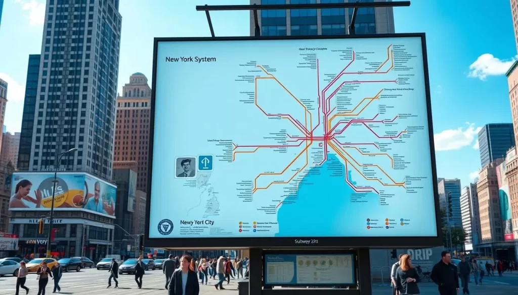
Public transit is the backbone of New York City’s transportation network. The subway system, with its 28 services running through all boroughs except Staten Island, is a prime example of this. The subway’s extensive coverage, coupled with the bus network, makes it easy to get around without a car. The efficiency and accessibility of public transit in NYC are unparalleled, making it the preferred choice for both residents and visitors.
The stations and lines that crisscross the city are hubs of activity, connecting commuters to every corner of the city. This comprehensive network ensures that no matter where you’re going in NYC, there’s a public transit option available.
The Five Boroughs and Their Connectivity
The connectivity between the boroughs – Manhattan, Brooklyn, Queens, the Bronx, and Staten Island – is a testament to the city’s well-planned transportation infrastructure. While Manhattan boasts a dense subway coverage, the outer boroughs rely heavily on bus services and express trains. Staten Island, uniquely, is served 24/7 by the Staten Island Railway, providing it with reliable connectivity.
Understanding how the different boroughs are connected through various transportation options is crucial for navigating NYC. Major transit hubs in each borough serve as vital connection points between different transportation modes, facilitating smooth travel across the city.
Navigating the New York City Subway System
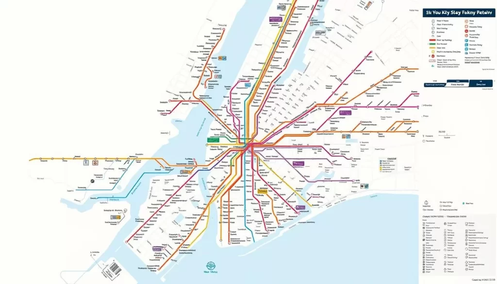
With 24/7 service, the NYC subway is always on the move, but knowing how to use it is key to getting around. The subway system is a complex network of lines and stations, with multiple trains running on different schedules. Understanding how to navigate this system is crucial for both residents and visitors.
How to Read Subway Maps and Navigate Stations
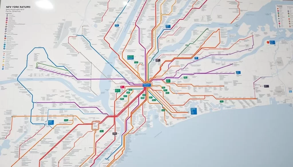
Reading a subway map can be intimidating at first, but once you understand the basics, it’s straightforward. The map is divided into different lines, each represented by a color and a letter or number. Stations are marked along these lines, and some serve as transfer points between different lines.
To navigate stations effectively, look for signs indicating the direction of trains (uptown/downtown or local/express) and the line names. Pay attention to the time of day, as service hours and frequencies can vary.
Understanding Local vs. Express Trains
The NYC subway system operates both local and express trains. Local trains stop at every station, while express trains skip certain stops, making them faster for longer journeys. Knowing whether you’re on a local or express train can save you time and frustration.
Look for signs on the platform or announcements to determine which type of train is arriving.
Subway Etiquette and Safety Tips
When using the subway, be mindful of your belongings and keep an eye on your surroundings, especially in crowded cars or during peak hours. Let passengers off the train before you board, and avoid eating strong-smelling foods.
For safety, stay away from the platform edge when trains are approaching, and avoid standing too close to the doors. Be aware of your surroundings, particularly during late-night travel.
24/7 Service and Late-Night Considerations
One of the unique features of the NYC subway is its 24/7 service. However, the frequency and type of trains can vary significantly during late-night hours. Some lines may operate local service only, while others might have reduced frequencies.
Plan your journey according to the day and time you’re traveling, and check for any planned service disruptions or construction before you go.
Mastering the NYC Bus Network
Navigating New York City’s vast bus network can be a daunting task, but with the right information, you’ll be riding like a pro in no time. The NYC bus network is an extensive system that covers all five boroughs, providing a convenient alternative to the subway.
Local vs. Express Bus Services
Understanding the difference between local and express bus services is crucial for navigating the NYC bus network efficiently. Local buses stop at every designated stop along their route, while express buses make limited stops, significantly reducing travel time. You can identify express buses by the “X” prefix in their route numbers.
Using Bus Time and Route Planning Apps
To make the most of the NYC bus network, you can utilize bus time and route planning apps. These apps provide real-time information on bus arrivals, helping you plan your journey more effectively. You can also use these apps to track bus routes and identify the most convenient stops.
Select Bus Service (SBS) and How It Works
The Select Bus Service (SBS) is a premium bus service that offers faster travel times through dedicated bus lanes and off-board fare collection. To use SBS, you need to prepay your fare at a curbside ticket machine before boarding, unless you’re using a contactless credit or debit card, which you can tap at the bus’s OMNY reader upon boarding. SBS buses have distinctive blue stops, which are equipped with ticket machines and provide clear information on routes and fares.
By understanding how to use the NYC bus network, including local and express bus services, bus time and route planning apps, and the Select Bus Service, you’ll be able to navigate the city with ease. Remember to keep your ticket or receipt as proof of payment, as you may be required to show it during fare inspections.
Payment Options for Public Transportation
To travel efficiently in New York City, it’s essential to understand the various payment methods for public transit. The city’s comprehensive network of subways and buses is supported by multiple payment options, making it convenient for both residents and visitors to get around.
MetroCard: Types, Costs, and How to Purchase
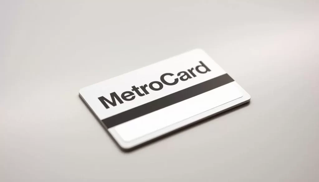
The MetroCard is the traditional payment method for NYC’s public transportation system. You can choose from several types, including Pay-Per-Ride and Unlimited Ride options. A Pay-Per-Ride MetroCard allows you to pay for individual rides, while an Unlimited Ride MetroCard provides unlimited rides for a fixed period, such as 7 days. To purchase a MetroCard, you can visit any subway station and use the vending machines or booths. The cost varies depending on the type you choose; for instance, a single ride costs $3, while a 7-day Unlimited Ride MetroCard costs $33.
OMNY: Contactless Payment System
OMNY is the modern, contactless payment system introduced by the MTA. It allows you to pay for your fares using credit or debit cards, mobile devices, or smartwatches. Simply tap your card or device on the OMNY reader at subway turnstiles or on buses to pay your fare. OMNY offers the same fare structure as the MetroCard, including free transfers between buses and subways within two hours.
Free Transfers and Money-Saving Tips
Understanding the transfer policy can help you save money. If you’re paying per ride, you get one free transfer within two hours between buses or from subway to bus. However, once you exit the subway turnstiles, you can’t transfer to another subway line without paying again. To maximize your savings, consider using an Unlimited Ride MetroCard if you plan to make multiple trips within a short period. Additionally, you can save by taking advantage of group discounts or using student fares if eligible.
- Understand NYC’s free transfer policy to save on fares.
- Maximize transfers to extend your journey without extra costs.
- Choose the right MetroCard type based on your travel frequency.
- Explore lesser-known transit deals, such as group discounts and student fares.
Commuter Rail Services for Wider Exploration
For travelers looking to venture beyond NYC, commuter rail services provide an efficient and reliable option. These services connect the city to its surrounding areas, making it easier for you to explore beyond the five boroughs.
Long Island Rail Road (LIRR) Basics
The Long Island Rail Road (LIRR) is one of the busiest commuter railroads in the United States, serving the Long Island area. It operates from Penn Station in Manhattan to various parts of Long Island, providing a vital link for commuters and travelers alike. With its extensive network, the LIRR is your best option for exploring Long Island’s beaches, cultural attractions, and more.
Metro-North Railroad Connections
Metro-North Railroad is another crucial commuter rail service that connects Manhattan to the northern suburbs, including parts of New York, Connecticut, and beyond. It operates from Grand Central Terminal, offering various lines that cater to different areas, making it easier for you to plan your trip to destinations like the Hudson Valley and Connecticut.
NJ Transit and PATH to New Jersey
NJ Transit operates commuter rail services from Penn Station to various New Jersey communities, with connections to Newark Airport. The PATH rapid transit system links Manhattan to Jersey City, Hoboken, Harrison, and Newark, providing 24/7 service. Understanding the differences between NJ Transit and PATH in terms of fares, payment methods, and service patterns can help you navigate New Jersey more effectively.
Ferry Services Around New York City
The ferry services around New York City are a vital part of the city’s transportation infrastructure, offering both practicality and panoramic views. Whether you’re a commuter or a visitor, understanding the various ferry options can enhance your travel experience.

Staten Island Ferry: A Free Harbor Crossing
The Staten Island Ferry is a free service that operates between Staten Island and Lower Manhattan, providing a unique commuting option and a popular tourist attraction. With frequent departures, it’s a convenient way to travel without the cost.
NYC Ferry System Routes and Fares
The NYC Ferry System has expanded significantly, offering routes to various parts of the city, including Brooklyn, Queens, and the Bronx. Fares are competitive with other public transport options, and there are discounts for certain groups. You can plan your route using the NYC Ferry app or website.
NY Waterway and Other Harbor Transportation
NY Waterway is a significant ferry service operating between Manhattan and New Jersey, with stops in midtown, Battery Park City, and Wall Street. It offers a convenient alternative for commuters and visitors alike, with fares ranging from $7.50 to $21.50 depending on the route. Other private operators also provide harbor transportation services, including water taxis and sightseeing cruises.
These ferry services not only provide an alternative to bridge and tunnel traffic but also connect to various transit hubs, making it easier to continue your journey. Whether you’re looking for a practical commute or a scenic tour, New York City’s ferry services have something to offer.
Taxis and Ride-Hailing Services
When in New York City, understanding how to use taxis and ride-hailing services can enhance your travel experience. New York City’s transport network is comprehensive, with taxis and ride-hailing services playing a vital role.
Yellow and Green Taxis: How They Work
Yellow and Green Taxis are a traditional way to navigate New York City. Yellow Taxis can be hailed on the street, while Green Taxis operate in the outer boroughs. It’s essential to know that it’s technically illegal for drivers to refuse to take you anywhere within the city limits, so don’t hesitate to push back if they tell you they don’t want to go to the outer boroughs.
Ride-Hailing Apps: Uber, Lyft, and Via
Ride-hailing apps like Uber, Lyft, and Via offer a convenient alternative to traditional taxis. These services allow you to request a ride using your smartphone, providing a straightforward way to get around the city. When using these services, be aware of the estimated cost and travel time to plan your trip effectively.
Tips for Hailing and Riding in NYC Taxis
To successfully hail a taxi in NYC, stand at designated taxi stands or on the street, especially in areas with high foot traffic. Communicate clearly with the driver about your destination and preferred route. Be aware of your rights as a passenger and know that drivers are obligated to take you to any destination within the five boroughs. Be cautious of potential scams and ensure you’re paying the correct fare.
By understanding how to use taxis and ride-hailing services, you can navigate New York City more efficiently, making the most of your trip.
New York City, New York: Public Transportation & Getting Around on Foot
As you explore New York City, you’ll discover that walking is one of the best ways to experience its vibrant streets. The city’s layout, particularly in Manhattan, follows a grid system that makes it relatively easy to navigate on foot.
Walking Manhattan’s Grid System
Manhattan’s grid system is a boon for pedestrians. Avenues run north-south, while streets run east-west, creating a straightforward navigation system. This grid allows you to plan your route easily and explore different neighborhoods without getting lost. You’ll find that walking a few miles through Manhattan can be a great way to see many of the city’s iconic landmarks.
Pedestrian Safety and Sidewalk Etiquette
While walking in NYC, it’s crucial to be mindful of pedestrian safety and sidewalk etiquette. Always follow traffic signals and be aware of your surroundings, especially in busy areas. Keep to the right on sidewalks to allow others to pass, and be cautious of bike lanes. In the winter, be prepared for chilly conditions and icy winds by dressing warmly and watching your step on potentially slippery sidewalks.
Best Neighborhoods for Walking Tours
New York City has numerous neighborhoods perfect for walking tours. Historic districts like Greenwich Village and SoHo offer charming streets and architectural interest. You can also walk along scenic routes like the High Line or through Central Park. These areas provide a mix of culture, history, and entertainment, making for an engaging and enjoyable walking experience. You’ll find plenty of cafes and shops to duck into along the way, making your walk around New York City both pleasant and memorable.
Cycling in the Big Apple

Cycling in New York City is an exhilarating way to explore the city’s diverse neighborhoods and scenic waterfronts. With its comprehensive bike-sharing programs and scenic routes, New York City is a cyclist’s paradise waiting to be explored.
You can enjoy a leisurely ride through one of the city’s many green spaces, such as Central Park or Prospect Park, which have paved loops popular with cyclists. Alternatively, you can ride along the greenways that line the East River, the Hudson River, and the Harlem River.
Citi Bike: NYC’s Bike-Sharing Program
Citi Bike is New York City’s bike-sharing program, offering an affordable and convenient way to get around the city. With numerous docking stations throughout Manhattan, Brooklyn, and Queens, you can pick up a bike at one location and drop it off at another, making it ideal for one-way trips.
A day pass allows you to ride for a day, with the first 30 minutes of each ride included. For longer or more frequent rides, consider purchasing a monthly membership for unlimited 30-minute rides.
Bike Lanes and Cycling Safety
New York City has made significant investments in cycling infrastructure, including protected bike lanes and bike-share systems. When cycling, always follow traffic rules and be mindful of your surroundings to ensure a safe ride.
Some of the city’s major bike routes, such as the Hudson River Greenway, offer a safe and scenic ride with spectacular views of the river and the New Jersey Palisades.
Best Cycling Routes for Visitors
Visitors to New York City can enjoy several scenic cycling routes. The Central Park Loop (6.1 miles) and Prospect Park Loop (3.35 miles) are popular choices for recreational cycling, offering a car-free environment and picturesque views.
For a more urban experience, the Hudson River Greenway, a 13-mile protected path along Manhattan’s west side, offers spectacular river views and is a must-ride for any cyclist visiting New York City.
Airport Transportation Options
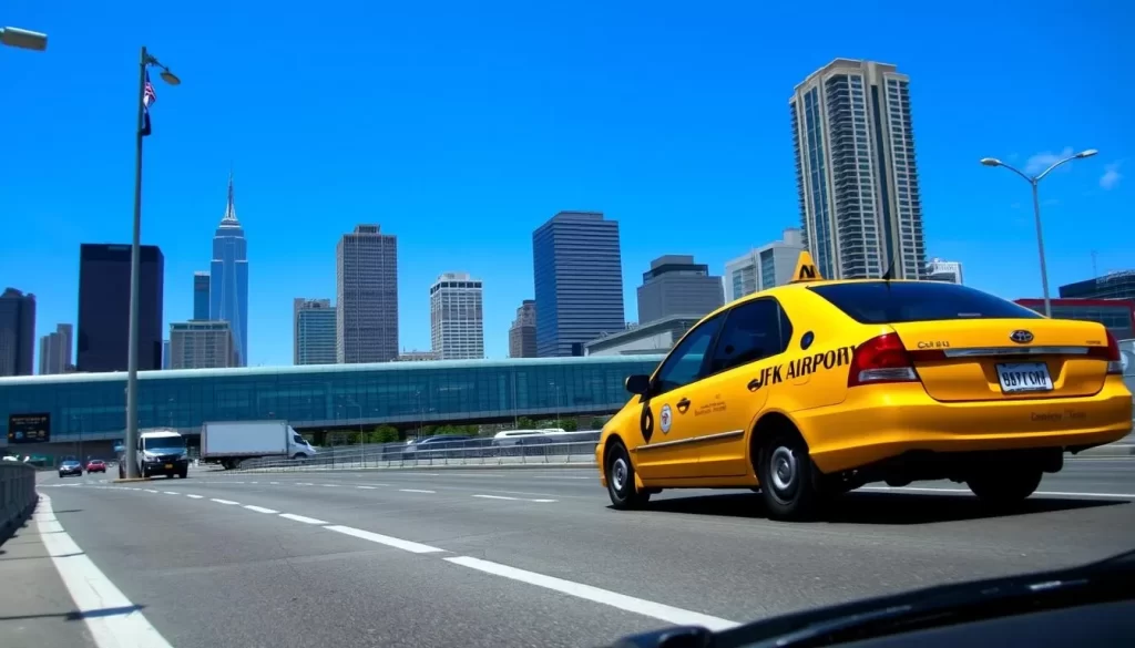
New York City’s airports are well-connected to the city through various transportation options, making your trip smoother. Whether you’re arriving at or departing from one of New York City’s three major airports – JFK International Airport, LaGuardia Airport, or Newark Liberty International Airport – you have multiple choices for getting to your final destination.
Getting To and From JFK International Airport
JFK International Airport is one of the busiest airports in the world, and getting to Manhattan or other parts of New York City is relatively straightforward. You can take the AirTrain JFK, which connects to the subway system, offering an affordable and efficient way to reach your destination. The total travel time can vary from 45 minutes to over an hour, depending on your final destination and the time of day.
The AirTrain JFK service operates 24/7, making it a convenient option even for late-night arrivals or early morning departures. Alternatively, you can opt for a taxi or ride-hailing services like Uber or Lyft, which take around 45-60 minutes to reach Manhattan, depending on traffic.
LaGuardia Airport Connections
LaGuardia Airport, while not having a direct subway connection, offers several transportation options to get you to New York City. The M60 Select Bus Service connects LaGuardia to the subway system at Astoria Boulevard, making it a convenient and relatively quick option. Taxis and ride-hailing services are also readily available.
Newark Liberty International Airport Access
For those arriving at or departing from Newark Liberty International Airport, the AirTrain Newark is a convenient option. It connects the airport’s terminals to NJ Transit and Amtrak trains at Newark Airport Station, providing service to Penn Station in Manhattan. The total cost for this journey includes the AirTrain fee ($8.25) plus the NJ Transit fare ($15.25), making it an economical choice for many travelers. The trip takes approximately 30-40 minutes to Penn Station.
In New York, having multiple transportation options from its airports enhances your travel experience, making your trip to or from the city more manageable. Whether you prioritize speed, cost, or convenience, there’s a suitable option for your journey.
Specialized Transit Options
New York City’s transportation network includes several specialized services designed to enhance accessibility. Whether you’re traveling with disabilities or looking for unique ways to navigate the city, these options can make your journey smoother.
Roosevelt Island Tram
The Roosevelt Island Tram is a convenient way to travel between Roosevelt Island and Manhattan. This aerial tramway offers stunning views of the city skyline while providing easy access to the island. With spacious cars and frequent departures, it’s an attractive option for both locals and visitors.
![]()
Accessible Transportation for Travelers with Disabilities
Navigating New York City’s subway system can be challenging for travelers with disabilities. Although the MTA has made efforts to improve accessibility, out of 472 stations across the five boroughs, only 130 are currently ADA-compliant with street-level ramps or elevators. However, there are resources available to help plan your journey.
Bus transit is often a more accessible option. All NYC buses are wheelchair accessible, with ramps or lifts and priority seating areas for seniors and passengers with disabilities. The MYmta app is a valuable tool for tracking elevator and escalator outages system-wide, helping you plan a more accessible route.
| Transportation Mode | Accessibility Features |
|---|---|
| Subway | 130 out of 472 stations are ADA-compliant; Braille signage; audible announcements |
| Bus | Wheelchair ramps or lifts; priority seating for seniors and passengers with disabilities |
| Access-A-Ride | Paratransit service for eligible riders who cannot use regular public transit |
By utilizing these resources and services, you can navigate New York City with greater ease. Whether you’re using the subway, bus, or specialized services like Access-A-Ride, the city’s transportation network is designed to be more inclusive and accessible.
Planning Multi-Modal Journeys
Understanding how to combine subway, bus, ferry, and bike services can significantly enhance your travel experience in New York City. With an average commute time of 1 hour and 27 minutes on weekdays, mastering multi-modal journeys can save you time and reduce stress.
Best Apps for NYC Transit Navigation
To navigate York City‘s complex transit system, several apps can be invaluable. Apps like Citymapper, Google Maps, and MTA Subway provide real-time information and route planning, helping you make the most of your trip. These apps can guide you through the best routes and modes of transport for your journey.
Combining Different Transit Methods Effectively
When planning your journey, consider combining different transit modes to optimize your travel time. For instance, using express subway services in conjunction with local bus routes can significantly reduce your travel time. Additionally, being aware of major connection points and typical transfer times can help you plan your trip more efficiently across New York City.
Transportation Tips for Different Seasons
As you navigate the city that never sleeps, you’ll need to adjust your transportation strategy to suit the changing seasons in New York. The city’s comprehensive public transportation system, including the subway and bus networks, operates around the clock, but there are specific considerations for different times of the year.
Winter Travel Considerations
During the winter months, New York City’s transportation system faces challenges such as snowstorms and freezing temperatures. You should check the subway and bus schedules regularly for service changes or disruptions. It’s also a good idea to have a backup plan for your daily commute, such as knowing alternative bus or subway routes.
Summer Heat and Transit Comfort
Summer in New York can be hot and humid, making subway travel potentially uncomfortable. To stay cool, you can opt for bus routes that offer more ventilation or take advantage of outdoor transit options like ferries. Planning your travel during off-peak hours can also help you avoid crowded trains and buses. Additionally, staying hydrated by carrying water and taking advantage of cooling centers or air-conditioned public spaces during extreme heat waves is advisable. You can enjoy your day out in New York without the hassle by planning your rides in advance.
Budget-Friendly Transportation Strategies
You can navigate New York City without overspending on transport, using a range of economical choices. The city’s high rate of public transit use makes it one of the most energy-efficient cities in the United States.
Weekly and Monthly Pass Options
One of the most cost-effective ways to travel in New York City is by using weekly or monthly pass options. These passes provide unlimited rides on buses and subways, making them ideal for frequent travelers. By opting for a pass, you can save both money and time, as you won’t need to worry about individual fares.
Free and Low-Cost Transit Alternatives
New York City offers several free and low-cost transit alternatives. For instance, the Staten Island Ferry is a completely free service. Additionally, certain crosstown buses and community shuttles provide affordable transportation in specific neighborhoods. You can also take advantage of free transfer policies when combining subway and bus trips, extending your journey without extra cost. Walking between major attractions is another way to save on transit costs while enjoying scenic views of the city.
Conclusion: Mastering NYC’s Transit System
With its comprehensive public transportation system, New York City offers an unparalleled travel experience. You’ll now have a comprehensive understanding of NYC’s vast transportation network spanning all five boroughs and beyond. We’ve guided you through navigating the subway system, bus network, commuter rails, ferries, taxis, and specialized transit options.
You’ve learned practical tips for using payment systems, planning efficient routes, and adapting to seasonal conditions. By mastering NYC’s transit options, you’ll save money, reduce environmental impact, and experience the city as New Yorkers do every day. Whether you’re traveling for business or pleasure, the skills you’ve gained will make your New York experience more enjoyable and stress-free.
Now it’s time to put your knowledge into practice and discover the countless destinations accessible through New York City’s remarkable transportation network. Remember, flexibility is key when using NYC transit – service changes happen, but with this guide, you’ll be able to adapt and find alternative routes.
The above is subject to change.
Check back often to TRAVEL.COM for the latest travel tips and deals.


