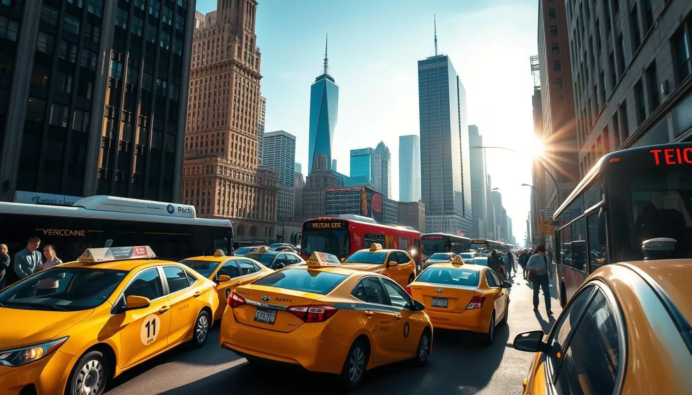
Navigating New York City can be a challenge, but with its comprehensive public transportation system, you’ll find it’s easier than you think. The city’s infrastructure includes an extensive network of subways, buses, ferries, and taxis, making it simple to get where you need to go.
The weather can greatly impact your travel plans, whether you’re taking the subway during the sweltering summer or walking through the snowy streets in winter. Understanding the various transportation options available is key to navigating the city efficiently.
In this guide, we’ll explore the Metropolitan Transportation Authority (MTA) and the various ways to get around, from the subway to commuter rails and ferries. You’ll discover why public transportation is often the preferred way to navigate New York City, despite the challenges of traffic congestion and limited parking.
Overview of NYC’s Transportation System
New York City’s transportation network is a remarkable achievement, providing residents and visitors with a range of options for getting around the city. As the most populous city in the United States, New York City’s transportation system is designed to meet the needs of its diverse population.
Why Public Transit Rules in NYC
Public transportation is the lifeblood of New York City, with over 55% of commuters relying on it daily—the highest rate in any American city. The city’s dense urban layout makes public transportation not just convenient but often necessary, as driving and parking can be challenging and expensive.
- The city’s public transportation system is used by over 55% of commuters, making it the highest rate in any American city.
- The dense urban layout of New York City makes public transportation a necessity, as driving and parking can be difficult and costly.
- New York City’s public transportation system contributes to the city’s energy efficiency, with gasoline consumption at the rate of the national average in the 1920s.
By using public transportation, New Yorkers can save time, money, and reduce their environmental impact. The city’s public transportation system is also a vital component of its economy, facilitating the movement of people and goods across the city.
The Metropolitan Transportation Authority (MTA)
The Metropolitan Transportation Authority (MTA) is the public benefit corporation that operates most of NYC’s transit systems, including subways, buses, and two commuter rail networks. The MTA serves over 15 million people across a 5,000-square-mile area, making it North America’s largest transportation network.
The MTA is responsible for maintaining and improving the city’s transportation infrastructure, ensuring that it remains safe, reliable, and efficient. By providing a comprehensive transportation network, the MTA plays a critical role in supporting the city’s economy and quality of life.
Key Facts About the MTA:
- Operates subways, buses, and commuter rail networks
- Serves over 15 million people across a 5,000-square-mile area
- North America’s largest transportation network
Navigating the NYC Subway
The New York Subway, with its 25 routes and over 665 miles of track, is an extensive system that can be navigated with the right guidance. As the largest subway system in the world by the number of stations, it offers an efficient way to explore New York City.
Understanding the Subway Map and Routes
Deciphering the NYC subway map is the first step to navigating the system. The map includes 25 routes covering more than 665 miles of track across 472 stations. Understanding the color-coded lines and number/letter designations is crucial. New Yorkers refer to trains by their numbers or letters rather than colors, so familiarizing yourself with these designations will make your journey smoother.
The subway map is complex, but breaking it down into sections can help. You can start by identifying the main lines and their intersections. The subway system is divided into several categories, including local and express trains, which are denoted by different symbols and letters.
- Local trains stop at every station on a line.
- Express trains skip some stops, providing faster service between major stations.
Subway Hours and Frequency
Unlike most other major cities’ subway systems, the New York City Subway operates 24 hours a day, 7 days a week. However, the frequency of trains varies depending on the time of day. During peak hours, trains run frequently, but during late-night hours, the service may be less frequent.
Understanding the train schedule is essential for planning your day. You can check the MTA website or use a transit app to get the latest information on subway hours and frequency.
Subway Etiquette and Safety Tips
Riding the subway requires some basic etiquette and awareness of your surroundings. To ensure a smooth and safe ride, follow these tips:
- Move to the center of the car to allow others to board.
- Remove your backpack to give more space to fellow passengers.
- Avoid empty cars on otherwise crowded trains, as they might be empty for a reason.
- Keep your belongings secure and be aware of your surroundings.
- Hold onto poles or straps when standing, especially during rush hour.
By following these guidelines, you can navigate the NYC Subway with confidence and make the most of your time in New York City.
NYC Bus System
Navigating New York City is made easier with its extensive bus network, which includes over 300 routes operating 24/7. The Metropolitan Transportation Authority (MTA) operates this vast network, ensuring that all five boroughs are well-connected.
Local vs. Express Buses
New York City’s bus system differentiates between local and express buses. Local buses make frequent stops, covering uptown, downtown, and crosstown routes, while express buses skip local stops, providing faster service between boroughs. The MTA also offers Select Bus Service (SBS), a faster option that requires prepayment before boarding unless using a contactless payment method.
Local Buses: These buses stop frequently, making them ideal for shorter trips or accessing specific neighborhoods. Express Buses: Designed for longer trips, express buses reduce travel time by limiting the number of stops.
Bus Routes and Schedules
Understanding bus routes and schedules is crucial for effective navigation. Bus routes in New York City are labeled with letters indicating their borough (B for Brooklyn, M for Manhattan, Bx for Bronx, S for Staten Island, and Q for Queens). You can check bus schedules and real-time arrivals using the MYmta app or by scanning the QR code at bus stops.
| Borough | Route Prefix | Example Route |
|---|---|---|
| Brooklyn | B | B1 |
| Manhattan | M | M1 |
| Bronx | Bx | Bx1 |
| Staten Island | S | S1 |
| Queens | Q | Q1 |
Using the Bus Effectively
To use the NYC bus system effectively, plan your route in advance using the MYmta app or the MTA website. Consider using the bus for crosstown travel in Manhattan or when heading to areas with limited subway access. Prepaying your fare or using a contactless payment method can also streamline your journey.
Payment Options for Public Transportation
Understanding the payment options for New York City’s public transportation is crucial for a smooth trip. The Metropolitan Transportation Authority (MTA) operates the subway and bus system, and there are several ways to pay for your ride.
MetroCard: Types and Benefits
The MetroCard is a traditional payment method for NYC public transportation. You can choose from several types of MetroCards, including pay-per-ride and unlimited ride options. The pay-per-ride MetroCard can be used for $2.90 per ride, while the unlimited ride options are available for 7-day ($34) and 30-day ($132) periods.
You can purchase MetroCards from vending machines located in subway stations. The machines accept cash, credit, and debit cards. It’s advisable to use the vending machines during off-peak hours to avoid long queues.
- Pay-per-ride MetroCard: $2.90 per ride
- 7-day unlimited ride MetroCard: $34
- 30-day unlimited ride MetroCard: $132
OMNY: Contactless Payment System
OMNY is a contactless payment system introduced by the MTA in 2019. You can use your contactless credit/debit card or smartphone to pay for your ride. The OMNY system is convenient, as it eliminates the need to carry a MetroCard.
The OMNY system also offers a fare cap, making rides free after 12 journeys within 7 days. This feature is beneficial for frequent travelers.
Fares and Free Transfers
The fare for a single ride on the NYC subway or bus is $2.90. If you’re paying per ride, you can get one free transfer within two hours of your first swipe. The transfer can be between buses or from subway to bus, but not from subway to subway.
To make the most of your trip, it’s essential to understand the transfer policy. You can use the OMNY system or MetroCard for your transfers. Kids under 44 inches tall ride for free when accompanied by a paying adult.
- Pay-per-ride fare: $2.90
- Free transfer within two hours: bus to bus or subway to bus
Commuter Rail Services
With over 250 stations and 20 rail lines, New York City’s commuter rail is the largest in the United States, serving more than 150 million commuters annually in the tri-state region. The commuter rail services are operated by multiple agencies, providing extensive coverage to the suburbs and beyond.
Long Island Rail Road (LIRR)
The Long Island Rail Road (LIRR) is one of the busiest commuter railroads in the United States, connecting Long Island to Manhattan via Penn Station and the recently opened Grand Central Madison terminal. With 11 branches serving different parts of Long Island, the LIRR provides a vital transportation link for both commuters and travelers. You can travel to various destinations on Long Island using the LIRR, making it an essential service for those heading to the Hamptons, Montauk, or other popular spots.
Metro-North Railroad
The Metro-North Railroad is another crucial commuter rail service, connecting New York City to upstate New York and Connecticut via Grand Central Terminal. The Metro-North system includes three main lines: the Harlem, Hudson, and New Haven lines, each serving different areas and providing a convenient travel option for those in the surrounding regions. Whether you’re heading to the Hudson Valley or New Haven, Metro-North offers a reliable and relatively quick journey.
New Jersey Transit and PATH
In addition to the LIRR and Metro-North, New Jersey Transit operates the rail network west of the Hudson River, connecting Manhattan to various parts of New Jersey, including Newark, Hoboken, and Jersey City. The PATH (Port Authority Trans-Hudson) service also provides a direct link between New Jersey and Manhattan, making it easy to travel between the two regions. These services are essential for commuters who work in New York City but live in New Jersey.
You can purchase tickets for these commuter rail services through vending machines or by using the TrainTime app, making it convenient to plan and execute your journey. Whether you’re traveling for work or leisure, understanding the commuter rail options available can help you navigate the region more effectively.
Ferry Services in NYC
New York City’s ferry system is an underrated gem that provides a fun and cost-effective way to see the city from a different perspective. While many focus on the subway, the ferry services offer a unique way to travel between the city’s boroughs.
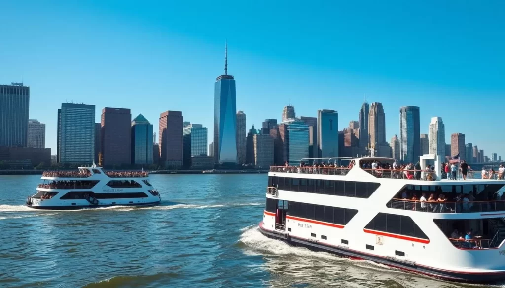
Staten Island Ferry
The Staten Island Ferry is a vital transportation link between Manhattan and Staten Island, operating 24/7. It’s completely free, making it an attractive option for those looking to save on transportation costs. One of the main attractions of the Staten Island Ferry is the spectacular views it offers of the Statue of Liberty and New York Harbor.
Key Benefits:
- Operates 24 hours a day, 7 days a week
- Completely free of charge
- Offers stunning views of the Statue of Liberty and New York Harbor
NYC Ferry Routes
NYC Ferry connects various waterfront communities across the five boroughs, including South Brooklyn, the Rockaways, Western Queens, and the Bronx. There are also seasonal routes that operate between Manhattan and Staten Island, Governors Island, and Coney Island. The system is designed to provide an efficient and enjoyable way to travel.
The fare for NYC Ferry is $4.50 for a single ride, separate from MTA fares. You can purchase tickets using the NYC Ferry app or vending machines at the landings. This service is not only a practical way to commute but also a great way to enjoy the city’s waterways.
NYC Ferry Routes Include:
- South Brooklyn
- The Rockaways
- Western Queens
- The Bronx
- Seasonal routes to Staten Island, Governors Island, and Coney Island
Taxis and Ride-Hailing Services
The streets of New York City are known for their iconic yellow cabs, but ride-hailing services like Uber and Lyft are also extremely popular. When you’re in the city, you’ll find that these services provide a convenient way to get around, especially when you’re in a hurry or traveling with a group.
Yellow and Green Taxis
Yellow cabs are a classic New York experience. Licensed by the NYC Taxi & Limousine Commission, these cabs are metered, with fares starting at $3, plus $0.70 per mile if traffic is slow or stopped and $0.70 per 1/5 mile if it’s moving at least 12 miles per hour. To hail a cab, look for one with its rooftop lights on and raise your arm to signal for pickup.
Green “boro taxis” serve upper Manhattan and the outer boroughs, providing an alternative when yellow cabs are scarce. Understanding the fare structure and how to hail a cab effectively can make your trip more efficient.
| Taxi Type | Service Area | Fare Starting Rate |
|---|---|---|
| Yellow Cab | All of Manhattan, airports | $3 |
| Green Boro Taxi | Upper Manhattan, outer boroughs | $3 |
Uber, Lyft, and Other Ride-Sharing Apps
Uber and Lyft have become staples in New York City’s transportation landscape. These services often offer competitive rates compared to traditional taxis, and your ride will usually arrive after only a short wait. Using ride-hailing apps is straightforward: download the app, set your pickup location, and choose your ride type.
These services are particularly useful in areas where hailing a cab might be difficult, or when you’re traveling with a large group or a lot of luggage. The apps provide real-time updates on your ride’s arrival and allow you to track your journey.
When to Choose a Taxi Over Public Transit
While public transportation is a convenient way to navigate New York City, there are times when taking a taxi or using a ride-hailing service makes more sense. If you’re traveling late at night when public transit is less frequent, or if you’re carrying heavy luggage, a taxi or ride-hailing service can be a more convenient option.
Additionally, during bad weather or when time is of the essence, opting for a taxi or ride-hailing service can save you the hassle of navigating through crowded streets or waiting for a bus or subway train.
Walking in New York City
With its comprehensive network of sidewalks and pedestrian paths, New York City is a walker’s paradise, inviting you to explore its many wonders. Walking is often the best way to experience the city’s diverse neighborhoods, allowing you to absorb the local culture and discover hidden gems that you might miss when using other forms of transportation.
Navigating Manhattan’s Grid System
Manhattan’s grid system makes navigation relatively straightforward. Streets run east-west and are numbered, increasing as you go north, while avenues run north-south, numbered from east to west. This logical layout allows you to easily find your way around the city. For instance, if you’re heading to a specific address, understanding the grid can help you navigate more efficiently.
Pedestrian Safety and Etiquette
When walking in New York City, it’s essential to be aware of your surroundings to ensure a safe and enjoyable experience. Keep to the right side of sidewalks, avoid stopping suddenly, and be mindful of other pedestrians. In busy areas, it’s courteous to walk no more than two people across to avoid blocking the flow of foot traffic.
Additionally, following traffic signals and being cautious of turning vehicles can significantly reduce your risk of encountering problems. During winter, extra caution is necessary when streets are slippery. By being aware and prepared, you can navigate New York City’s streets safely and enjoy all that the city has to offer.
| Area | Walkability | Best Time to Walk |
|---|---|---|
| Manhattan | High | Early morning or late evening |
| Brooklyn | Moderate | Afternoon |
| Queens | Moderate | Weekends |
Biking Around NYC
New York City has evolved into a more bike-friendly city with dedicated cycling lanes and a popular bike-sharing system. This transformation makes it easier for residents and visitors to navigate the city on two wheels.
Citi Bike: NYC’s Bike-Sharing Program
Citi Bike is New York’s bike-sharing program, boasting over 1,300 stations and 20,000 bikes throughout the city and into Jersey City. You can rent a bike for a single 30-minute ride for $4.99, purchase a day pass for $25 that allows unlimited 30-minute rides within 24 hours, or opt for an annual membership. To use Citi Bike, simply locate a docking station, unlock a bike using the app or kiosk, and return it to any station within your chosen time frame to avoid additional charges.
Bike Lanes and Safety Tips
New York City has an extensive network of bike lanes, including protected lanes, conventional lanes, and greenways. While biking in NYC can be challenging due to vehicular and pedestrian traffic, following safety tips can enhance your experience. Always wear a helmet, follow traffic laws, and stay alert for potential hazards like opening car doors and pedestrians stepping into bike lanes. Use hand signals when turning to communicate with other road users.
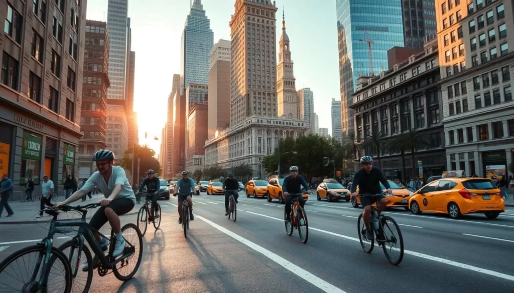
Some of the most bike-friendly areas in NYC include Central Park’s 6-mile loop, the Hudson River Greenway, and Prospect Park. These areas offer a more relaxed biking experience, away from the hustle and bustle of city streets.
| Bike-Friendly Areas | Location | Description |
|---|---|---|
| Central Park | Manhattan | 6-mile loop around the park |
| Hudson River Greenway | Manhattan | Scenic waterfront path |
| Prospect Park | Brooklyn | Extensive cycling paths within the park |
By understanding how to use Citi Bike and navigating the city’s bike lanes safely, you can enjoy a unique and exhilarating way to experience New York City.
Airport Transportation Options
New York City’s three major airports, JFK, LaGuardia, and Newark, offer various transportation options to suit different needs and budgets. Understanding these options can help you navigate the journey to or from the airport more efficiently.
Getting To/From JFK Airport
The AirTrain JFK is a convenient way to travel to and from John F. Kennedy International Airport. This 8.1-mile rapid transit system connects JFK to New York’s subway and commuter rail network in Queens, operating 24 hours a day. The AirTrain JFK provides free transit between airport terminals. For trips beyond the airport, the train costs $8.25 in addition to the subway fare. You can connect to the subway and Long Island Rail Road (LIRR) at Jamaica Station or Howard Beach.
- Take the AirTrain JFK for convenient travel between terminals and to the subway/LIRR.
- Connect to the subway or LIRR at Jamaica Station or Howard Beach.
- The AirTrain operates 24/7, making it a reliable option at any time.
Getting To/From LaGuardia Airport
LaGuardia Airport is served by bus services, with the Q70 LaGuardia Link being a prominent option. This bus service connects LaGuardia Airport to the Woodside subway/LIRR station, and it has been free since 2022. You can also use other MTA bus routes to reach different parts of New York City.
- Use the Q70 LaGuardia Link bus service from the Woodside subway/LIRR station.
- Other MTA bus routes are available for travel to various parts of the city.
- Check the MTA website for bus schedules and routes.
Getting To/From Newark Liberty International Airport
Newark Liberty International Airport is connected to the city via NJ Transit trains. You can take a train from Penn Station to the Newark Airport station, where you can connect to the AirTrain Newark monorail. This monorail system links the three terminals, making it easy to move between them.
- Take NJ Transit trains from Penn Station to the Newark Airport station.
- Connect to the AirTrain Newark monorail to travel between terminals.
- Plan your trip using the NJ Transit website or app.
When traveling with heavy luggage or during off-peak hours, consider using taxis, ride-sharing services, or airport shuttles as alternative transportation options.
Accessible Transportation in NYC
As you explore the vast transportation network in New York City, you’ll find that accessibility has become a significant focus. The city is working to ensure that everyone, regardless of their abilities, can navigate the subway and bus systems with ease.
Subway and Bus Accessibility
The MTA has been making efforts to enhance accessibility across the subway system. Out of 472 stations, 145 are currently ADA-compliant, featuring street-level ramps or elevators. When using the subway, you can rely on Braille and raised-lettering signage at most entrances, as well as visual and loudspeaker announcements for service changes and public service announcements. For a smoother experience, look for the accessible boarding area near the middle of the platform, where the conductor’s car usually stops, minimizing the gap between the platform and the train.
For an even more accessible experience, consider using the bus system. All MTA buses are equipped with ramps or lifts, kneeling features, and priority seating for seniors and passengers with disabilities. The driver can lower the bus or deploy a ramp or lift for wheelchair users, securing the chair or scooter in place.
Accessible Taxis and Car Services
For those who prefer door-to-door service, the Accessible Dispatch program allows you to request wheelchair-accessible taxis via app, website, or phone. Additionally, ride-sharing services have expanded their accessible options. You can plan your route in advance using tools like the MYmta app, which provides information on elevator and escalator outages, accessible entrances, and alternative routes when needed.
By leveraging these resources, you can enjoy a more accessible and convenient travel experience in New York City.
Seasonal Considerations for NYC Transportation
As you navigate the bustling streets of New York City, you’ll quickly realize that the weather plays a significant role in determining your transportation choices. The city’s transportation system is designed to accommodate various weather conditions, but being prepared for the seasonal changes can make a significant difference in your travel experience.
Summer Travel Tips
During the summer, New York City’s subway platforms can become sweltering, with temperatures sometimes reaching over 100°F. To avoid the heat, consider traveling during early morning or evening hours when the subway is less crowded. Additionally, be mindful of the increased tourist traffic, which can lead to crowded buses and trains.
Using the bus effectively during summer can be a good alternative. The NYC Bus System is extensive, and opting for buses during off-peak hours can help you avoid the heat and crowds associated with the subway.
Winter Weather Navigation
Winter in New York City brings chilly conditions, icy winds, and periodic snowstorms. To navigate the city during this time, it’s essential to plan ahead. Allow extra travel time during snowstorms, and wear appropriate footwear for icy sidewalks. Using the underground subway connections can minimize your exposure to the harsh weather conditions.
| Season | Transportation Challenges | Tips |
|---|---|---|
| Summer | Hot subway platforms, crowded buses and trains | Travel during early morning or evening, use buses during off-peak hours |
| Winter | Chilly conditions, icy winds, snowstorms | Allow extra travel time, wear appropriate footwear, use underground subway connections |
Understanding how seasonal events and weather conditions affect transportation in New York City can help you plan your trips more effectively. Whether you’re dealing with the summer heat or winter snow, being prepared and flexible with your transportation choices can make your travel experience more manageable.
Transportation Apps and Digital Tools
New York City’s transportation landscape is vast and intricate, but with the right apps, you can master it in no time. The city’s comprehensive network of subways, buses, and trains is supported by a range of digital tools designed to make your travel experience smoother and more efficient.
Essential NYC Transit Apps
To navigate the New York City transit system effectively, you’ll need to familiarize yourself with some essential apps. The MYmta app is a powerful tool, providing real-time updates on subway and bus arrivals, service changes, and even elevator/escalator outages. It’s particularly useful for trip planning, although Google Maps is also highly recommended for plotting routes, as it integrates service information with details on stations, schedules, and the onboard experience.
Other notable apps include Citymapper and Transit, which offer comprehensive NYC transit navigation with features like real-time arrivals, service alerts, and optimal route suggestions. These apps are invaluable for both locals and visitors, helping you navigate the complexities of the New York transit system with ease.
- The MYmta app offers timetables and service information for buses, and each bus stop has a QR code that’s scannable for arrivals, departures, and status updates.
- Citymapper and Transit provide real-time information on trains and subway lines, helping you plan your trip more effectively.
- Google Maps is excellent for getting an overview of your journey, including walking directions and alternative routes.
Real-Time Service Updates
Staying informed about service disruptions is crucial for a smooth journey. The MTA’s X feed is a valuable resource, offering up-to-the-minute information on service disruptions and delays. You can also follow the MTA’s social media accounts (@NYCTSubway, @NYCTBus) for immediate service updates.
| App/Tool | Features | Usefulness |
|---|---|---|
| MYmta | Real-time updates, trip planning, service alerts | High |
| Google Maps | Route planning, service info, station details | High |
| Citymapper | Real-time arrivals, service alerts, route suggestions | Medium |
| MTA’s X feed | Service disruption updates, delay information | High |
By leveraging these digital tools, you can make informed decisions about your route, especially during service disruptions, and set up notifications for your regular commute lines, ensuring a more efficient and less stressful travel experience in New York City.
Day Trips Using Public Transportation
With New York City’s public transportation, you can enjoy day trips to various attractions without needing a car. New York City’s comprehensive network of trains, buses, and ferries makes it easy to explore destinations beyond the five boroughs.
Destinations Accessible by Train
New York City has a useful network of suburban trains, including the Long Island Rail Road (LIRR), Metro-North Railroad, NJ Transit, and PATH, that bring commuters to Penn Station, Grand Central Station, Secaucus, and Hoboken. You can take the Metro-North Railroad from Grand Central Terminal to historic Hudson Valley towns, the artistic community of Beacon, and the Catskills for outdoor adventures. The LIRR from Penn Station offers excursions to Long Island beaches, wine country, and charming coastal villages like Port Jefferson and Montauk.
| Train Service | Departure Station | Popular Destinations |
|---|---|---|
| Metro-North Railroad | Grand Central Terminal | Hudson Valley, Beacon, Catskills |
| Long Island Rail Road (LIRR) | Penn Station | Long Island Beaches, Port Jefferson, Montauk |
Bus and Ferry Excursions
Besides trains, buses and ferries can also take you to nearby attractions. You can use NJ Transit to visit the art scene in Asbury Park, or take the Seastreak Ferry to reach the beaches of Sandy Hook. Metro-North Railroad can also take you to historic Sleepy Hollow.
To plan your day trips efficiently, consider purchasing tickets in advance, understanding the schedules, and making the most of your time at your chosen destinations. Whether you’re heading to the beaches of Long Island or exploring the historic towns along the Hudson River, New York City’s public transportation network has got you covered.
New York City, New York: Public Transportation & Getting Around
Navigating New York City is made easier with its comprehensive public transportation system. The city’s network of subways, buses, and trains provides numerous options for getting around efficiently.
Cost Comparison of Transportation Options
Understanding the cost of different transportation options in New York City can help you choose the most economical way to travel. The city’s public transportation system offers various fare structures, from single rides to unlimited weekly passes.
| Transportation Mode | Single Ride Fare | Weekly Unlimited Ride |
|---|---|---|
| Subway | $2.90 | $33.00 (with MetroCard) |
| Bus | $2.90 | $33.00 (with MetroCard) |
| Taxi | $3.00 (initial charge) | N/A |
| Ride-Sharing Services | Variable | N/A |
| Citi Bike | $3.49 (single ride) | $19.00 (day pass) |
For frequent travelers, options like the MetroCard and OMNY fare capping can provide significant savings. Tourists staying several days can benefit from weekly unlimited MetroCards, while daily commuters might prefer the convenience of OMNY.
Environmental Impact of NYC’s Transit System
New York City’s reliance on public transportation significantly contributes to its status as one of the most energy-efficient cities in the United States. By using public transport, you help reduce the city’s carbon footprint.
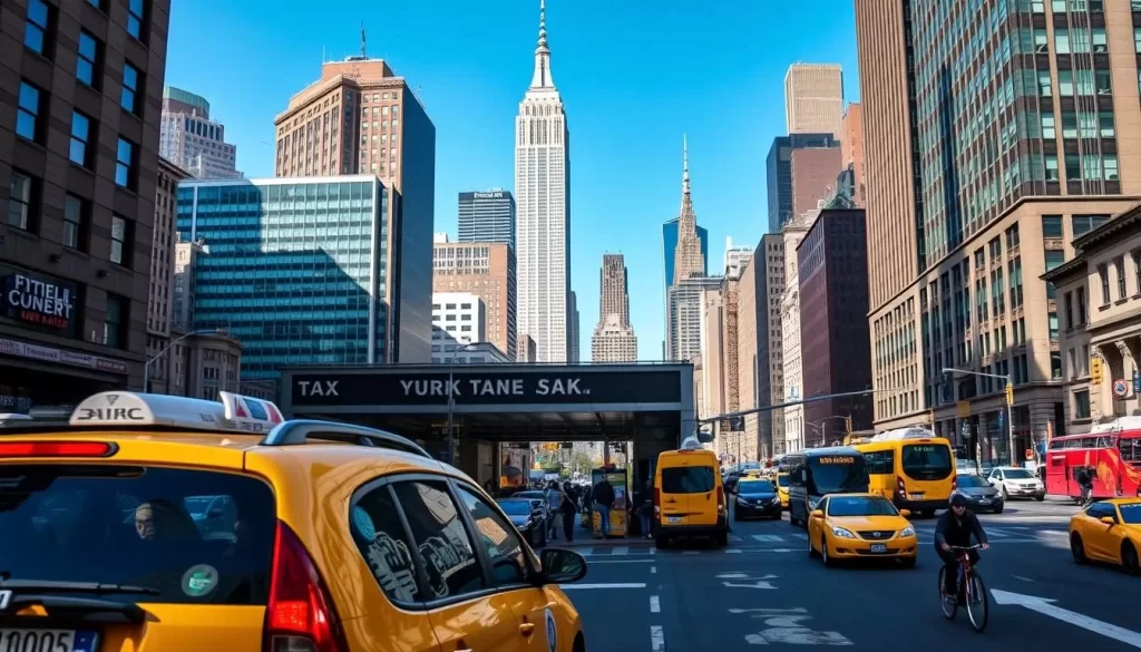
The city’s high rate of transit use saved 1.8 billion US gallons of oil in 2006 and $4.6 billion in gasoline costs. This reduction in oil consumption meant 11.8 million metric tons of carbon dioxide was kept out of the air, contributing to a cleaner environment.
By choosing public transportation in NYC, you’re supporting sustainability efforts and helping maintain the city’s low per-capita transportation-related carbon footprint.
Conclusion
As you conclude your journey through the world of NYC’s public transportation, you’ll find that it’s an integral part of the city’s identity. New York City’s vast network, including the subway and bus systems, ensures that you can get anywhere, anytime.
The city’s public transportation system is more than just a means of getting from point A to point B; it’s a reflection of the city’s culture and energy. With 472 subway stations and extensive bus routes covering all five boroughs, you’re equipped to navigate New York City like a local.
Having explored the various aspects of NYC’s public transportation, from payment options like MetroCards and OMNY to the various transportation modes, you’re now well-prepared to choose the best option for your needs. Whether you’re commuting during rush hour or taking a day trip to nearby destinations, the transportation system in New York is designed to serve you.
The city’s commitment to accessibility, with features like accessible subway stations and buses, ensures that everyone can experience the city’s vibrancy. As you move around the city, you’ll notice how the public transportation network contributes to its energy efficiency and global identity.
In conclusion, New York City’s public transportation is a remarkable system that makes this city a place where you can be at any hour, thanks to its 24/7 subway and other services. The party keeps going in NYC, and with this knowledge, you’re ready to join it.
The above is subject to change.
Check back often to TRAVEL.COM for the latest travel tips and deals.
Here are some Tours & Sightseeing suggestions that might pique your interests!
