
Cuivre Island Conservation Area
0
Location
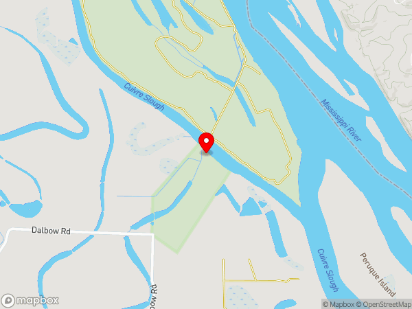
Dalbow Rd
County or District
Lincoln, Saint Charles County
Island
Cuivre
Located At
Cuivre Island Conservation Area
State or Province
Missouri
Country
United States
Do you have a question or just want to share information with other users regarding this location? Visit this area's Users Group.
For places to visit in this area, check out the following categories:
+ Map this area using Google
+ Geolocate = Towns currently around me
+ Submit a new local listing
+ To report an update to this Listing, please click on the "Send Inquiry" button above.
| RADIUS SEARCH: | MI. | KM. | |
|---|---|---|---|
| ✔ | What's Nearby | 45 | 72 |
| ✔ | Places to Eat / Drink | 45 | 72 |
| + Wineries, Breweries, Pubs | 45 | 72 | |
| ✔ | Places to Stay | 45 | 72 |
| + Campgrounds & RV Parks | 45 | 72 | |
| ✔ | Outdoors | 45 | 72 |
| + Parks, Trails, Beaches | 45 | 72 | |
| ✔ | Golf | 45 | 72 |
| ✔ | Entertainment | 45 | 72 |
| ✔ | Museums & Galleries | 45 | 72 |
| ✔ | Religious Sites | 45 | 72 |
| ✔ | Health | 60 | 96 |
| ✔ | Getting Around | 60 | 96 |
| ✔ | Airports | 60 | 96 |
| ✔ | Cities, Towns, Villages | 60 | 96 |
+ Map this area using Google
+ Geolocate = Towns currently around me
+ Submit a new local listing
+ To report an update to this Listing, please click on the "Send Inquiry" button above.
Cuivre Island Conservation Area is a park or nature preserve located in Missouri (United States).
Map
User reviews
Mississippi River access near O'Fallon, Missouri
(Updated: October 25, 2021)
Rating
3.5
First off, I had difficulty locating the access to Cuivre Island Conservation Area as Google Navigation tried to get me there via the town of Old Monroe along the Cuivre River. That route along the river ends at a gate on private property.
The correct way is to use Dalbow Road which is south of Old Monroe. Dalbow Road is well-paved and runs to a macadam road at the entrance to the conservation area. That rock road is wide and in very good condition for a macadam road during our visit. That road ends in an area where there is a non-paved access ramp to the river. As the Mississippi River channel is on the other side of Cuivre Island, the river waters run much slower here. It looks like a decent place for canoe or kayak access.
We saw a sign indicating the park area is open until 10 PM. The area is primitive without any toilet facilities. I didn't even see any trash containers although we did see some people using an open fire.
I believe that this is one of the closest Mississippi River access points to I-70 around not far from St. Peters, Missouri.

{{#ratings}}
{{title}}
{{#ownerCreatedBlock}}
{{/ownerCreatedBlock}}
{{#category}}
{{#editor}}
{{/editor}}
{{#user}}
{{/user}}
{{/ratings}}
-
{{#owner}}
-
{{#url}}
{{#avatarSrc}}
{{name}} {{/url}} {{^url}} {{#avatar}} {{& avatar}} {{/avatar}} {{name}} {{/url}} - {{/owner}} {{#created}}
- {{created}} {{/created}}
Category: {{category.title}}
{{/category}}
{{#fields}}
{{#showLabel}}
{{/fields}}
{{label}}:
{{/showLabel}}
{{& text}}