
Hotels by Trip.com
Flights by Trip.com
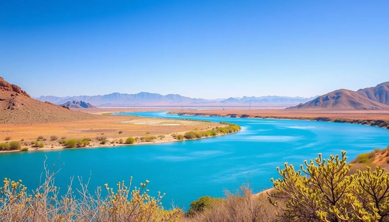
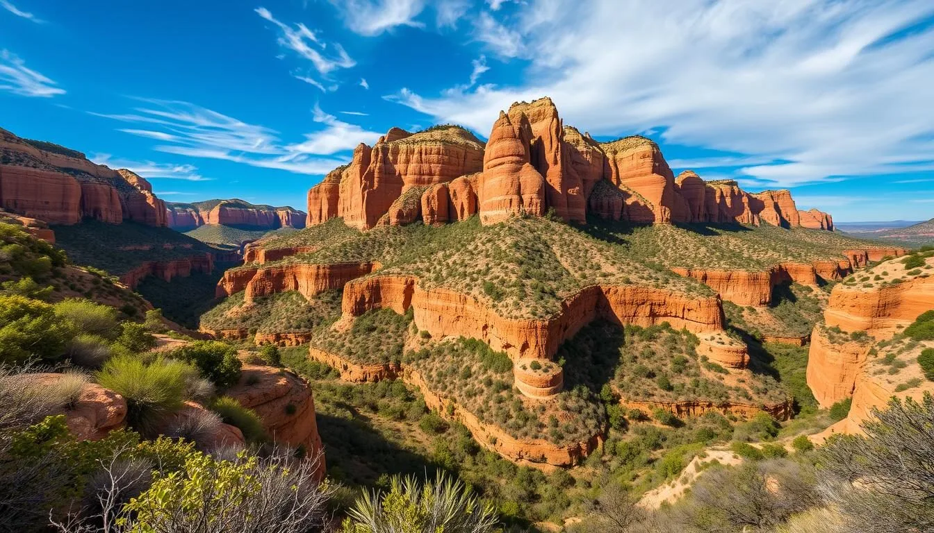
Hidden in the southeastern corner of Arizona lies one of the state’s best-kept secrets: the Galiuro Mountains, a pristine wilderness that once boasted over 100 miles of legacy trails. This remote “sky island” range rises dramatically from the desert floor, creating a biological wonderland where you can hike from cactus-studded foothills to pine-covered peaks in a single day. Despite being just 120 miles from Tucson, the Galiuros receive fewer than 2,000 visitors annually, making them one of the least-visited wilderness areas in the Southwest.
Getting There & Planning Your Journey
The Galiuro Mountains are located in southeastern Arizona, approximately 120 km (75 miles) northeast of Tucson. Their remote location is part of their charm but requires some planning before your visit.
Closest Airports
Tucson International Airport (TUS) is the closest major airport, about 160 km (100 miles) southwest of the Galiuro Mountains. Phoenix Sky Harbor International Airport (PHX) is approximately 240 km (150 miles) to the northwest and offers more flight options.
Access Points
There are two primary access points to the Galiuro Wilderness:
- Deer Creek Trailhead: Located on the eastern side, this is the most accessible entry point with a maintained dirt road suitable for most vehicles.
- High Creek Trailhead: On the western side, this requires following Forest Service roads and is better suited for high-clearance vehicles.
Note that the Powers Hill/Rattlesnake Mesa Road access from the north has been closed by private landowners in recent years, though it still appears on some maps.

The drive from Tucson takes approximately 2 hours and 15 minutes. The final stretch involves dirt roads, so check weather conditions before departing, as these roads can become impassable after heavy rain.
Best Time to Visit & Weather Tips
The Galiuro Mountains experience distinct seasonal changes due to their elevation range of 1,100 to 2,300 m (3,600 to 7,500 feet).
Recommended Seasons
- Spring (March-May): Ideal for hiking with moderate temperatures, flowing creeks, and wildflowers. Daytime temperatures range from 18-26°C (65-80°F).
- Fall (October-November): Another excellent time with stable weather, changing foliage, and comfortable hiking conditions. Expect 15-23°C (60-75°F) during the day.
Seasons to Avoid
- Summer (June-September): Lower elevations can exceed 38°C (100°F), though higher elevations remain cooler. Monsoon season (July-August) brings afternoon thunderstorms and flash flood risks.
- Winter (December-February): Higher elevations may receive snow, and nighttime temperatures can drop below freezing. Some trails become difficult to navigate.

Weather in the Galiuros can change rapidly due to elevation. Pack layers regardless of season, and always bring more water than you think you’ll need—at least 3-4 liters per person per day, as water sources are limited and unreliable.
Getting Around Locally
Once you arrive at the Galiuro Mountains, your own two feet will be your primary mode of transportation. The wilderness designation means no motorized or mechanized vehicles are permitted within the boundaries.
Transportation Options
- Hiking: The only way to explore the interior of the wilderness. Trails vary from moderate to difficult, with some becoming faint or disappearing entirely due to lack of maintenance.
- Horseback: Horses are permitted on trails, though the rugged terrain and limited water sources make this challenging for all but experienced riders.
A high-clearance 4WD vehicle is recommended for reaching the trailheads, especially after rain or during winter months. Consider downloading offline maps before your trip, as cell service is nonexistent throughout most of the area.

Where to Stay
The Galiuro Mountains offer a true wilderness experience, which means accommodations are limited to camping. There are no developed campgrounds, lodges, or cabins within the wilderness area.
Camping Options
- Backcountry Camping: Permitted throughout the wilderness. Popular camping areas include Powers Garden, Rattlesnake Creek, and Holdout Spring, where reliable water sources can be found.
- Dispersed Camping: Available at the Deer Creek administrative site just outside the wilderness boundary. No facilities are provided.
Nearby Accommodations
If you prefer a roof over your head, consider these options:
- Willcox: The closest town with motels and hotels, about 60 km (37 miles) from the eastern trailhead.
- Tucson: Offers the full range of accommodations from budget to luxury, approximately 120 km (75 miles) away.
- Portal: Small community near the Chiricahua Mountains with limited lodging options, about 100 km (62 miles) southeast.

Remember that there are no services within the wilderness area, so come fully prepared with all necessary camping equipment, food, and water filtration systems.
✓ Check 30,000+ Local Sightseeing Tours Worldwide
Dining & Local Cuisine
The Galiuro Mountains are a true wilderness experience, which means there are no dining establishments within the wilderness area or at the trailheads. All food must be packed in and waste packed out.
Self-Catering
For multi-day trips, plan your meals carefully:
- Lightweight, high-calorie dehydrated meals are ideal for backpacking
- Energy bars, nuts, and dried fruits make excellent trail snacks
- Water purification tablets or filters are essential, as natural water sources should be treated
Nearby Dining Options
Stock up on supplies and enjoy a meal before or after your wilderness adventure:
- Willcox: The closest town offers several family restaurants, cafes, and grocery stores.
- Tucson: Known for its outstanding Sonoran Mexican cuisine, featuring local specialties like carne seca, Sonoran hot dogs, and mesquite-grilled steaks.

The Sonoita-Elgin wine country is about 100 km (62 miles) southwest of the Galiuros and offers wine tasting and farm-to-table dining experiences that showcase southern Arizona’s emerging culinary scene.
Attractions, Sightseeing & Activities
The Galiuro Mountains offer pristine wilderness experiences focused on natural beauty and historical sites. Here are the top attractions and activities:
Hiking Trails
- East Divide Trail to Bassett Peak: A challenging 17.2 km (10.7 mile) route to the highest peak in the range at 2,282 m (7,486 feet), offering panoramic views of surrounding sky islands.
- Rattlesnake Canyon Trail: A moderate 8 km (5 mile) hike following a creek through pine forests and past historical mining sites.
- Redfield Canyon Cliff House Trail: An easier 4.5 km (2.8 mile) route suitable for day hikers, leading to ancient cliff dwellings.
Historical Sites
- Powers Garden: A historic homestead with remnants of fruit trees, pastures, and buildings from early settlers.
- Powers Mine: Abandoned mining equipment and structures from the early 1900s when the area produced silver, lead, and copper.
- Holdout Spring: A natural spring with a historic rock-lined box built by early ranchers.

Wildlife viewing opportunities abound with over 200 bird species, black bears, mountain lions, coatimundis, and white-tailed deer inhabiting these mountains. Bring binoculars and a camera with a zoom lens for the best wildlife photography opportunities.
Museums, Cultural Spots & Festivals
While the Galiuro Mountains themselves are a wilderness area without cultural facilities, the surrounding region offers several opportunities to learn about the area’s rich history and culture.
Nearby Museums
- Willcox Historical Society Museum: Located in Willcox, this small museum houses artifacts and exhibits related to the mining and ranching history of the region, including information about the Galiuro Mountains.
- Amerind Museum: About 50 km (31 miles) from the Galiuros, this museum showcases Native American cultures of the Southwest, including those who once inhabited the mountain ranges of southeastern Arizona.
Cultural History
The Galiuro Mountains have a fascinating cultural history:
- The area was home to Apache groups before European settlement
- Mining operations began after the 1854 Gadsden Purchase
- The infamous Power shootout of 1918 occurred at Powers Cabin, when lawmen attempted to arrest the Power brothers for draft evasion during World War I

The Galiuro Mountains were designated as a Primitive Area in 1932 and became one of the original wilderness areas protected under the Wilderness Act of 1964, highlighting their cultural and ecological significance.
Sports, Nature & Outdoor Experiences
The Galiuro Mountains offer exceptional outdoor experiences for those seeking solitude and pristine wilderness. Here are the top outdoor activities to enjoy:
Hiking & Backpacking
The primary activity in the Galiuros, with options for all experience levels:
- Day Hikes: Shorter options include the 4.5 km (2.8 mile) Redfield Canyon Cliff House trail and portions of the Rattlesnake Canyon trail.
- Multi-Day Loops: The classic Galiuro loop combines the East Divide Trail, Rattlesnake Canyon, and High Creek trails for a 25-30 km (15-19 mile) circuit requiring 2-3 days.
- Peak Bagging: Bassett Peak (2,282 m/7,486 ft) and Kennedy Peak (2,222 m/7,290 ft) offer challenging climbs with rewarding panoramic views.
Wildlife Viewing
The Galiuro Mountains host diverse wildlife due to their “sky island” ecology:
- Over 200 bird species, including Mexican spotted owls and peregrine falcons
- Large mammals like black bears, mountain lions, and white-tailed deer
- Unique species such as coatimundi and ringtail cats

Photography
The varied landscapes offer exceptional photography opportunities:
- Dramatic canyon vistas and rock formations
- Old-growth ponderosa pine and Arizona cypress groves
- Historic mining structures and homesteads
- Seasonal waterfalls after spring rains
Remember that the Galiuro Wilderness is managed under Leave No Trace principles. Pack out all trash, stay on established trails when possible, and minimize your impact on this fragile ecosystem.
Safety, Etiquette & Local Customs
The remote nature of the Galiuro Mountains requires thorough preparation and awareness of safety considerations.
Wilderness Safety
- Water: Bring at least 3-4 liters per person per day. Natural water sources are limited and may be dry depending on the season. Always filter or treat natural water.
- Navigation: Trail conditions have deteriorated significantly since the 2014 Oak Fire. Many trails are overgrown, washed out, or difficult to follow. Bring detailed maps, compass, and GPS with pre-loaded tracks.
- Communication: There is no cell service in the wilderness. Consider carrying a satellite communicator for emergencies.
- Wildlife: Store food properly to avoid attracting bears. Be aware of rattlesnakes, especially in warmer months.

Wilderness Etiquette
- Leave No Trace: Pack out all trash, bury human waste at least 15 cm (6 inches) deep and 60 m (200 feet) from water sources.
- Fire Restrictions: Check current fire restrictions before your trip. When permitted, use established fire rings and fully extinguish all fires.
- Cultural Sites: Respect historical structures and archaeological sites. Do not remove artifacts or disturb these areas.
- Group Size: Keep groups small (under 10 people) to minimize impact and preserve the wilderness experience for others.
Before heading into the backcountry, inform someone of your itinerary and expected return date. The nearest emergency services are in Willcox or Tucson, potentially hours away from the wilderness area.
Visitor Comments About Galiuro Mountains
“The Galiuro Mountains offered the solitude and pristine wilderness I’ve been searching for. We hiked to Bassett Peak and had the entire mountain to ourselves. The trail was challenging to follow in places, but the views from the top were worth every step. Bring plenty of water and a good map—this isn’t your typical national park experience.”
“As an international visitor, I found the Galiuro Mountains to be the authentic American wilderness experience I was hoping for. The historical mining sites and Powers Garden were fascinating glimpses into frontier life. The trails require good navigation skills, but the reward is experiencing a mountain range few tourists ever see.”
“Being from Arizona, I’ve hiked many of our mountain ranges, but the Galiuros remain special. The post-fire recovery is ongoing, and some trails are challenging to follow, but the wildlife viewing is exceptional. We saw coatimundi, deer, and countless birds. The night skies are among the darkest you’ll find anywhere in the Southwest.”
Practical Travel Tips
Make your visit to the Galiuro Mountains smoother with these essential tips:
Before You Go
- Maps: The Coronado National Forest map shows the Galiuro Wilderness, but for detailed navigation, use USGS topographic maps or download GPS tracks from recent hikers.
- Permits: No permits are required for hiking or camping in the Galiuro Wilderness, but check with the Coronado National Forest for current regulations.
- Vehicle Preparation: Ensure your vehicle is suitable for rough dirt roads. Bring a spare tire and emergency supplies.
What to Pack
- Water: At least 3-4 liters per person per day, plus water filtration system
- Navigation: Detailed maps, compass, GPS with spare batteries
- Protection: Sun protection, insect repellent, first aid kit
- Clothing: Layers for temperature changes, sturdy hiking boots, hat
- Emergency: Whistle, emergency blanket, fire starter, satellite communicator

Local Contacts
- Coronado National Forest, Safford Ranger District: The managing agency for the Galiuro Wilderness, can provide current conditions and regulations.
- Wild Arizona: A non-profit organization that occasionally conducts trail maintenance in the area and may have recent trail condition reports.
The Galiuro Mountains represent one of Arizona’s last truly wild places. With proper preparation, you can experience a wilderness adventure that few modern travelers ever encounter.
Embrace the Untamed Wilderness
The Galiuro Mountains stand as a testament to Arizona’s wild heritage—a place where adventurous spirits can still find solitude among towering pines and rugged canyons. While the challenges of deteriorating trails and remote access might deter some, those who make the journey discover a wilderness experience increasingly rare in our connected world.
From the historic remnants of frontier life at Powers Garden to the breathtaking vistas from Bassett Peak, the Galiuros reward visitors with authentic experiences that can’t be found in more developed destinations. As you plan your journey to this hidden gem of the Southwest, remember that it’s the very remoteness and wildness that make these mountains special.
Pack your map, fill your water bottles, and step into a landscape where time seems to move more slowly and the connection to nature feels more profound. The Galiuro Mountains await your discovery.
Related Posts

Patagonia-Sonoita Creek Preserve, Arizona: Best Things to Do – Top Picks
Yuma Territorial Prison State Historic Park, Arizona: Best Things to Do – Top Picks
Windsor Beach (Lake Havasu State Park), Arizona: Best Things to Do – Top Picks

White Pocket, Arizona: Best Things to Do – Top Picks

White Mountains, Arizona: Best Things to Do – Top Picks
Walnut Canyon National Monument, Arizona: Best Things to Do – Top Picks
Coming Soon: Clickable Maps