
Hotels by Trip.com
Flights by Trip.com
Did you know the Santa Rita Mountains are home to more than 230 species of birds, making it one of the premier bird-watching destinations in North America? Rising majestically to 9,453 feet (2,881 m) at Mount Wrightson, these stunning peaks transition from cactus-dotted desert to cool pine forests, offering visitors a remarkable diversity of ecosystems to explore in a single day’s adventure.
Getting There & Planning Your Journey
The Santa Rita Mountains are located approximately 40 km (25 miles) southeast of Tucson, Arizona. The mountain range is part of the Coronado National Forest and is easily accessible by car from major cities in the region.

Closest Airports:
- Tucson International Airport (TUS) – 48 km (30 miles)
- Phoenix Sky Harbor International Airport (PHX) – 217 km (135 miles)
From Tucson, take Interstate 10 east to Exit 281, then follow Highway 83 south. For access to Madera Canyon, one of the most popular destinations in the Santa Ritas, take Interstate 19 south to Continental Road (Exit 63) and follow the signs east.
Best Time to Visit & Weather Tips
The Santa Rita Mountains experience dramatic seasonal changes due to their elevation range, offering different experiences throughout the year.
| Season | Temperature | Conditions | Recommendation |
| Spring (March-May) | 10-26°C (50-80°F) | Mild, wildflowers blooming | Highly Recommended |
| Summer (June-August) | 18-35°C (65-95°F) | Hot in lower elevations, afternoon thunderstorms | Early morning activities only |
| Fall (September-November) | 7-24°C (45-75°F) | Mild, fall colors at higher elevations | Highly Recommended |
| Winter (December-February) | -1-18°C (30-65°F) | Cool, occasional snow at higher elevations | Good for lower elevations |

The best months to visit the Santa Rita Mountains are April-May and September-October when temperatures are mild and precipitation is minimal. Summer months (June-August) can be extremely hot at lower elevations, though the higher elevations remain pleasant. During summer, plan hikes early in the morning and be aware of afternoon thunderstorms that typically develop in July and August.
Weather Tip: Mountain weather can change rapidly. Always check the forecast before heading out and pack layers regardless of the season. At higher elevations, temperatures can be 5-10°C (10-20°F) cooler than in Tucson.
Getting Around Locally
The Santa Rita Mountains are best explored by car, as public transportation options are limited in this rural area. Most attractions and trailheads require driving on forest roads that range from well-maintained to rough and unpaved.
Vehicle Recommendations:
- High-clearance vehicles are recommended for accessing more remote areas
- 4WD is necessary for Bull Springs Road and Gardner Canyon
- Standard vehicles can access Madera Canyon and most developed recreation areas
Navigation Tips:
- Cell service is spotty throughout the mountains
- Download offline maps before your trip
- Consider purchasing a Coronado National Forest map
- Bring a physical map as backup

For those without suitable vehicles, guided tours are available from operators in Tucson and Green Valley. These tours typically include transportation, expert guides, and sometimes meals, making them a convenient option for first-time visitors.
Where to Stay
The Santa Rita Mountains offer a range of accommodation options from rustic cabins to developed campgrounds. Staying overnight allows you to experience the mountains’ changing moods from dawn to dusk.
Lodging
- Santa Rita Lodge – 14 cabin-style rooms in Madera Canyon with bird feeders and canyon views
- Chuparosa Inn B&B – Intimate bed and breakfast with excellent bird watching opportunities
- Hotels in Green Valley – More conventional accommodations about 20 minutes from Madera Canyon
Camping
- Bog Springs Campground – Developed sites under oak trees with drinking water and toilets
- Madera Canyon Picnic Area – Day-use only, but perfect for extended visits
- Kentucky Camp – Historic site with a rustic cabin available for reservation
Nearby Towns
- Green Valley – Closest town with full services, 20 minutes from Madera Canyon
- Patagonia – Charming small town near the southern end of the range
- Tucson – Largest nearby city with all amenities, about 45 minutes north

Reservation Tip: Campgrounds and lodging in Madera Canyon fill up quickly during peak bird migration seasons (April-May and August-September). Make reservations well in advance if planning to visit during these periods.
✓ Check 30,000+ Local Sightseeing Tours Worldwide
Dining & Local Cuisine
Dining options within the Santa Rita Mountains are limited, so planning ahead is essential. Most visitors bring picnic supplies or dine in nearby communities.

Within the Mountains:
- Picnic Areas – Madera Canyon has several developed picnic areas with tables and grills
- Santa Rita Lodge – Small gift shop with limited snacks and beverages
Nearby Options:
- Green Valley (20 minutes) – Several restaurants, cafes, and grocery stores
- Patagonia (30 minutes) – Charming cafes and the Wagon Wheel Saloon
- Sonoita (40 minutes) – Wine country dining at The Café and Harvest Restaurant
Local Specialties:
- Sonoran hot dogs – Bacon-wrapped hot dogs with Mexican toppings
- Prickly pear products – Jellies, candies, and syrups made from local cactus fruit
- Mesquite flour baked goods – Unique flavor from native mesquite pods
- Local wines from nearby Sonoita-Elgin wine region
For the best experience, pack a cooler with supplies for breakfast and lunch, then explore dining options in nearby towns for dinner. Green Valley has the most convenient options, including grocery stores where you can stock up on supplies.
Attractions, Sightseeing & Activities
The Santa Rita Mountains offer a diverse range of attractions and activities for outdoor enthusiasts, nature lovers, and history buffs alike.

Top Attractions:
Madera Canyon
A world-renowned bird watching destination with excellent hiking trails, picnic areas, and interpretive exhibits. The canyon’s diverse habitats support over 230 bird species, including 15 hummingbird species and the elegant trogon.
Mount Wrightson
At 9,453 feet (2,881 m), it’s the highest peak in the Tucson area, offering spectacular 360-degree views. The challenging hike to the summit via Old Baldy Trail is considered one of Arizona’s premier mountain hikes.
Kentucky Camp
A historic mining camp from 1904 that now serves as an interpretive site. Several adobe buildings have been preserved, offering a glimpse into the area’s mining history.
Elephant Head
A distinctive rock formation that resembles an elephant’s head, popular with rock climbers and photographers. The area around Elephant Head offers scenic trails for hiking and mountain biking.
Popular Activities:
- Hiking – Over 20 trails ranging from easy nature walks to challenging summit climbs
- Bird Watching – One of the top birding destinations in North America
- Photography – Dramatic landscapes, diverse wildlife, and stunning sunsets
- Stargazing – Minimal light pollution offers excellent night sky viewing
- Off-Road Driving – Several forest roads provide access to remote areas
Museums, Cultural Spots & Festivals
While the Santa Rita Mountains are primarily known for natural attractions, the area has a rich cultural history worth exploring.

Historic Sites:
- Kentucky Camp – Former headquarters of the Santa Rita Water & Mining Company, now preserved as a historic site with interpretive displays
- Alto Ruins – Remnants of an early mining camp including adobe walls of what was once a post office
- Old Baldy Civilian Conservation Corps Camp – Historic site where CCC workers were based while building trails in the 1930s
Nearby Cultural Attractions:
- Tubac Presidio State Historic Park – Arizona’s first state park, preserving the ruins of a Spanish presidio
- Mission San Xavier del Bac – Historic Spanish mission known as “White Dove of the Desert”
- Tumacácori National Historical Park – Preserves the ruins of three Spanish mission communities
- Fred Lawrence Whipple Observatory – Astronomical observatory on Mt. Hopkins offering tours
Annual Events:
- Madera Canyon Bird Count (May) – Citizen science event for birding enthusiasts
- Santa Cruz County Fair (September) – Traditional county fair in nearby Sonoita
- Patagonia Fall Festival (October) – Arts and crafts festival in nearby Patagonia
Sports, Nature & Outdoor Experiences
The Santa Rita Mountains are a paradise for outdoor enthusiasts, offering diverse recreational opportunities across different ecosystems and elevations.

Hiking Trails:
| Trail Name | Distance | Difficulty | Highlights |
| Old Baldy Trail | 16.1 km (10 miles) round trip | Difficult | Summit of Mt. Wrightson, panoramic views |
| Madera Creek Trail | 4.8 km (3 miles) round trip | Easy | Riparian habitat, bird watching |
| Bog Springs Trail | 4.5 km (2.8 miles) loop | Moderate | Shady canyons, oak groves, spring |
| Kent Spring Trail | 8.8 km (5.5 miles) loop | Moderate | Creek crossing, waterfall, diverse terrain |
| Super Trail | 17.7 km (11 miles) round trip | Difficult | Alternative route to Mt. Wrightson, gentler grade |
Wildlife Viewing:
The Santa Rita Mountains are home to an incredible diversity of wildlife. Visitors might encounter white-tailed deer, javelina, coatimundi, black bear, and even the occasional mountain lion. The area is particularly famous for its bird diversity, with over 230 species recorded in Madera Canyon alone.

Other Outdoor Activities:
- Mountain Biking – Several trails and forest roads are suitable for mountain biking, particularly in the northern section of the range
- Rock Climbing – Elephant Head offers challenging technical climbs for experienced climbers
- Photography – Abundant opportunities for landscape, wildlife, and night sky photography
- Scenic Drives – Forest roads provide access to spectacular viewpoints for those who prefer to explore by vehicle
Safety, Etiquette & Local Customs
Enjoying the Santa Rita Mountains safely requires preparation and respect for the environment and local communities.
Safety First: The Santa Rita Mountains are a remote wilderness area with limited cell service. Always tell someone your plans, carry plenty of water, and be prepared for changing weather conditions.
Safety Tips:
- Water – Carry at least 1 liter (1 quart) per hour of hiking in hot weather
- Sun Protection – Hat, sunscreen, and sunglasses are essential year-round
- Wildlife – Keep a safe distance from all wildlife; never feed animals
- Lightning – During summer monsoons, avoid exposed ridges and summits
- Navigation – Carry a map and compass; don’t rely solely on electronic devices
- First Aid – Bring a basic first aid kit for minor injuries
Etiquette & Conservation:
- Practice Leave No Trace principles – pack out all trash
- Stay on designated trails to prevent erosion and habitat damage
- Keep voices down, especially when wildlife watching
- Respect private property boundaries
- Use established fire rings and follow fire restrictions
- Yield to uphill hikers on trails

Local Customs:
The Santa Rita Mountains are surrounded by communities with strong ranching traditions and Hispanic cultural influences. Respect private ranch lands, close gates behind you, and be courteous when passing through small communities. The area also has significance to local Native American tribes, particularly the Tohono O’odham, so treat all cultural sites with respect.
Visitor Comments About Santa Rita Mountains
“The hike to Mount Wrightson was challenging but absolutely worth it! The 360-degree views from the summit are unmatched anywhere in southern Arizona. We spotted deer, countless birds, and even a coatimundi on our way up. Start early and bring plenty of water!”
“Madera Canyon exceeded all our expectations for bird watching. We saw 37 species in just one morning, including five types of hummingbirds! The Santa Rita Lodge’s feeders were particularly active. Even if you’re not a serious birder, the natural beauty of the canyon makes it worth a visit.”
“We spent three days exploring the Santa Rita Mountains and barely scratched the surface. The diversity of landscapes is amazing – from desert to pine forest in a single day’s hike! Kentucky Camp was a fascinating historical site, and the night skies were incredible for stargazing. Will definitely return to explore more trails.”
Additional Nearby Destinations
The Santa Rita Mountains are surrounded by other remarkable destinations that can easily be combined into a longer southern Arizona adventure.

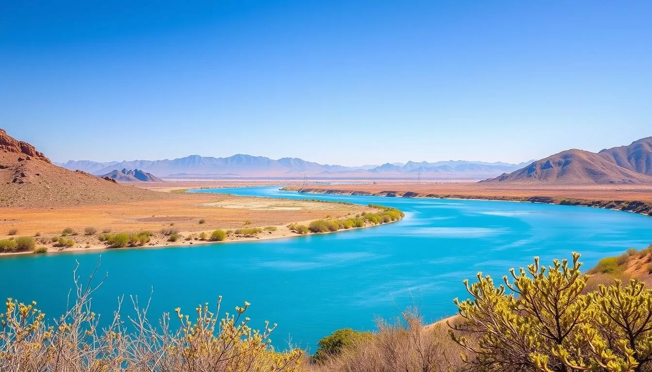
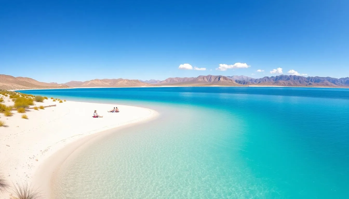
Patagonia Lake State Park
Located just 48 km (30 miles) south of the Santa Ritas, this 105-hectare (260-acre) lake offers fishing, swimming, and camping. The surrounding riparian areas are excellent for bird watching.
Kartchner Caverns State Park
About 64 km (40 miles) east, these spectacular living limestone caves feature stunning formations. Guided tours take visitors through beautifully preserved underground chambers.
Saguaro National Park
Just north of Tucson, this national park protects the iconic saguaro cactus and Sonoran Desert ecosystem. The east and west districts offer scenic drives and hiking trails.
Other Nearby Mountain Ranges:
- Catalina Mountains – North of Tucson, featuring the popular Sky Island Scenic Byway
- Whetstone Mountains – East of the Santa Ritas, less visited but offering solitude and adventure
- Huachuca Mountains – Southeast of the Santa Ritas, known for excellent bird watching in Ramsey Canyon
- Tumacacori Highlands – West of the Santa Ritas, featuring rugged wilderness and the historic Tumacacori Mission
Practical Travel Tips
What to Pack:
- Sturdy hiking boots with good ankle support
- Layered clothing (temperatures can vary widely)
- Rain jacket (especially during monsoon season)
- Sun protection (hat, sunscreen, sunglasses)
- Binoculars for bird watching
- Camera with zoom lens for wildlife
- Detailed trail map of the Santa Rita Mountains
Practical Information:
- Coronado National Forest requires a recreation pass for some areas ($5/day)
- Green Valley has the closest gas stations and grocery stores
- ATMs are available in Green Valley and Patagonia
- Medical facilities are limited; the nearest hospital is in Tucson
- Check for fire restrictions before planning campfires
- Many areas have no cell service; plan accordingly

Money-Saving Tips:
- Purchase an America the Beautiful Pass ($80) if you plan to visit multiple national parks or forests
- Camp rather than staying in lodges or hotels
- Visit during shoulder seasons (spring and fall) for better rates on accommodations
- Pack your own food and drinks rather than dining out
- Join free ranger-led programs instead of paying for guided tours
Your Mountain Adventure Awaits
The Santa Rita Mountains offer a remarkable blend of natural beauty, outdoor adventure, and tranquil solitude just a short drive from Tucson. From the bird-watching paradise of Madera Canyon to the challenging summit of Mount Wrightson, these mountains provide experiences for every type of nature enthusiast. As you plan your visit, remember that the Santa Ritas reward those who take the time to explore their diverse ecosystems and hidden treasures. Whether you come for a day hike or an extended wilderness adventure, the Santa Rita Mountains will leave you with lasting memories and a deeper appreciation for the unique Sky Island ecosystems of southern Arizona.
Related Posts

Patagonia-Sonoita Creek Preserve, Arizona: Best Things to Do – Top Picks
Yuma Territorial Prison State Historic Park, Arizona: Best Things to Do – Top Picks
Windsor Beach (Lake Havasu State Park), Arizona: Best Things to Do – Top Picks

White Pocket, Arizona: Best Things to Do – Top Picks

White Mountains, Arizona: Best Things to Do – Top Picks
Walnut Canyon National Monument, Arizona: Best Things to Do – Top Picks
Coming Soon: Clickable Maps