
Hotels by Trip.com
Flights by Trip.com
Did you know that Mount Davis, Pennsylvania’s highest point at 979 m (3,213 ft), is actually lower in elevation than the lowest point in Colorado? Despite this surprising fact, this hidden gem in Somerset County offers visitors a unique opportunity to stand at the Commonwealth’s highest elevation while enjoying spectacular views of the surrounding Laurel Highlands. From its historic observation tower to fascinating rock formations and scenic hiking trails, Mount Davis delivers an unexpectedly rewarding outdoor experience just waiting to be explored.
Getting There & Planning Your Journey
Mount Davis is located in Somerset County, Pennsylvania, approximately 10 miles west of Meyersdale. The closest major airports are Pittsburgh International Airport (about 100 km or 62 miles northwest) and Harrisburg International Airport (about 200 km or 124 miles east).
For those driving from major cities, Mount Davis is approximately:
- 2 hours southeast of Pittsburgh
- 3 hours southwest of Harrisburg
- 3.5 hours west of Baltimore
- 4 hours west of Philadelphia
The most direct route to Mount Davis is via Mount Davis Road in Forbes State Forest. GPS coordinates for the main parking area are 39.785969, -79.178114. Most navigation apps can direct you to “Mount Davis Observation Tower” or “Mount Davis Highest Point in PA.”
While the roads leading to Mount Davis are well-maintained, they can be winding and narrow in places. During winter months, roads may be snow-covered or icy, so check weather conditions before traveling.
Best Time to Visit & Weather Tips

Mount Davis experiences four distinct seasons, each offering a different perspective on Pennsylvania’s highest point:
Recommended Seasons
- Late Spring (May-June): Comfortable temperatures (15-24°C/59-75°F) and blooming mountain laurel (Pennsylvania’s state flower)
- Summer (June-August): Warmest months (21-27°C/70-80°F) with lush greenery and excellent visibility from the observation tower
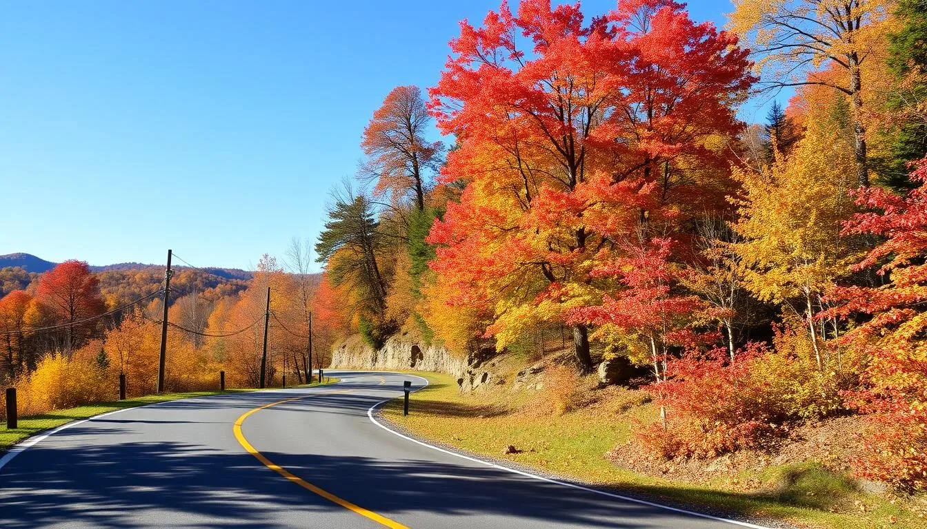
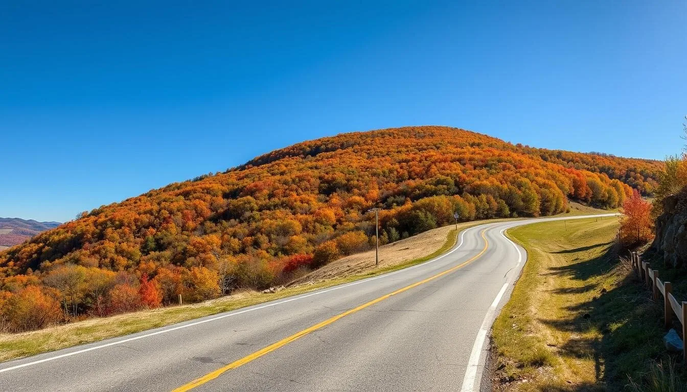
- Fall (September-October): Spectacular foliage with peak colors typically in early-mid October, slightly earlier than surrounding areas due to elevation
Seasons to Avoid
- Winter (December-March): Cold temperatures (-7 to 4°C/20-40°F), potential snow accumulation, and limited accessibility
- Early Spring (March-April): Muddy conditions from snowmelt and spring rains can make trails difficult to navigate
For the best experience, visit on weekdays if possible, as weekends can be busier, especially during peak fall foliage season. Early mornings often provide the clearest views and the chance to see fog lifting from the valleys below.
Getting Around Locally

Mount Davis and the surrounding Forbes State Forest are best explored by car and on foot. The main attractions are accessible via Mount Davis Road and South Wolf Rock Road, with several small parking areas available at key points of interest.
Most visitors drive between the main attractions and then explore each area on foot via short trails. The distance between parking areas is relatively short, but the winding forest roads make walking between them impractical.
The area has several well-marked hiking trails ranging from easy to moderate difficulty:
- High Point Trail: A 1.6 km (1 mile) loop trail that connects the observation tower to Baughman Rocks
- Mount Davis Trail: A 2.4 km (1.5 mile) out-and-back trail with moderate elevation gain
- Shelter Rock Trail: A 3.2 km (2 mile) loop with interesting rock formations
Trail maps are available at the information kiosk near the main parking area. Most trails are well-maintained but can be rocky in places, so sturdy footwear is recommended.
Where to Stay

While there are no accommodations directly on Mount Davis, several lodging options are available within a 30-minute drive:
Hotels & Motels
- Holiday Inn Express (Somerset): Modern rooms, complimentary breakfast, and indoor pool
- Hampton Inn (Somerset): Comfortable accommodations near the PA Turnpike
- Comfort Inn (Somerset): Budget-friendly option with basic amenities
Bed & Breakfasts
- Quill Haven Country Inn: Charming B&B in Somerset with homemade breakfast
- Levi Deal Mansion: Historic Victorian B&B in Meyersdale
- Yoder’s Guest House: Amish-country hospitality in Meyersdale
Cabins & Camping
- Laurel Hill State Park: Cabins and campground with amenities
- Kooser State Park: Rustic cabins in a peaceful forest setting
- New Centerville Campground: RV and tent sites with basic facilities
For the best experience, book accommodations well in advance, especially during peak fall foliage season (September-October) when availability can be limited.
✓ Check 30,000+ Local Sightseeing Tours Worldwide
Dining & Local Cuisine

There are no dining facilities on Mount Davis itself, so plan to bring a picnic lunch or explore these dining options in nearby towns:
Somerset (20-25 minutes north)
- Summit Diner: Classic American diner serving hearty breakfasts and lunches
- Pine Grill Restaurant: Family-style dining with Pennsylvania Dutch influences
- Bella’s Pizzeria: Local favorite for pizza and Italian dishes
Meyersdale (15-20 minutes east)
- GI Dayroom Coffee House: Cozy café with sandwiches and baked goods
- Take Six Pizza: Casual spot for pizza and subs
The region is known for Pennsylvania Dutch cuisine, which features hearty, farm-to-table dishes. Local specialties to try include:
- Chicken pot pie (more like a thick stew with square noodles)
- Schnitz un knepp (dried apples, ham, and dumplings)
- Shoofly pie (molasses pie with crumb topping)
- Apple butter and maple syrup (local Somerset County products)
If you plan to picnic on Mount Davis, there are several picnic tables near the main parking area and observation tower.
Attractions, Sightseeing & Activities
Mount Davis offers several must-see attractions that showcase Pennsylvania’s highest point:
1. Mount Davis Observation Tower
The iconic 50-foot metal observation tower provides spectacular 360-degree views of the Laurel Highlands. Climb the sturdy stairs to the top platform where you’ll find a raised relief map helping you identify landmarks in the surrounding landscape. On clear days, visibility can extend for miles across three states.
2. High Point Lake Overlook
Located about 0.5 km (0.3 miles) south of the observation tower along South Wolf Rock Road, this wheelchair-accessible viewing platform offers stunning views of High Point Lake. The deck includes picnic tables, making it a perfect spot for a scenic lunch.
3. Baughman Rocks
These fascinating rock formations have an intriguing and somewhat macabre history involving a murder. Located just off Mount Davis Road (coordinates: 39.79422, -79.17189), a short 50-yard trail leads to an observation deck overlooking the massive boulders with deep crevices between them.
4. Camp Buckey Overlook
Perhaps the most spectacular vista on Mount Davis, this overlook requires a 1.6 km (1 mile) drive down Camp Buckey Road followed by a 200-meter (220-yard) hike. The reward is a breathtaking view of massive rock formations and Deer Valley Lake far below.
Each of these attractions can be visited in a single day, making Mount Davis perfect for a day trip. However, to fully appreciate the area, consider spending at least half a day exploring the various overlooks and hiking some of the trails.
Museums, Cultural Spots & Festivals

While Mount Davis itself is primarily a natural attraction, the surrounding Somerset County offers several cultural experiences worth exploring:
Museums & Historical Sites
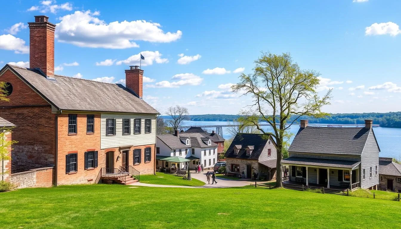
- Somerset Historical Center: Located 25 minutes north of Mount Davis, this museum showcases the rural heritage of Somerset County with historic buildings and exhibits on maple sugar production
- Maple Sugar Camp: Learn about the region’s maple syrup production history
- Flight 93 National Memorial: Located about 45 minutes north, this moving memorial honors the passengers and crew of United Flight 93
Annual Festivals & Events
- Pennsylvania Maple Festival (Meyersdale): Held in late March/early April, celebrating the region’s maple syrup production
- Somerset County Fair: Agricultural fair held in late August featuring livestock exhibitions, tractor pulls, and local food
- Mountain Craft Days: September festival at the Somerset Historical Center showcasing traditional crafts and folk music
For current event schedules and admission information, check with the Somerset County Chamber of Commerce or local visitor centers before your trip.
Sports, Nature & Outdoor Experiences

The Mount Davis area offers numerous outdoor activities for nature enthusiasts:
Hiking
Forbes State Forest contains approximately 10 km (6 miles) of hiking trails around Mount Davis. The trails range from easy to moderate difficulty and showcase the area’s diverse ecosystems. Popular routes include:
- Mount Davis Trail: 2.4 km (1.5 mile) out-and-back trail to the highest point
- Shelter Rock Trail: 3.2 km (2 mile) loop featuring interesting rock formations
- High Point Trail: 1.6 km (1 mile) loop connecting major attractions
Wildlife Viewing
The forests around Mount Davis are home to diverse wildlife, including white-tailed deer, black bears, wild turkeys, and numerous bird species. Early morning and dusk offer the best wildlife viewing opportunities.
Nearby Outdoor Activities
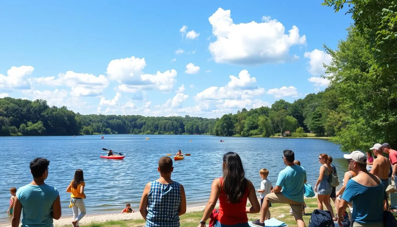
- Fishing: High Point Lake (3.2 km/2 miles from Mount Davis) offers fishing for bass, trout, and panfish
- Great Allegheny Passage: This 241 km (150-mile) rail-trail passes through nearby Meyersdale, offering excellent cycling opportunities
- Laurel Hill State Park: Located 24 km (15 miles) north, featuring a 25-hectare (63-acre) lake with swimming, boating, and fishing
- Ohiopyle State Park: About 40 minutes northwest, offering whitewater rafting, kayaking, and waterfall hikes
For those interested in longer hikes, the 112 km (70-mile) Laurel Highlands Hiking Trail can be accessed from nearby Ohiopyle State Park.
Safety, Etiquette & Local Customs

When visiting Mount Davis, keep these safety tips and etiquette guidelines in mind:
Safety Considerations
- Weather Awareness: Mountain weather can change rapidly; check forecasts before visiting and bring appropriate layers
- Cell Service: Cell phone coverage can be spotty in the area; download maps offline before your trip
- Wildlife Safety: Store food securely and maintain a safe distance from wildlife
- Rock Formation Caution: Exercise extreme caution around Baughman Rocks and Camp Buckey Overlook, as the crevices between rocks can be 9+ meters (30+ feet) deep
- Observation Tower: The tower is sturdy but has waist-high railings; supervise children closely
Outdoor Etiquette
- Leave No Trace: Pack out all trash and leave natural features undisturbed
- Stay on Trails: Help prevent erosion and protect sensitive vegetation
- Quiet Enjoyment: Keep noise levels reasonable to respect wildlife and other visitors
- Campfires: Only permitted in designated areas when fire danger is low
The area is managed by the Pennsylvania Department of Conservation and Natural Resources (DCNR). Follow all posted regulations and check for any temporary closures or restrictions before your visit.
Visitor Comments About Mount Davis
“Mount Davis surprised me with its natural beauty. The observation tower offers incredible views that stretch for miles. We hiked several trails and especially loved the rock formations at Baughman Rocks. Don’t miss Camp Buckey Overlook if you visit – it was the highlight of our trip!”
“We visited during peak fall foliage in October and were absolutely blown away by the colors. The 360-degree views from the observation tower were spectacular. The trails were well-maintained and not too difficult, making it perfect for our family with elementary school-aged kids.”
“As international travelers, we found Mount Davis to be a hidden gem in Pennsylvania. It’s not the tallest mountain by global standards, but the observation tower, fascinating rock formations, and peaceful forest setting made for a memorable day. The historical information about the area added an interesting cultural dimension to our nature experience.”
Practical Travel Tips

What to Bring
- Sturdy hiking shoes or boots
- Weather-appropriate clothing (layers recommended)
- Water bottles and snacks
- Sunscreen and insect repellent (May-September)
- Camera for scenic views
- Binoculars for wildlife viewing
Facilities
- Vault toilets near main parking area
- Picnic tables at several locations
- Information kiosk with maps
- No potable water available on site
- No trash receptacles (pack out what you bring in)
- No visitor center or gift shop
Planning Essentials
- Allow 2-4 hours to explore the area
- No entrance or parking fees
- Dogs allowed on leash
- Download offline maps before arrival
- Fuel up in Somerset or Meyersdale
- Check DCNR website for alerts
Mount Davis is a relatively undeveloped natural area, so come prepared with everything you’ll need for your visit. The nearest gas stations, restaurants, and supplies are in Somerset (25 minutes north) or Meyersdale (20 minutes east).
Embrace the Heights: Your Mount Davis Adventure Awaits
While Mount Davis may not rival the towering peaks of western states, Pennsylvania’s highest point offers a uniquely accessible wilderness experience rich in natural beauty and fascinating geology. From the panoramic vistas atop the observation tower to the mysterious depths of ancient rock formations, this special corner of the Laurel Highlands rewards visitors with memories that stand tall. Whether you’re a dedicated peak-bagger checking off state high points, a family seeking an educational outdoor adventure, or simply a nature lover in search of tranquil forest trails, Mount Davis delivers an experience that rises above expectations. Pack your sense of adventure and discover why sometimes the most rewarding journeys take us not to the highest heights, but to the perfect ones.
Related Posts

York Township, Pennsylvania: Best Things to Do – Top Picks
Yellow Creek State Park, Pennsylvania: Best Things to Do – Top Picks
Worlds End State Park, Pennsylvania: Best Things to Do – Top Picks
Wills Mountain, Pennsylvania: Best Things to Do – Top Picks

Wilkes-Barre, Pennsylvania: Best Things to Do – Top Picks
Washington Crossing Historic Park, Pennsylvania: Best Things to Do – Top Picks
Coming Soon: Clickable Maps