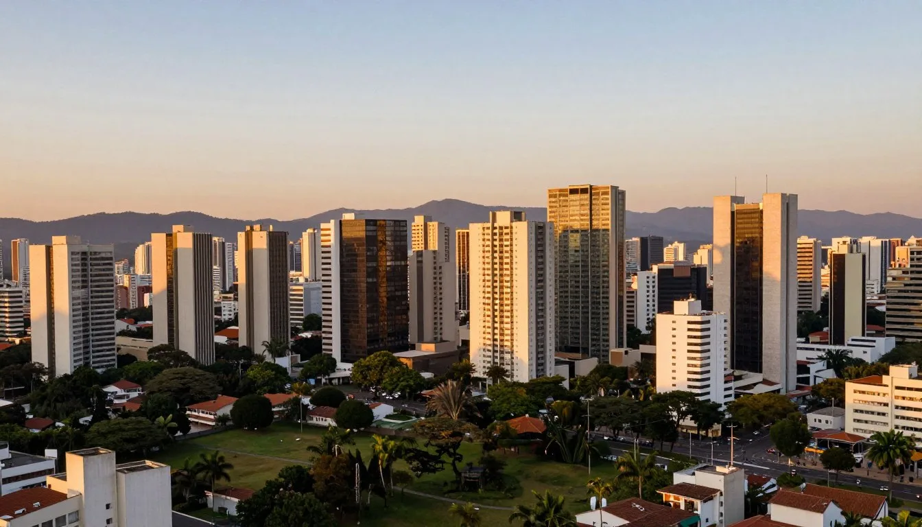
Brasilia, the capital of Brazil, is a marvel, with its unique urban planning and modernist architecture. The city’s design resembles an airplane or a bird when viewed from above. To navigate this city, understanding its transportation options is crucial.
Understanding Brasilia’s Unique Layout
The city’s design is unlike any other, with a layout that resembles an airplane or a bird in flight. Brasilia’s unique Plano Piloto design was completed in just four years, from 1956 to 1960, and has since become a model for urban planning.

The Airplane-Shaped City Design
The city’s design is centered around the Eixo Monumental, or Monumental Axis, which forms the “fuselage” of the airplane. This thoroughfare is lined with government buildings and is the main transportation corridor. The residential zones are located in the arched “wings” of the airplane, with several rows of medium-rise apartment blocks and small commercial districts.
The Plano Piloto design has several benefits, including the separation of different city functions into distinct zones. This makes it easier for visitors to navigate the city and understand its layout.
How City Planning Affects Transportation
Brasilia’s city planning has a significant impact on transportation in the city. The city’s design, with its emphasis on automobiles, has resulted in a comprehensive network of roads. However, this has also led to a reliance on cars, which can make public transportation more challenging.
- The city’s division into functional sectors affects your travel patterns and transportation needs.
- The Monumental Axis serves as the main transportation corridor, making it easy to get around the city center.
- The residential “wings” of the city are connected to the central areas, providing easy access to amenities and services.
Understanding Brasilia’s unique layout is essential for navigating the city effectively. By recognizing the city’s design and how it affects transportation, you can make the most of your visit.
Brasilia’s Bus System: The Backbone of Public Transit
The backbone of Brasilia’s transportation is its comprehensive bus system. As you navigate this unique city, you’ll find that buses are the primary mode of public transportation, connecting residential areas to key attractions and central districts.

Main Bus Routes and Stations
Brasilia’s bus network is designed to serve the city’s distinctive layout. Most local buses start from or pass through the rodoviária, located at the city’s center. They run along the “wings,” serving residential zones, or through the Monumental Axis, linking key areas such as Esplanada dos Ministérios and the airport.
Key bus routes include those that connect the central area to main avenues and important landmarks. Understanding these routes will help you navigate Brasilia efficiently.
Bus Fares and Payment Options
Using Brasilia’s buses is relatively affordable, with single fares ranging from R$3.80 to R$5.50 (as of February 2021). To make your journey smoother, you can opt for a transportation card, which allows for discounted transfers. This card is a convenient option for frequent travelers.
You can pay for your bus fare at the front door, as is the custom in Brasilia, unlike many other Brazilian cities where you might pay upon entering through the rear door.
Tips for Navigating the Zebrinha Buses
The “zebrinha” buses, named for their striped appearance, are an essential part of Brasilia’s public transportation. To use them effectively, remember to flag the bus to stop, as they won’t halt unless a passenger requests to get off or you signal to board.
Plan your route in advance using available apps and resources to ensure a smooth journey. Understanding bus frequency and operating hours will also help you navigate the system with ease.
Exploring Brasilia by Metro

As a relatively new addition to Brasilia’s transportation network, the metro system is worth exploring. It provides a faster alternative to buses in certain areas, making it an efficient way to travel across parts of the city.
Metro Lines and Key Stations
The Metrô subway system in Brasilia features a Y-shaped line that starts at the main bus station, Rodoviária de Brasília, known as the “Central” station. The first stop is at Setor Comercial Sul, or “Galeria” station, which is near some hotels south of the Monumental Axis. The line runs along the south wing, stopping at various blocks, including 102, 108, 112, and 114, before extending into the suburbs. Key stations along this route provide access to different parts of the city, making it easier for you to navigate.
Operating Hours and Ticket Information
The Brasilia metro operates from Monday to Friday between 06:00 and 23:30, although some stations stop selling tickets at 22:30. On Saturdays, Sundays, and holidays, the operating hours are from 07:00 to 19:00. Understanding the ticket system is crucial; you should know the costs and where to purchase tickets. It’s also advisable to have small bills, as not all ticket counters may have change for larger bills.
Connecting Metro with Other Transportation
While the metro system has its limitations, particularly for tourists since it doesn’t reach many major attractions, it can be effectively combined with other transportation methods for efficient city navigation. You can use buses or ride-hailing services to extend your journey beyond the metro’s reach. Planning your route in advance and understanding how to connect different transportation modes will enhance your experience in Brasilia.
Taxi Services and Ride-Hailing Apps
In Brasilia, taxis are a convenient option for getting around, especially when public transportation is not readily available. You can find taxis at designated stands near major attractions and hotels.
Traditional Taxi Services
Taxis in Brasilia are metered, ensuring fair fares. You can hail them at designated stands or request through your hotel.
Using Ride-hailing Services
Services like Uber, 99Taxi, and TeLevo offer a modern alternative. You can request a ride using your smartphone, track your driver’s location, and pay through the app.
Safety and Costs
Always check the driver’s ID and ensure the meter is running. Costs vary depending on traffic, but you can expect to pay between $4-$10 USD for a short trip.
Renting a Car in Brasilia, Brazil: Public Transportation Alternative

With Brasilia’s city design centered around automobile transportation, renting a car can enhance your travel experience. Unlike other Brazilian big cities, traffic in Brasilia is relatively manageable, although rush hours can bring some congestion.
When to Choose Car Rental Over Public Transit
Renting a car is often recommended for visitors to Brasilia, given the city’s layout that prioritizes automobile transportation. Having your own vehicle provides the flexibility to visit attractions that are difficult to reach by public transport. This is particularly useful for exploring areas beyond the main tourist sites.
Navigating Brasilia’s Road System
Brasilia’s road system is characterized by wide avenues and relatively organized traffic. However, the unique addressing system and lack of street signs can make navigation challenging. Understanding the city’s grid-like pattern can help you move around more efficiently. Having a car allows you to take in the city’s futuristic architecture at your own pace.
Parking Options and Regulations
There are public parking lots available at main sites, although finding a spot can sometimes be difficult. Be aware of local parking regulations to avoid fines. Having a car gives you the option to visit various attractions without worrying about transportation limitations.
Cycling Around the Capital

As you explore Brasilia, you’ll find that cycling is a fantastic way to experience the city’s unique design. The city offers a bike-sharing system called Bike Brasília, which has made cycling an increasingly popular transportation option in the city.
Bike Brasília Sharing Program
The Bike Brasília sharing program is designed to make cycling accessible throughout the city. With stations spread across various areas, you can easily pick up and drop off bicycles, making it a convenient public transport alternative. To use the system, you’ll need to register, and then you can access bikes at affordable rates.
Cycling Routes and Safety
Brasilia’s wide avenues and relatively flat terrain make it an ideal city for cycling. You can enjoy scenic routes that connect major attractions, taking in the sights at your own pace. However, it’s essential to be aware of traffic patterns and follow safety guidelines to ensure a smooth ride. Wearing recommended safety gear is also crucial.
Walking in Brasilia: Challenges and Opportunities
Brasilia’s infrastructure, originally planned around automobile use, makes walking a less straightforward option. The city’s design, assuming every resident would own a car, has led to a sprawling layout with significant distances between attractions.

While this presents challenges, there are still opportunities to explore Brasilia on foot, particularly in designated areas.
Pedestrian-Friendly Areas
Certain sectors of Brasilia are more conducive to walking. The cultural sectors and parks are designed to be more pedestrian-friendly, offering pleasant walks and practical access to various attractions. For instance, the Parque da Cidade is a vast urban park that provides a safe and enjoyable walking environment.
Safety Tips for Pedestrians
When walking in Brasilia, it’s crucial to be mindful of the traffic. The city’s roads often lack crosswalks and traffic lights, requiring pedestrians to be cautious. To stay safe, plan your walks during the cooler parts of the day, stay hydrated, and be aware of your surroundings, especially when crossing major avenues. Combining walking with other public transport methods can also enhance your experience of the city.
By understanding the city’s layout and being prepared, you can navigate Brasilia’s challenges and enjoy its unique urban landscape on foot.
Transportation Apps and Digital Tools

To get around Brasilia efficiently, you can rely on a range of transportation apps and online resources. These digital tools are designed to make navigating the city’s transportation system easier and more convenient.
Essential Apps for Navigating Brasilia
Several apps are available to help you navigate Brasilia’s transportation network. Moovit and CittaMobi are popular choices that provide real-time bus and metro schedules, route planning, and service alerts. These apps can be downloaded from the App Store or Google Play and are invaluable tools for getting around Brasilia efficiently.
Other useful apps include Google Maps and Waze for driving directions and traffic updates. Ride-hailing apps like Uber and 99Taxi are also available, making it easy to get around the city.
Online Resources for Transportation Information
In addition to mobile apps, several online resources are available to provide transportation information. You can find transportation maps, fare information, and service updates on the official websites of Brasilia’s transportation providers.
These resources can help you plan your journey and stay informed about any disruptions to the transportation service. By using these digital tools, you can make the most of Brasilia’s transportation network and enjoy a hassle-free trip.
Getting To and From Brasilia’s Main Attractions
You’re now ready to explore the best of Brasilia. To make the most of your visit, let’s look at how to get to the city’s main attractions.
Reaching the Top Attractions
Brasilia is home to many exciting places to visit, including the Three Powers Square, the Cathedral, and the Television Tower. You can reach these places using public transportation or ride-hailing services.
| Attraction | Public Transportation |
|---|---|
| Three Powers Square | Buses 101 or 102 |
| Cathedral | Buses 201 or 202 |
| Television Tower | Buses 301 or 302 |
You can also consider using the metro or taking a taxi to get to these attractions. The key is to plan ahead and choose the best option for your needs.
As you explore Brasilia, you’ll discover many more exciting places to visit. With a little planning, you can make the most of your trip and enjoy all that the city has to offer.
Conclusion: Mastering Transportation in Brazil’s Capital
As you plan your trip to Brasilia, understanding the city’s transportation system is crucial for a smooth and enjoyable experience. You’ll gain a comprehensive understanding of how to navigate Brasilia efficiently using various transportation options, including the bus system, metro, taxi services, and ride-hailing apps.
The city’s unique airplane-shaped design influences its transportation system, and understanding how to work with this design will help you navigate the city with ease. By considering your specific needs, budget, and itinerary, you can create a transportation strategy that suits you best.
Some key takeaways include the reliability and convenience of public transportation options, such as the Zebrinha buses and metro lines, which cover most areas of the city. Additionally, locals typically prefer certain transportation methods for different situations, and being aware of these preferences can help you navigate like a local.
For further planning, you can consult online resources and transportation apps to get the most up-to-date information on navigating Brasilia’s public transportation system and finding the best places to visit in different parts of the city.