
River Scene Trail loop
0
Location
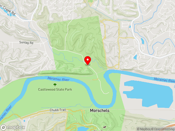
Castlewood State Park, Missouri
County or District
St Louis County
Located At
Castlewood State Park
State or Province
Missouri
Country
United States
Do you have a question or just want to share information with other users regarding this location? Visit this area's Users Group.
For places to visit in this area, check out the following categories:
+ Map this area using Google
+ Geolocate = Towns currently around me
+ Submit a new local listing
+ To report an update to this Listing, please click on the "Send Inquiry" button above.
| RADIUS SEARCH: | MI. | KM. | |
|---|---|---|---|
| ✔ | What's Nearby | 45 | 72 |
| ✔ | Places to Eat / Drink | 45 | 72 |
| + Wineries, Breweries, Pubs | 45 | 72 | |
| ✔ | Places to Stay | 45 | 72 |
| + Campgrounds & RV Parks | 45 | 72 | |
| ✔ | Outdoors | 45 | 72 |
| + Parks, Trails, Beaches | 45 | 72 | |
| ✔ | Golf | 45 | 72 |
| ✔ | Entertainment | 45 | 72 |
| ✔ | Museums & Galleries | 45 | 72 |
| ✔ | Religious Sites | 45 | 72 |
| ✔ | Health | 60 | 96 |
| ✔ | Getting Around | 60 | 96 |
| ✔ | Airports | 60 | 96 |
| ✔ | Cities, Towns, Villages | 60 | 96 |
+ Map this area using Google
+ Geolocate = Towns currently around me
+ Submit a new local listing
+ To report an update to this Listing, please click on the "Send Inquiry" button above.
River Scene Trail loop is a trail or trailhead located in Missouri (United States).
Map
User reviews
Beautiful bluff & Meramec River Views
Rating
4.5
This past Saturday, I hiked the "River Scene Trail" at Castlewood State Park. I've probably been to Castlewood State Park about 10 times but had never ascended this bluff trail. According to the trailhead plaque, the trail is 3 miles long. My gps tracked it as 3.5 miles.
Going up to the top of the bluff is considered a moderate hike. Once on top, you continue going up and down but it is not very difficult. At the other end of the bluff you descend via wood stairs which take you back to the river level as you pass through a small tunnel under the train track. The rest of the way back is totally flat and follows the Meramec River downstream to the River Access area and then back to the trailhead.
This is a beautiful hike with many scenic views and is very popular. I must have passed over 100 people on the trail -- many with dogs and dozens of trail bikers. I even had a problem finding a parking spot at 10 AM. There were signs pointing to "overflow parking" areas and I lucked out on finding a spot.
This is a hike that I would definitely do again either alone or with friends.

{{#ratings}}
{{title}}
{{#ownerCreatedBlock}}
{{/ownerCreatedBlock}}
{{#category}}
{{#editor}}
{{/editor}}
{{#user}}
{{/user}}
{{/ratings}}
-
{{#owner}}
-
{{#url}}
{{#avatarSrc}}
{{name}} {{/url}} {{^url}} {{#avatar}} {{& avatar}} {{/avatar}} {{name}} {{/url}} - {{/owner}} {{#created}}
- {{created}} {{/created}}
Category: {{category.title}}
{{/category}}
{{#fields}}
{{#showLabel}}
{{/fields}}
{{label}}:
{{/showLabel}}
{{& text}}