
Hotels by Trip.com
Flights by Trip.com
Spanning an impressive 210,172 acres of protected public lands, Dominguez-Escalante National Conservation Area harbors over 115 miles of hiking trails and more than 40 documented ancient petroglyph sites—making it one of Colorado’s most archaeologically significant yet least crowded wilderness areas. This hidden gem offers a rare opportunity to experience dramatic red rock canyons, pristine waterways, and diverse ecosystems without the crowds typically found at more famous Colorado destinations.
Getting There & Planning Your Journey
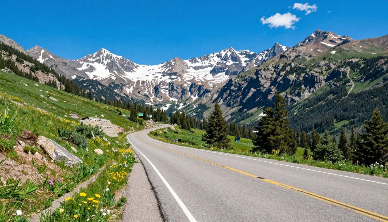
Dominguez-Escalante National Conservation Area (NCA) is located in western Colorado, primarily in Mesa and Delta counties. The area is accessible via several routes, depending on which section you plan to explore.
Nearest Airports
- Grand Junction Regional Airport (GJT) – approximately 45 km (28 miles) from the northern access points
- Montrose Regional Airport (MTJ) – approximately 65 km (40 miles) from the southern access points
- Denver International Airport (DEN) – approximately 400 km (250 miles) away for those planning a broader Colorado trip
Major Access Points
- Bridgeport Trailhead – Primary access to Big Dominguez Canyon, located off Highway 50 near Delta
- Escalante Canyon Road – A 15-mile graded county road offering access to historic cabins and trails
- Cactus Park – Access for mountain biking and OHV recreation
Best Time to Visit & Weather Tips

Recommended Seasons
- Spring (April-May): Pleasant temperatures between 15-26°C (60-80°F), wildflowers in bloom, and moderate crowds make this an ideal time to visit.
- Fall (September-October): Similar to spring with comfortable temperatures and beautiful changing colors in the higher elevations.
- Summer Evenings: If visiting in summer, plan activities for early morning or evening when temperatures are cooler.
Seasons to Avoid
- Summer Midday (June-August): Daytime temperatures regularly exceed 35°C (95°F), making hiking uncomfortable and potentially dangerous.
- Winter (December-February): While visitation is possible, snow and ice can make roads impassable and trails dangerous without proper equipment.
Weather Preparation Tip
Weather in the high desert can change rapidly. Pack layers, sun protection, and plenty of water regardless of season. During summer, bring at least 4 liters (1 gallon) of water per person per day for hiking.
Getting Around Locally

Navigating Dominguez-Escalante NCA requires some planning, as the area is vast and cell service is limited or non-existent in many sections.
Transportation Options
- Personal Vehicle: Essential for accessing most areas. High-clearance vehicles are recommended for many roads, especially after weather events.
- Mountain Bikes: Excellent for exploring designated trails and roads, particularly in Cactus Park.
- Off-Highway Vehicles (OHVs): Permitted on designated routes. Remember to register your OHV before visiting.
- Hiking: Many areas are only accessible by foot, including the most scenic sections of the canyons.
Navigation Tip
Download offline maps before your visit. Apps like Onyx Maps or offline Google Maps are invaluable as cell service is unreliable throughout the NCA.
Where to Stay

Lodging options within Dominguez-Escalante NCA are primarily wilderness-oriented, with developed accommodations available in nearby communities.
Within the Conservation Area
- Dispersed Camping: Free camping is permitted throughout much of the NCA. Popular areas include sites along the Gunnison River and in Cactus Park. No facilities are provided, so practice Leave No Trace principles.
- Big Dominguez Campground: A primitive campground with vault toilets near the upper end of Big Dominguez Canyon. No water available.
Nearby Communities
- Delta (20 km/12 miles): Several motels and B&Bs available.
- Grand Junction (45 km/28 miles): Full range of accommodations from budget motels to upscale hotels.
- Montrose (65 km/40 miles): Various lodging options available.
Camping Advisory
Always check current fire restrictions before planning a campfire. During dry periods, fire bans are common and strictly enforced.
Dining & Local Cuisine

There are no dining establishments within Dominguez-Escalante NCA, so visitors should come prepared with their own food and supplies.
Self-Catering Options
- Camping Meals: Bring a portable camp stove for cooking. Campfires may be permitted depending on current fire restrictions.
- Picnic Areas: Several scenic spots throughout the NCA are perfect for picnicking.
- Water: No reliable potable water sources exist within the NCA. Bring all water you’ll need or a reliable filtration system for river water.
Nearby Dining
- Delta: Several family restaurants, cafes, and fast-food options.
- Grand Junction: Wide variety of dining options, including farm-to-table restaurants featuring local produce.
- Palisade: Known for wineries and farm-fresh cuisine, about 50 km (31 miles) from the northern access points.
Local Specialty
The nearby North Fork Valley and Grand Valley are known for excellent locally-grown produce, wines, and craft beverages that make great additions to your picnic supplies.
✓ Check 30,000+ Local Sightseeing Tours Worldwide
Attractions, Sightseeing & Activities
Top Attractions
1. Big Dominguez Canyon Trail
This popular 6.4 km (4-mile) roundtrip trail follows Big Dominguez Creek through a stunning red rock canyon. Highlights include ancient petroglyphs, a scenic waterfall, and abundant wildlife viewing opportunities. Access via the Bridgeport Trailhead.

2. Escalante Canyon
A 24 km (15-mile) graded county road offers access to historic pioneer cabins, rock walls with early settler inscriptions, and spectacular geologic formations. The Walker Cabin and the Escalante Homestead are particularly interesting historical sites.
3. Gunnison River Corridor
The Gunnison River has carved an 244 m (800-foot) deep canyon through the NCA. Popular for boating, fishing, and riverside camping, the 63 km (39-mile) stretch offers Class I and II water suitable for various watercraft.

4. Little Dominguez Canyon
Less visited than its “Big” counterpart, this canyon offers solitude and equally impressive scenery. Advanced hikers can create a challenging multi-day loop connecting Little and Big Dominguez Canyons.
Museums, Cultural Spots & Festivals

Historical Sites
- Walker Cabin: Built in the 1930s using unique construction techniques where the cabin was built directly into the rock face.
- Escalante Homestead: Historic pioneer dwelling showcasing early settlement in the area.
- Native American Petroglyphs: Ancient rock art throughout Big Dominguez Canyon, dating back hundreds of years.
Nearby Cultural Attractions
- Museum of the West (Grand Junction): Exhibits on the area’s cultural and natural history.
- Delta County Historical Museum (Delta): Local history displays relevant to the Dominguez-Escalante region.
- Ute Indian Museum (Montrose): Cultural exhibits about the Ute people who historically inhabited the area.
Regional Events
While no regular events occur within the conservation area itself, nearby communities host seasonal celebrations:
- Colorado Winefest (Palisade, September): Celebrating local vineyards and wines.
- Delta County Fair (Hotchkiss, August): Traditional county fair with agricultural focus.
- Grand Junction Off-Road (May): Mountain biking event with routes near the conservation area.
Nature & Outdoor Experiences

Wildlife Viewing
The diverse ecosystems within Dominguez-Escalante NCA support abundant wildlife:
- Desert Bighorn Sheep: Often spotted on rocky outcrops, especially in Big Dominguez Canyon.
- Mule Deer and Elk: Common throughout the area, particularly at dawn and dusk.
- Raptors: Golden eagles, red-tailed hawks, and peregrine falcons soar above the canyons.
- Reptiles: Various lizard and snake species inhabit the warmer, lower elevations.
Outdoor Activities
Hiking
Beyond the popular Big Dominguez Canyon Trail, numerous other hiking opportunities exist:
- Cactus Park Trails: Network of trails suitable for day hikes.
- Wilderness Loop: Advanced multi-day backpacking route connecting Big and Little Dominguez Canyons.
- Escalante Rim Trail: Offers panoramic views of the surrounding landscape.

Boating
The Gunnison River offers excellent opportunities for rafting, kayaking, and canoeing:
- Escalante to Whitewater: Popular 16 km (10-mile) section suitable for beginners.
- Full River Corridor: The entire 63 km (39-mile) stretch takes 1-3 days depending on water levels.
- Fishing: The river supports trout fishing in several sections.
Mountain Biking and OHV
Designated routes throughout the NCA provide excellent opportunities for both mountain biking and off-highway vehicle recreation:
- Cactus Park: Network of trails suitable for various skill levels.
- Tabeguache Trail: Challenging route requiring technical skills.
Safety, Etiquette & Local Customs

Safety Considerations
- Water: Bring plenty of water (at least 4 liters/1 gallon per person per day). Natural water sources require filtration.
- Heat: Summer temperatures can be extreme. Avoid midday hiking and watch for signs of heat illness.
- Flash Floods: Be aware of weather forecasts. Canyons can flood rapidly during rainstorms, even if no rain is visible in your immediate area.
- Navigation: Cell service is limited or non-existent. Bring physical maps and download offline maps before your visit.
- Wildlife: Keep a safe distance from all wildlife. While rare, rattlesnakes are present in the area.
Etiquette & Conservation
- Leave No Trace: Pack out all trash and minimize your impact on the landscape.
- Cultural Sites: Never touch or disturb petroglyphs or historical structures. Observe from a respectful distance.
- Campfires: Use existing fire rings when permitted. Always check current fire restrictions.
- Trail Use: Stay on designated trails to protect fragile desert ecosystems.
- Permits: Obtain free, self-issued permits for overnight river trips at the Escalante or Bridgeport boat launches.
Emergency Preparedness
Due to remote locations and limited cell service, be prepared for self-rescue in emergencies. Consider carrying a satellite communication device for serious expeditions into the backcountry.
Visitor Comments About Dominguez–Escalante
“The Big Dominguez Canyon trail exceeded all my expectations. The petroglyphs were fascinating, and we had the waterfall completely to ourselves for over an hour. This place offers the same stunning red rock scenery as more famous parks but without the crowds.”
“We spent three days camping along the Gunnison River and exploring the canyons. The stargazing was incredible—I’ve never seen the Milky Way so clearly. Download offline maps before you go, as there’s absolutely no cell service once you’re in the canyons.”
“As an avid photographer, I found Dominguez-Escalante to be a paradise. The light on the red rock formations at sunrise and sunset creates magical conditions. We spotted bighorn sheep on two separate occasions in Big Dominguez Canyon. A truly special wilderness experience.”
Additional Nearby Destinations

Within 1 Hour Drive
- Colorado National Monument (50 km/31 miles): Dramatic canyon landscape with excellent scenic drives and hiking.
- Palisade Wine Country (45 km/28 miles): Over 25 wineries offering tastings and tours.
- Grand Mesa (60 km/37 miles): World’s largest flat-topped mountain with alpine lakes and forests.
Within 2 Hours Drive
- Black Canyon of the Gunnison National Park (85 km/53 miles): Spectacular deep, narrow canyon with dramatic views.
- Powderhorn Mountain Resort (70 km/43 miles): Skiing in winter, mountain biking in summer.
- Uncompahgre National Forest (90 km/56 miles): High-elevation wilderness with numerous recreational opportunities.
Practical Travel Tips

Essential Preparations
- Maps: Download offline maps before your visit. The BLM offers detailed maps of the area.
- Water: Bring more water than you think you’ll need. There are few reliable water sources.
- Vehicle: Ensure your vehicle is in good condition with a spare tire. Many roads are remote and assistance may be hours away.
- Supplies: The nearest full-service grocery stores are in Delta and Grand Junction. Stock up before heading into the conservation area.
- Weather Updates: Check weather forecasts immediately before your trip, as conditions can change rapidly.
Local Contacts
- BLM Grand Junction Field Office: +1 (970) 244-3000 – For current conditions and regulations
- Colorado Canyons Association: +1 (970) 263-7902 – For educational information and guided experiences
- Delta Visitor Center: +1 (970) 874-8616 – For regional information
Accessibility Note
Most trails within the NCA are not developed for wheelchair accessibility. The Escalante Canyon Road provides some opportunities to experience the landscape from a vehicle, though road conditions vary seasonally.
Embrace the Wilderness: Your Dominguez-Escalante Adventure Awaits
Dominguez-Escalante National Conservation Area offers a rare combination of stunning natural beauty, rich cultural history, and genuine wilderness experience that has become increasingly difficult to find in today’s crowded outdoor destinations. Whether you’re hiking among ancient petroglyphs, floating the gentle currents of the Gunnison River, or simply camping beneath star-filled skies, this remarkable landscape provides the perfect setting for connection with both nature and history. By coming prepared and practicing responsible recreation, you’ll discover why this hidden gem of western Colorado deserves a prominent place on your outdoor adventure bucket list.
Related Posts
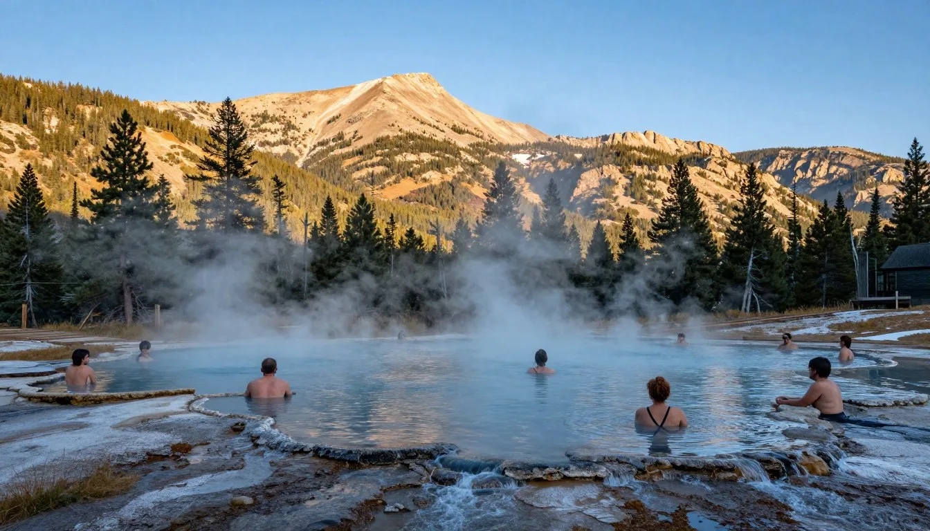
Waunita Hot Springs, Colorado: Best Things to Do – Top Picks
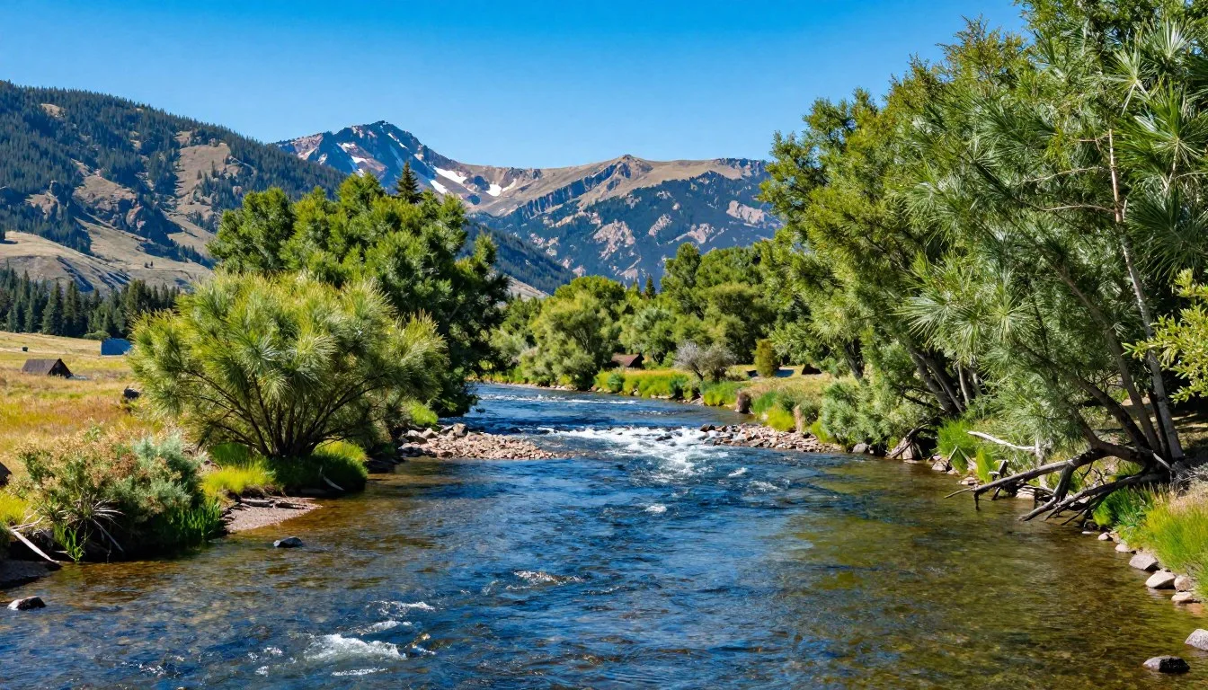
Uncompahgre River, Colorado: Best Things to Do – Top Picks

Uncompahgre Peak, Colorado: Best Things to Do – Top Picks
Vapor Caves Glenwood Springs, Colorado: Best Things to Do – Top Picks
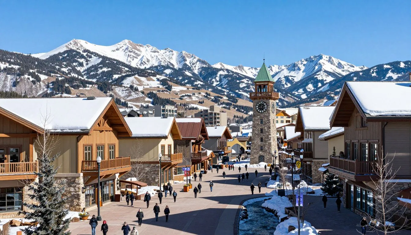
Vail Ski Resort, Colorado: Best Things to Do – Top Picks
Vail Pass Road, Colorado: Best Things to Do – Top Picks
Coming Soon: Clickable Maps