
Hotels by Trip.com
Flights by Trip.com
Standing at an impressive 4,287 m (14,064 ft), Humboldt Peak offers some of the most spectacular panoramic views in the entire Sangre de Cristo Range, yet remains one of Colorado’s less crowded 14ers (mountains exceeding 14,000 feet). Unlike its more technical neighbors, Crestone Needle and Crestone Peak, Humboldt provides a Class 2 hiking experience that’s accessible to moderately experienced hikers while still delivering the authentic Colorado high-alpine adventure that mountain enthusiasts seek.
Getting There & Planning Your Journey
Humboldt Peak is located approximately 12 km (7.5 miles) southwest of Westcliffe, Colorado in the Sangre de Cristo Wilderness. The closest major airports are Colorado Springs Airport (COS), about 113 km (70 miles) away, and Denver International Airport (DEN), approximately 290 km (180 miles) away.
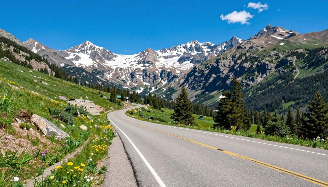
From Westcliffe, take Highway 69 south for about 7 km (4.5 miles) until you reach Colfax Lane (County Road 119). Turn right and continue for 9 km (5.5 miles) until the road ends. Turn right onto South Colony Road (Forest Service Road 120) and proceed to one of two parking areas:
- Lower 2WD Trailhead (8,800 ft): Accessible to all vehicles, located 0.5 km (0.3 miles) up Forest Road 120.
- Upper 4WD Trailhead (9,950 ft): Requires high-clearance 4WD vehicles, located 4.3 km (2.7 miles) further up the road. The road is extremely rough with large rocks and deep ruts.
Note that the upper section of South Colony Road was permanently closed to vehicles in 2009 beyond the gate at the upper trailhead. From either trailhead, you’ll follow the South Colony Lakes Trail to access Humboldt Peak.
Best Time to Visit & Weather Tips

Recommended Months
The prime hiking season for Humboldt Peak is from late June through mid-September when the trails are generally free of snow and weather conditions are most favorable.
- July-August: Peak season with the most stable weather and warmest temperatures, though afternoon thunderstorms are common.
- Early September: Often provides the most stable weather with fewer crowds and beautiful fall colors beginning to appear.
- Late June: Can be excellent but may still have snowfields requiring additional equipment and skills.
Months to Avoid
Winter conditions typically prevail from October through May, making the peak significantly more challenging and dangerous:
- November-April: Full winter conditions with deep snow, avalanche danger, and extreme cold.
- May-Early June: Snowmelt creates muddy trails and potentially dangerous stream crossings.
- Late September-October: Early season storms can bring unexpected snow and ice.
Weather on Humboldt Peak can change rapidly. Summer mornings typically start clear and cool but give way to afternoon thunderstorms that often develop by 12-2 PM. Always check the forecast before your trip and plan to be off the summit and below treeline by noon to avoid lightning danger.
Getting Around Locally

Once you arrive at the trailhead, all exploration of Humboldt Peak and the surrounding area is on foot. There is no public transportation to the trailhead, so a personal or rental vehicle is essential.
For those without a high-clearance 4WD vehicle, consider these options:
- Park at the lower 2WD lot and hike the additional 4.3 km (2.7 miles) to the upper trailhead.
- Arrange a shuttle or taxi from Westcliffe (limited availability, book in advance).
- Rent a suitable 4WD vehicle in Colorado Springs or Denver.
The town of Westcliffe serves as the nearest supply point with gas stations, grocery stores, and outdoor equipment shops. Stock up on all necessary supplies here before heading to the trailhead, as there are no services available once you leave town.
Where to Stay

Camping Options
Many visitors choose to camp to fully experience the wilderness setting and to split the hike over two days:
- South Colony Lakes Basin: Beautiful designated campsites located about 6.4 km (4 miles) from the upper trailhead. No permits required, but practice Leave No Trace principles and camp at least 91 m (300 ft) from lakes and streams.
- Alvarado Campground: Forest Service campground with 47 sites, located on County Road 140, about 8 km (5 miles) west of Highway 69. Good for acclimatizing at 2,743 m (9,000 ft) before your hike.
- Dispersed Camping: Allowed along South Colony Road before the Forest Service boundary, approximately 2.4 km (1.5 miles) from the lower parking lot.
Lodging in Westcliffe
If you prefer more comfortable accommodations:
- Lamp Post Lodge: Cozy rooms in downtown Westcliffe.
- Westcliffe Inn: Basic hotel accommodations with mountain views.
- Country Courtyard Inn: Comfortable rooms with private bathrooms.
- Vacation Rentals: Numerous cabins and homes available through various booking platforms.
For those planning to summit Humboldt Peak in a single day, staying in Westcliffe the night before allows for an early start while being well-rested.
✓ Check 30,000+ Local Sightseeing Tours Worldwide
Dining & Local Cuisine

Westcliffe offers several dining options to fuel up before your adventure or celebrate after conquering Humboldt Peak:
- Chappy’s Mountain View Bar & Grill: Popular spot with hearty portions of American comfort food, often mentioned by hikers in trip reports.
- Alpine Lodge Restaurant: Serves breakfast, lunch, and dinner with mountain-inspired cuisine.
- Westcliffe Petroleum & Convenience: Good for grabbing last-minute trail snacks and drinks.
- Sangre de Cristo Coffee: Great place for an early morning caffeine boost before heading to the trailhead.
For hikers planning to camp, Westcliffe has a grocery store where you can stock up on supplies for trail meals. When packing food for your hike, focus on high-energy, lightweight options that won’t spoil easily. Many experienced Humboldt Peak hikers recommend bringing at least 2 liters of water per person and a water filter to refill at South Colony Lakes.
Attractions, Sightseeing & Activities

Hiking Humboldt Peak
The main attraction is, of course, summiting Humboldt Peak itself. The standard West Ridge route is a Class 2 hike covering approximately 17.7 km (11 miles) round trip from the upper trailhead with 1,280 m (4,200 ft) of elevation gain. Key sections include:
- South Colony Lakes Trail: Well-maintained path through forest and alpine meadows.
- South Colony Lakes Basin: Stunning alpine lakes with spectacular views of Crestone Needle.
- West Ridge: Moderately steep trail with some rocky sections but no technical climbing required.
- Summit: Panoramic views of the Sangre de Cristo Range, including Crestone Needle, Crestone Peak, and the San Luis Valley.
Other Nearby Activities
While in the area, consider these additional attractions:
- South Colony Lakes: Beautiful alpine lakes worth visiting even if you don’t summit.
- Broken Hand Pass: Scenic viewpoint accessible via a side trail.
- Wildlife Viewing: The area is home to marmots, pikas, mountain goats, and various bird species.
- Photography: The views of Crestone Needle from the South Colony Lakes basin are considered some of the most photogenic in Colorado.
Most visitors focus their trip on the hiking experience, as the remote location and wilderness designation mean there are few developed tourist attractions in the immediate vicinity.
Museums, Cultural Spots & Festivals
While the immediate area around Humboldt Peak is wilderness, the nearby town of Westcliffe offers some cultural experiences:
- Westcliffe Historic District: Explore the charming mountain town with historic buildings dating back to its mining days.
- Dark Skies Community: Westcliffe is designated as an International Dark Sky Community, making it perfect for stargazing.
- All Aboard Westcliffe: Small railroad museum celebrating the area’s transportation history.
- High Mountain Hay Fever Bluegrass Festival: Annual July event featuring bluegrass music (check dates if planning a summer visit).
- Wet Mountain Valley Farmers Market: Seasonal market on Thursdays in Westcliffe featuring local produce and crafts.
The Sangre de Cristo Range has cultural significance to various Native American tribes who considered these mountains sacred. The name “Sangre de Cristo” (Blood of Christ) was given by Spanish explorers who observed the reddish glow on the mountains at sunset.
Nature & Outdoor Experiences

The Sangre de Cristo Wilderness surrounding Humboldt Peak offers exceptional opportunities to experience Colorado’s natural beauty:
Flora and Fauna
- Alpine Wildflowers: During July and August, the meadows explode with colorful displays of columbine, Indian paintbrush, alpine forget-me-nots, and many other species.
- Wildlife: Common sightings include yellow-bellied marmots, American pikas, mule deer, and various bird species. Mountain goats occasionally frequent the higher slopes.
- Forest Zones: Experience the transition from montane forest to subalpine and alpine ecosystems as you ascend.
Additional Outdoor Activities
- Photography: The dramatic landscapes, especially at sunrise and sunset, offer exceptional photography opportunities.
- Fishing: South Colony Lakes contain trout and are open to fishing with proper Colorado fishing license.
- Stargazing: The remote location and high altitude provide extraordinary night sky viewing.
- Backpacking: Extended trips through the Sangre de Cristo Wilderness allow for deeper exploration of this mountain range.
The area’s pristine wilderness character is carefully preserved, with minimal development to maintain its natural state. Visitors should practice Leave No Trace principles to help protect this special environment.
Safety, Etiquette & Local Customs

Mountain Safety
Hiking Humboldt Peak involves significant risks that require proper preparation:
- Weather: Start early (before dawn) to avoid afternoon thunderstorms. Plan to be off the summit and below treeline by noon.
- Altitude: Acclimatize properly by spending a night at moderate elevation before attempting the summit. Watch for symptoms of altitude sickness.
- Navigation: Bring a map, compass, and/or GPS device. Cell service is extremely limited or non-existent.
- The Ten Essentials: Always carry navigation tools, sun protection, insulation (extra clothing), illumination (headlamp), first-aid supplies, fire starter, repair kit, extra food, extra water, and emergency shelter.
- Lightning Safety: If caught in a thunderstorm, descend immediately. If impossible, avoid isolated trees, ridgelines, and summits.
Wilderness Etiquette
The Sangre de Cristo Wilderness has specific regulations to preserve its natural character:
- Leave No Trace: Pack out all trash, bury human waste at least 20 cm (8 inches) deep and 91 m (300 ft) from water sources.
- Camping: Camp at least 91 m (300 ft) from lakes and streams. Use established sites when possible.
- Wildlife: Store food properly to avoid attracting animals. Observe wildlife from a distance.
- Group Size: Wilderness regulations limit group size to 15 people.
- Pets: Dogs are allowed but must be under control at all times. Consider whether your dog is prepared for a strenuous high-altitude hike.
Always inform someone of your hiking plans, including expected return time, and check in with them upon completion of your hike.
Visitor Comments About Humboldt Peak

“Humboldt Peak was my first Colorado 14er, and it was the perfect introduction to high-altitude hiking. The trail is challenging but straightforward, and the views of Crestone Needle from South Colony Lakes are worth the trip alone. I recommend camping at the lakes to split the hike and enjoy the incredible stargazing.”
“As someone who’s climbed several 14ers, I found Humboldt to be a refreshing experience. It’s less crowded than the Front Range peaks but offers equally spectacular views. The 4WD road is seriously rough though—don’t attempt it without proper clearance. September was perfect with stable weather and beautiful fall colors starting to appear.”
“The mosquitoes in early July were relentless, but the wildflowers made up for it! Bring plenty of bug spray if visiting in early summer. The final push to the summit has some loose rock, so trekking poles were very helpful. The 360-degree views from the top are among the best I’ve seen in Colorado.”
Additional Nearby Destinations

While visiting Humboldt Peak, consider exploring these nearby attractions:
- Crestone Needle (14,197 ft): A more technical climb (Class 3) for experienced mountaineers, visible from Humboldt Peak.
- Crestone Peak (14,294 ft): Another challenging 14er in the immediate vicinity.
- Great Sand Dunes National Park: Located about 64 km (40 miles) southwest, featuring North America’s tallest sand dunes.
- Rainbow Trail: Popular 161 km (100-mile) trail system for hiking and mountain biking along the eastern edge of the Sangre de Cristo Range.
- Westcliffe: Explore this charming mountain town with its International Dark Sky designation.
- Bishop Castle: Unique roadside attraction about 48 km (30 miles) north, featuring an elaborate hand-built stone castle.
The San Luis Valley to the west offers additional attractions including hot springs, wildlife refuges, and historic sites that can complement your mountain adventure.
Practical Travel Tips

- Acclimatization: Spend at least one night at moderate elevation (2,400-2,700 m/8,000-9,000 ft) before attempting the hike to reduce altitude sickness risk.
- Vehicle Preparation: If attempting to drive to the upper trailhead, ensure your vehicle has high clearance, 4WD, and preferably all-terrain tires. Bring a full-size spare tire.
- Water: Bring at least 2 liters per person and a water filter to refill at South Colony Lakes.
- Weather Resources: Check mountain-specific forecasts at the National Weather Service or mountain-forecast.com before your trip.
- Cell Service: Expect no reliable cell service at the trailhead or on the mountain. Consider a satellite communication device for emergencies.
- Permits: No permits are currently required for hiking or camping, but check with the San Isabel National Forest office for the most current information.
- Maps: The USGS Crestone Peak quadrangle covers the area. National Geographic Trails Illustrated map #138 (Sangre de Cristo Mountains) is also excellent.
- Mosquito Protection: Bring strong insect repellent if hiking in June or early July when mosquitoes can be intense.
The San Isabel National Forest office in Cañon City (719-269-8500) or the Westcliffe Ranger Station (719-783-2079) can provide the most current information about trail conditions and regulations.
The Call of the Sangres: Your Humboldt Adventure Awaits
Humboldt Peak stands as a perfect introduction to the wild beauty of the Sangre de Cristo Range, offering a challenging yet accessible mountain experience that rewards hikers with some of Colorado’s most spectacular alpine scenery. Whether you’re seeking your first 14er summit or looking to experience a less-crowded mountain with exceptional views, Humboldt delivers an authentic Colorado adventure. With proper preparation, respect for the wilderness, and an appreciation for the natural world, your journey to Humboldt Peak will likely become one of your most treasured mountain memories.
Related Posts
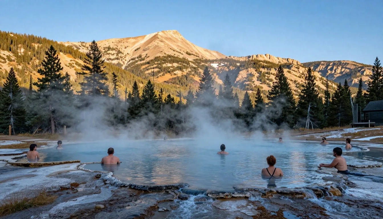
Waunita Hot Springs, Colorado: Best Things to Do – Top Picks
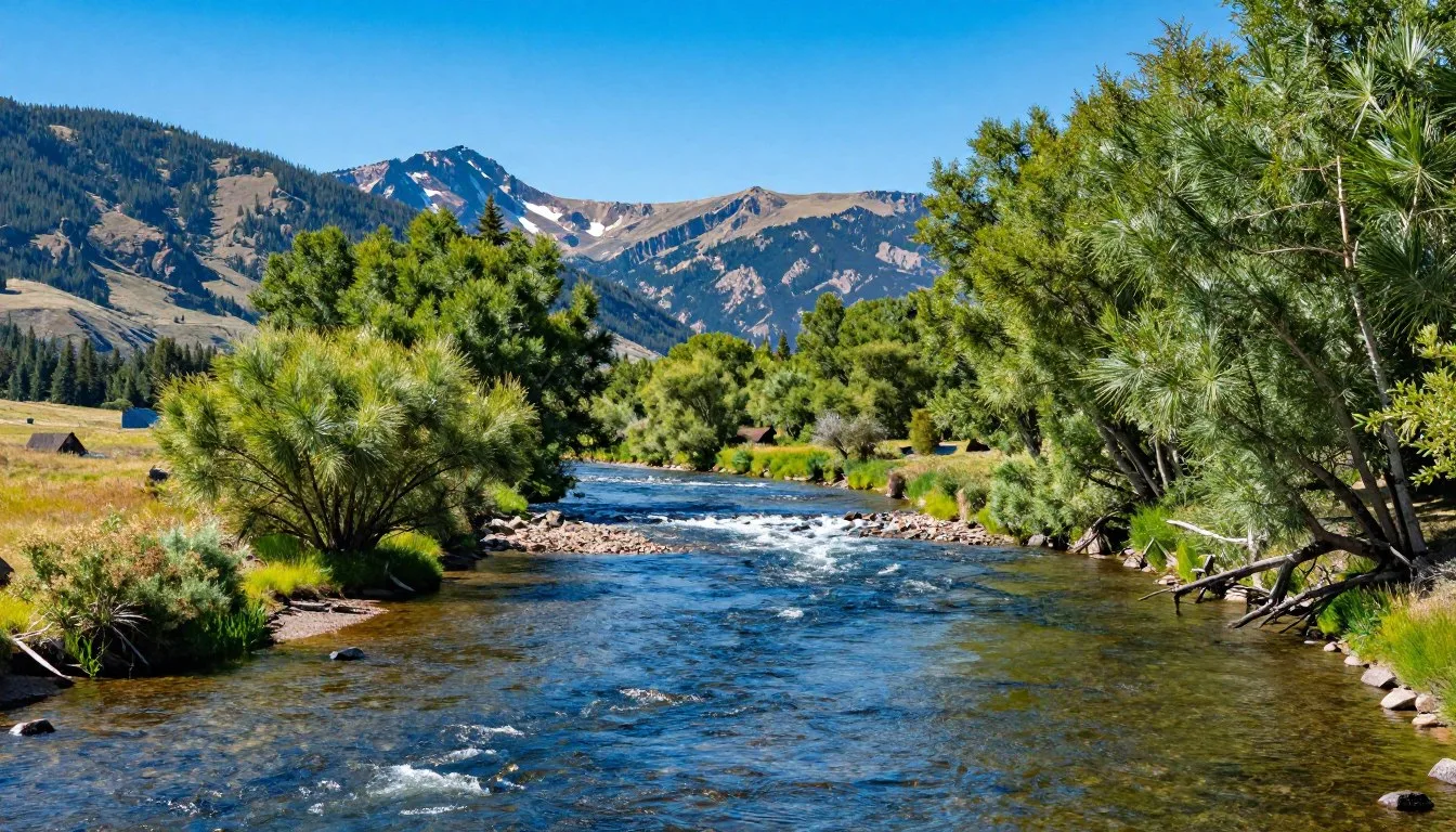
Uncompahgre River, Colorado: Best Things to Do – Top Picks

Uncompahgre Peak, Colorado: Best Things to Do – Top Picks
Vapor Caves Glenwood Springs, Colorado: Best Things to Do – Top Picks
Vail Ski Resort, Colorado: Best Things to Do – Top Picks
Vail Pass Road, Colorado: Best Things to Do – Top Picks
Coming Soon: Clickable Maps