
Hotels by Trip.com
Flights by Trip.com
Few visitors realize that the spectacular siltstone formations at Cathedral Gorge were created over millions of years from an ancient freshwater lake that once covered this entire valley, with some spires reaching over 30 m (100′) tall. This hidden gem in Nevada offers a landscape so otherworldly that photographers and hikers often feel they’ve stepped onto another planet. The park’s unique slot canyons, towering spires, and intricate erosion patterns create a geological wonderland that rewards explorers with stunning vistas and intimate passageways to discover.
In this comprehensive guide to Cathedral Gorge State Park, you’ll discover:
- The best time to visit for optimal weather and photography
- Top hiking trails and viewpoints
- Where to stay near the park
- Essential safety tips for desert exploration
- Nearby attractions to extend your Nevada adventure
Getting There & Planning Your Journey
Cathedral Gorge State Park is located in eastern Nevada along U.S. Highway 93, approximately 2.5 hours north of Las Vegas. The nearest town is Panaca, with the park entrance just a short drive from the highway.
Nearest Airports
- Harry Reid International Airport (Las Vegas) – 270 km (168 miles)
- St. George Regional Airport (Utah) – 193 km (120 miles)
- Cedar City Regional Airport (Utah) – 129 km (80 miles)
Most visitors arrive by car, as there is no public transportation to the park. Rental vehicles are available at all nearby airports. The drive from Las Vegas takes you through beautiful desert landscapes, making it an enjoyable part of your journey.
The park entrance is well-marked along Highway 93. Upon arrival, you’ll find a visitor center where you can get maps, information, and pay the entrance fee.
Best Time to Visit Cathedral Gorge

Recommended Seasons
- Spring (March-May): Mild temperatures between 10-24°C (50-75°F), occasional wildflowers, and comfortable hiking conditions.
- Fall (September-October): Similar to spring with pleasant temperatures and clear skies, perfect for photography.
Seasons to Avoid
- Summer (June-August): Temperatures frequently exceed 38°C (100°F), making hiking uncomfortable and potentially dangerous.
- Winter (December-February): While rarely crowded, temperatures can drop below freezing, and occasional snow may limit access to some areas.
For photographers, early morning and late afternoon provide the best lighting conditions, as the low-angle sunlight creates dramatic shadows and highlights the textures of the formations. The park is open 24 hours, allowing for night photography under the clear Nevada skies.
Getting Around Locally
Cathedral Gorge State Park is relatively compact, with a single main road running through it. The park’s total area is about 8 km² (1,800 acres), making it easy to explore in a single day.

A personal vehicle is essential for accessing the park, and once inside, you’ll find several parking areas near the main attractions. Most visitors drive between the major points of interest and then explore each area on foot via short hiking trails.
The park’s main road is paved and accessible to all vehicles. Four-wheel drive is not necessary unless you plan to visit during rare wet conditions when clay surfaces can become slippery.
Where to Stay

Camping in Cathedral Gorge
The park offers 22 developed campsites available on a first-come, first-served basis for $15 per night. Each site includes:
- Shade ramada
- Picnic table and fire ring
- Access to flush toilets and hot showers
- Some sites with electrical hookups
The campground is centrally located within the park, providing easy access to hiking trails and attractions. During spring and fall weekends, sites can fill quickly, so arriving early is recommended.
Nearby Accommodations
If camping isn’t your preference, limited lodging options are available in nearby towns:
- Panaca (5 km/3 miles): Small bed and breakfast options
- Pioche (24 km/15 miles): Historic mining town with motels and inns
- Caliente (40 km/25 miles): Several motels and rental cabins
For more conventional hotel accommodations, Cedar City, Utah is about 129 km (80 miles) away and offers numerous chain hotels and restaurants.
✓ Check 30,000+ Local Sightseeing Tours Worldwide
Dining & Local Cuisine
Cathedral Gorge State Park does not have food services within its boundaries, so planning ahead is essential. The nearby towns offer limited dining options:

Picnicking in the Park
The park has several designated picnic areas with tables and shade structures. The main picnic area is located near the day-use parking lot and provides a pleasant setting for meals with views of the formations.
Nearby Dining Options
- Panaca: Small market with basic supplies
- Pioche: Historic Silver Cafe (oldest operating restaurant in Nevada) serving American comfort food
- Caliente: Several casual dining options including Knotty Pine Restaurant and Side Track Restaurant
Most visitors bring coolers with food and drinks for their stay, especially if camping. The nearest substantial grocery stores are in Cedar City, Utah, so stock up before heading to the park if staying multiple days.
Attractions, Sightseeing & Activities
Miller Point Trail and Overlook
This signature attraction offers the most iconic views in the park. The 1 km (0.6 mile) trail leads through a dramatic canyon to a steel staircase that ascends to a gazebo overlook. From here, you’ll enjoy panoramic views of the park’s most spectacular formations. This is particularly stunning during golden hour when the low sun creates dramatic shadows across the landscape.
Exploring the Slot Canyons
Cathedral Gorge is famous for its narrow slot canyons that wind through the soft bentonite clay formations. There are three main areas to explore:

- Moon Caves: Located near the park entrance, these slot canyons feature numerous narrow passages to explore.
- Cathedral Caves: Near the picnic area, these slots offer some of the most photogenic narrow passages.
- Canyon Caves: Located near the historic water tower, these provide additional exploration opportunities.
Unlike traditional caves, these “caves” are actually narrow slot canyons that end abruptly, creating intimate spaces with fascinating textures and light patterns.
C.C.C. Water Tower
This historic structure was built by the Civilian Conservation Corps in the 1930s and stands as a reminder of the park’s development during the Great Depression. The tower is a quick stop along the main park road.
Hiking Trails and Nature Experiences

| Trail Name | Distance | Difficulty | Highlights |
| Juniper Draw Loop | 6.4 km (4 miles) | Easy to Moderate | Comprehensive tour of the park’s backcountry with diverse views |
| Miller Point Trail | 1 km (0.6 miles) | Easy | Dramatic canyon views and overlook |
| Eagle Point Trail | 1.9 km (1.2 miles) | Easy | Ridge-top views of the valley |
| Nature Loop | 0.8 km (0.5 miles) | Very Easy | Interpretive signs about local flora and fauna |
| Hawk’s Ridge Trail | 6.4-9.6 km (4-6 miles) | Moderate | Extended hike with ridge views and diverse terrain |
Wildlife Viewing
While the stark landscape might appear lifeless at first glance, Cathedral Gorge supports a variety of desert wildlife. Early mornings and evenings offer the best opportunities to spot:
- Jackrabbits and cottontails
- Desert lizards and snakes
- Coyotes
- Various bird species including hawks and ravens
The park’s vegetation includes drought-adapted species such as juniper trees, sagebrush, and various desert wildflowers that bloom briefly after spring rains.
Photography Opportunities

Cathedral Gorge is a photographer’s paradise, offering unique compositions at every turn. The best photography opportunities include:
- Golden Hour Lighting: The first and last hours of daylight create dramatic shadows and warm tones on the formations.
- Slot Canyon Textures: The narrow passages offer intimate compositions with interesting light patterns.
- Miller Point Overlook: Provides sweeping vistas, especially dramatic at sunrise and sunset.
- Night Photography: The park’s remote location offers minimal light pollution for astrophotography.
Photographers should bring wide-angle lenses for the slot canyons and telephoto lenses to capture details in the distant formations. A tripod is essential for low-light conditions and creating depth of field in landscape compositions.
Cathedral Gorge State Park Location
Safety, Etiquette & Local Customs

Important Safety Considerations
- Heat Safety: Summer temperatures can be dangerous. Bring at least 4 liters (1 gallon) of water per person per day.
- Sun Protection: The park offers minimal shade. Wear sunscreen, a wide-brimmed hat, and sunglasses.
- Flash Floods: Avoid slot canyons during rain or if rain is forecast in the area.
- Cell Service: Coverage is limited or non-existent in most of the park.
Park Etiquette
- Stay on designated trails to protect the fragile formations.
- Pack out all trash (no garbage service is available in most areas).
- Pets must be kept on leashes no longer than 1.8 m (6 feet).
- Respect quiet hours at the campground (10 PM to 7 AM).
- Do not climb on or damage the clay formations, which are easily eroded.
The formations at Cathedral Gorge are composed of soft bentonite clay that can be damaged easily. Touching is permitted, but climbing on the formations is discouraged as it accelerates erosion and can be dangerous due to the unstable nature of the material.
Visitor Comments About Cathedral Gorge
“We stumbled upon Cathedral Gorge while driving from Zion to Great Basin and were absolutely blown away. The slot canyons are unlike anything I’ve seen elsewhere—narrower and more intimate than those in Arizona. We spent hours exploring the various passages and taking photos. Definitely worth planning at least half a day here.”
“As a photographer who has traveled extensively, I found Cathedral Gorge to be a hidden treasure. The formations create fascinating patterns of light and shadow throughout the day. I particularly recommend the Miller Point Trail at sunset when the entire canyon glows with warm light. The campground was clean and peaceful too.”
“We visited with our children (ages 8 and 10) who loved exploring the slot canyons—it was like a natural playground for them. The trails are easy enough for families, and the visitor center staff were incredibly helpful in suggesting age-appropriate activities. Just be sure to bring plenty of water and snacks as there are no services in the park.”
Additional Nearby Destinations

While Cathedral Gorge makes an excellent destination on its own, several other noteworthy attractions are within driving distance:
- Kershaw-Ryan State Park (40 km/25 miles): Lush canyon oasis with hiking trails and picnic areas.
- Echo Canyon State Park (48 km/30 miles): Reservoir for fishing and boating surrounded by scenic cliffs.
- Spring Valley State Park (56 km/35 miles): Historic ranch buildings and another reservoir for water activities.
- Great Basin National Park (160 km/100 miles): Alpine mountains, ancient bristlecone pines, and Lehman Caves.
- Valley of Fire State Park (225 km/140 miles): Spectacular red sandstone formations and petroglyphs.
A Nevada State Parks day-use permit ($5 for Nevada vehicles, $10 for out-of-state) allows same-day entry to all state parks, making it easy to visit multiple parks in one day.
Practical Travel Tips
What to Bring
- Plenty of water (at least 4 liters/1 gallon per person per day)
- Sun protection (hat, sunscreen, sunglasses, light long-sleeved clothing)
- Sturdy walking shoes with good traction
- Camera and tripod for photography enthusiasts
- Binoculars for wildlife viewing
- Food and snacks (no food services in the park)
- Cash for entrance fees (credit cards may not be accepted)
Park Information
- Entrance Fee: $5 for Nevada vehicles, $10 for out-of-state vehicles
- Hours: Open 24 hours daily, year-round
- Visitor Center Hours: 9:00 AM to 4:30 PM daily (may have seasonal variations)
- Contact: Park Office: (775) 728-4460
- Camping Fee: $15 per night (first-come, first-served)
The visitor center offers interpretive displays about the park’s geology and history, as well as maps and information. Rangers can provide current trail conditions and recommendations based on your interests and available time.
Your Nevada Adventure Awaits
Cathedral Gorge State Park may not have the name recognition of Nevada’s more famous destinations, but its unique landscape offers rewards that often exceed visitors’ expectations. The intimate slot canyons, dramatic spires, and peaceful setting provide a perfect escape into one of the American Southwest’s most distinctive geological wonders. Whether you’re a photographer seeking unique compositions, a hiker looking for accessible trails with spectacular views, or simply a traveler wanting to experience something different, Cathedral Gorge delivers an unforgettable experience that captures the wild beauty of Nevada’s high desert.
Related Posts
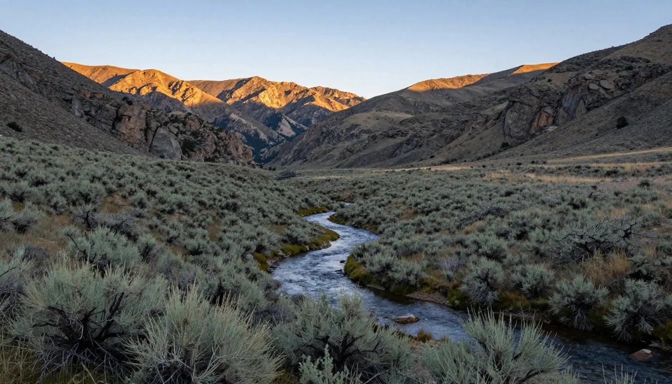
Steptoe Creek, Nevada: Best Things to Do – Top Picks
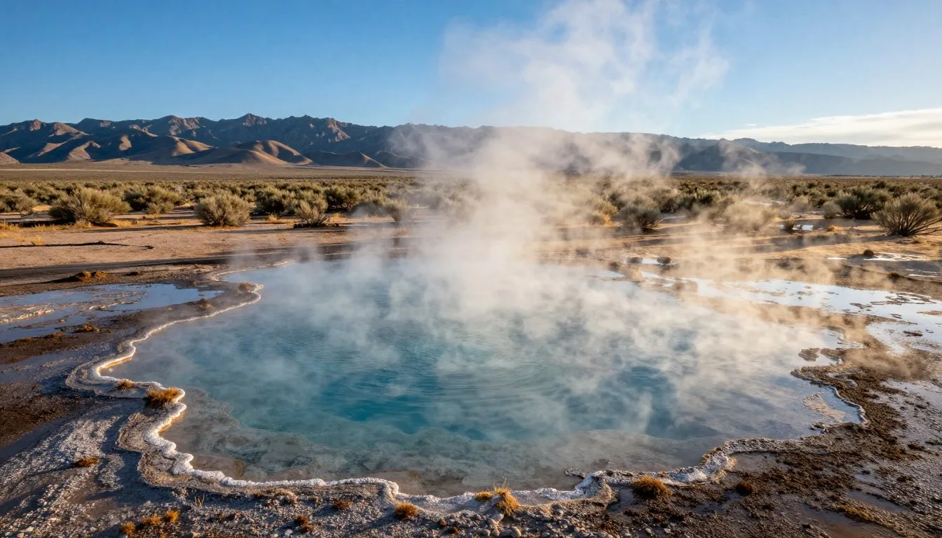
Steamboat Hot Springs, Nevada: Best Things to Do – Top Picks
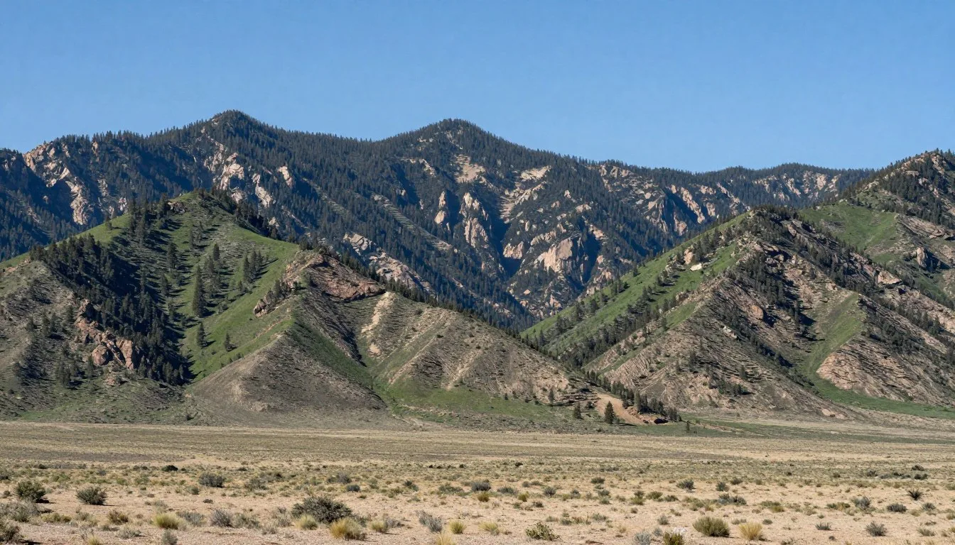
Spring Mountains, Nevada: Best Things to Do – Top Picks
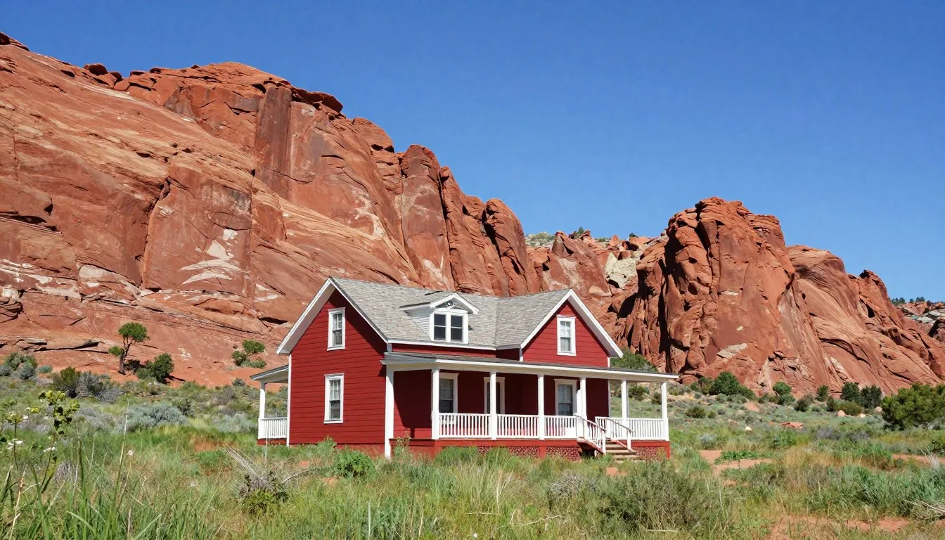
Spring Mountain Ranch State Park, Nevada: Best Things to Do – Top Picks
Spooner Lake Shoreline, Nevada: Best Things to Do – Top Picks
South Fork State Recreation Area, Nevada: Best Things to Do – Top Picks
Coming Soon: Clickable Maps