Hotels by Trip.com
Flights by Trip.com
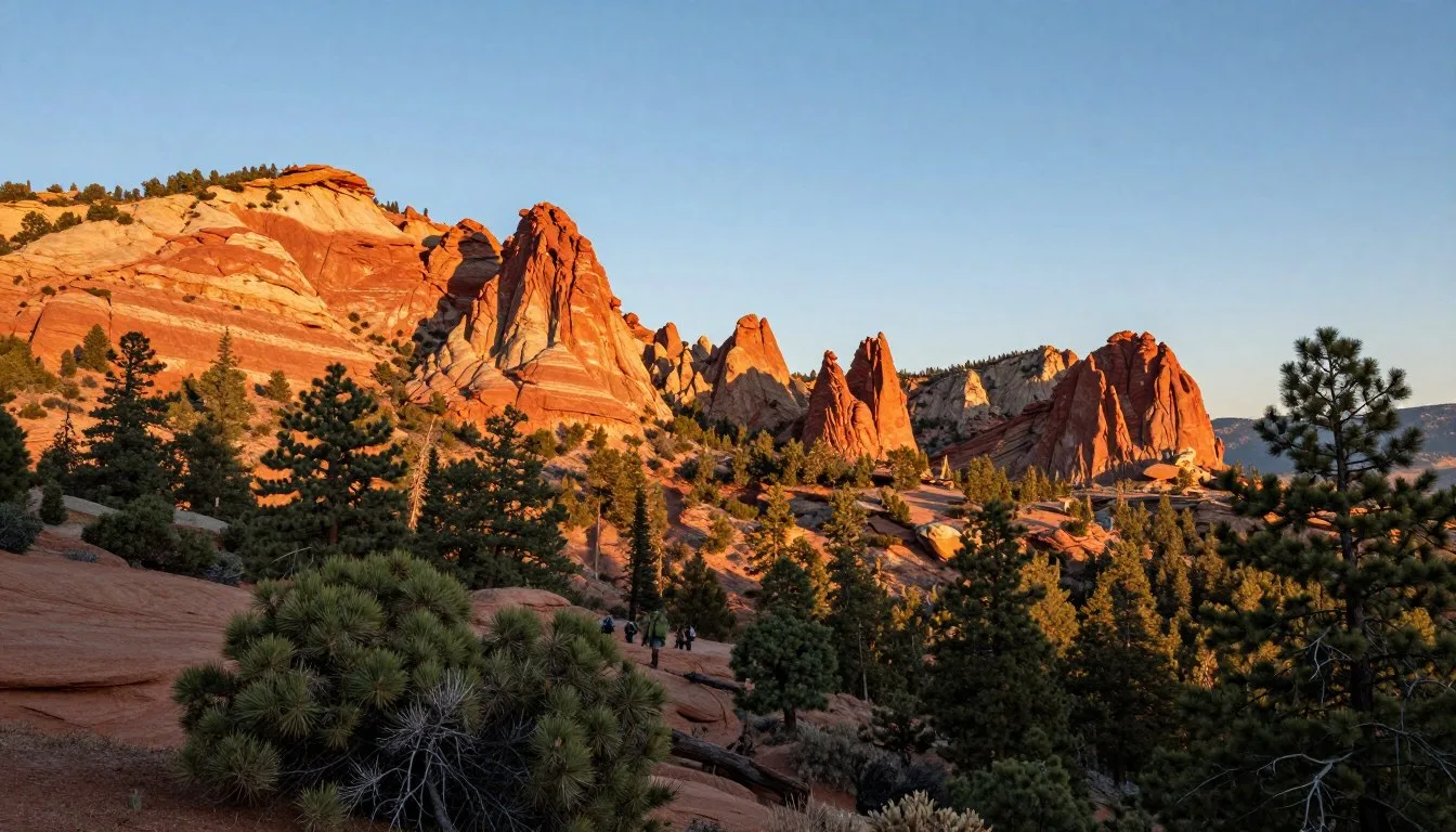
Standing at 4,123 m (13,528 feet), Kings Peak claims the title of Utah’s highest point. Yet fewer than 2,000 hikers successfully summit this remote peak each year. This relatively low number speaks to both the mountain’s challenging nature and its pristine, uncrowded wilderness character.
Most visitors spend 2-3 days completing the journey. The mountain sits deep within the High Uintas Wilderness, surrounded by over 1,000 alpine lakes and endless ridges.
The Uinta Mountains run east to west, making them unique among major North American ranges. This geological quirk creates distinct microclimates and ecosystems. Hikers encounter everything from dense pine forests to barren alpine tundra in a single trip.
This guide covers everything you need for Kings Peak and the surrounding area. You’ll find practical route information, lodging options, and insider tips gathered from experienced mountain travelers.
Getting There & Planning Your Journey

The nearest major airport is Salt Lake City International Airport (SLC), located approximately 217 km (135 miles) west of the Henry Fork Trailhead. Most visitors rent vehicles at the airport for the 3-hour drive.
A smaller option is Vernal Regional Airport, just 97 km (60 miles) from the trailhead. This airport offers limited commercial flights but provides closer access to the area.
Driving Routes and Road Conditions
From Salt Lake City, take I-80 east to US-189 south through Heber City. Continue on US-40 through Duchesne, then turn north on Highway 87 toward Mountain Home. The final stretch requires Forest Road 077, a maintained gravel road accessible to most vehicles.
The road typically opens in late June or early July after snowmelt. Forest Service gates may remain closed until conditions allow safe passage. Always check current road status before departing.
Important Contact Information:
Uinta-Wasatch-Cache National Forest – Evanston Ranger District
Call for current road conditions and trail status
Trailhead Access Points
Three main trailheads provide access to Kings Peak. Each offers different distances, elevation gains, and scenic qualities.
Henry Fork Trailhead remains the most popular starting point. The route covers approximately 45 km (28 miles) round trip with 1,615 m (5,300 feet) of elevation gain. This trail offers the most gradual approach.
Gunsight Pass Trail via Henrys Fork presents a shorter but steeper alternative. Hikers cover about 40 km (25 miles) with similar elevation gain concentrated in fewer miles.
The route via Anderson Pass adds significant distance but rewards hikers with exceptional alpine lake scenery. This option extends the journey to roughly 51 km (32 miles) round trip.

Permits and Wilderness Regulations
The High Uintas Wilderness requires no advance permits for day hiking or backpacking. However, rangers encourage visitors to complete free voluntary registration forms at trailheads. This helps with emergency response and resource management.
Group size limits restrict parties to 14 people maximum. Stock users face additional regulations regarding feed, grazing, and camping locations.
Best Time to Visit & Weather Tips

Best Time to Visit Kings Peak
The optimal window for Kings Peak extends from mid-July through mid-September. During these months, trails remain largely snow-free and weather conditions prove most stable.
Peak Season (July 15 – August 31): This period offers the most reliable conditions. Afternoon thunderstorms occur regularly but typically clear by evening. Temperatures range from 4°C to 21°C (40°F to 70°F) at lower elevations.
Shoulder Season (Early July, September): These months provide solitude but require careful planning. Snow may linger on north-facing slopes and high passes. Weather becomes less predictable in September.
Avoid (October – June): Winter and spring conditions make the peak extremely dangerous. Heavy snowpack, avalanche risk, and extreme cold challenge even experienced mountaineers. Most years see snow persisting on the trail until late June or early July.
Weather Patterns and Preparation
Mountain weather changes rapidly regardless of season. Morning sunshine often gives way to afternoon thunderstorms, particularly in July and August. Lightning poses serious risks above treeline.
Start summit attempts early. Most successful hikers depart camps by 5:00 AM to reach the summit before noon and descend before afternoon storms develop.
Lightning Safety: If thunderstorms approach while you’re on exposed ridge or near the summit, descend immediately to treeline. Do not wait out storms in exposed locations. More hikers die from lightning strikes in Utah mountains than any other weather-related cause.
Temperatures at the summit can drop below freezing any time of year. Pack insulating layers even for summer trips. Wind speeds frequently exceed 64 km/h (40 mph) on exposed ridges.
Seasonal Considerations
Snow conditions vary significantly year to year. Heavy snow winters may delay trail opening until August. Light snow years might allow access by mid-June. Always verify current conditions before finalizing trip plans.
Water availability peaks in July when snowmelt feeds countless streams and lakes. By September, some water sources may run low or dry up entirely. Plan water carries accordingly.
July Conditions
Peak snowmelt creates maximum water flow and vibrant wildflower displays throughout alpine meadows.
- Trails may have snow patches on passes
- Water abundant everywhere
- Wildflowers at peak bloom
- Mosquitoes most active
- Afternoon thunderstorms common
August Conditions
Most stable weather month with warm days and generally clear skies across the mountain range.
- Trails completely snow-free
- Water still reliable at most sources
- Mosquitoes decreasing
- Warmest temperatures of year
- Most crowded period
September Conditions
Crisp autumn air brings stunning golden aspen colors to lower elevations throughout the region.
- Excellent visibility and clear days
- Cool nights, possible frost
- Very few mosquitoes
- Some water sources drying up
- First snow possible late month
Early Season (June)
Challenging conditions with significant snow coverage remaining on trails and dangerous avalanche potential.
- Heavy snowpack above 3,048 m (10,000 feet)
- Ice axes and navigation skills required
- Avalanche danger on steep slopes
- Swollen creek crossings dangerous
- Not recommended for most hikers
Notable Annual Festivals
While Kings Peak itself hosts no festivals due to its wilderness designation, nearby communities celebrate the mountain heritage and outdoor culture.
Mountain Man Rendezvous (July): Fort Duchesne hosts this historical reenactment celebrating the fur trapping era. The event features period costumes, black powder shooting, and traditional crafts.
Contact: Duchesne County Events Office
Uintah Basin Fair (August): Held in Vernal, this fair showcases local agriculture, crafts, and outdoor culture. Rodeo events and live music attract visitors from across the region.
Contact: Uintah Basin Fair Office
Getting Around Locally

The Kings Peak area lacks public transportation infrastructure. Personal vehicles provide the only practical means of reaching trailheads and accessing surrounding attractions.
Vehicle Requirements
Standard passenger cars handle the drive to Henry Fork Trailhead during dry conditions. The forest road features graded gravel but may develop washboard surfaces or potholes later in the season.
High-clearance vehicles prove advantageous for exploring additional forest roads and alternate trailheads. Four-wheel drive becomes necessary only during wet conditions or early season when snow patches remain.
Several parking areas exist at Henry Fork Trailhead. Arrive early during peak season as spaces fill completely by midday on weekends. Overflow parking extends along the access road.
Regional Navigation
Cell phone coverage does not exist at trailheads or anywhere within the wilderness. Download offline maps before departure or carry traditional paper maps and compass.
GPS devices function reliably for navigation. However, carry backup navigation tools as batteries die quickly in cold mountain temperatures.
The nearest fuel stations operate in Mountain Home and Manila, both requiring significant detours from main routes. Fill tanks in larger towns like Roosevelt or Vernal before heading into the mountains.
Local Communities
Mountain Home serves as the closest community to Kings Peak trailheads. This small settlement offers limited services including a general store and scattered lodging options.
Duchesne provides more comprehensive services 80 km (50 miles) southwest. The town features grocery stores, restaurants, hotels, and outdoor gear shops.
Vernal, located 97 km (60 miles) southeast, represents the largest nearby city. Visitors find full services including hospitals, major retailers, restaurants, and accommodations.
Where to Stay

Accommodation options near Kings Peak range from primitive wilderness camping to comfortable lodges. Most visitors combine backcountry camping for the peak ascent with hotel stays before and after the trip.
Backcountry Camping
Dispersed camping is permitted throughout the High Uintas Wilderness. Camp at least 61 m (200 feet) from lakes and streams to protect water quality and riparian vegetation.
Popular camping areas include Dollar Lake, Gunsight Pass, and the meadows north of Henrys Fork Basin. These locations provide water access, some shelter from wind, and convenient positioning for summit attempts.
Established campsites exist at many locations, though regulations prohibit building new fire rings. Use existing fire rings where present, or better yet, carry a backpacking stove to minimize impact.
Camping Tip: Dollar Lake sees heavy use and becomes crowded on summer weekends. Consider camping 1.6 km (1 mile) beyond the lake for more solitude while maintaining reasonable summit access.
Developed Campgrounds
Henry’s Fork Campground sits 8 km (5 miles) from the trailhead along the access road. This Forest Service campground offers basic amenities including vault toilets and picnic tables. No drinking water is available.
Sites operate on a first-come, first-served basis. Fees run approximately $10 per night. The campground typically opens in late June and closes in September.
China Meadows Campground provides another option further from the trailhead. This smaller facility offers similar amenities in a quieter setting.
Nearby Lodging
Spirit Lake Lodge
Historic mountain lodge offering rustic cabins and home-cooked meals. Located 32 km (20 miles) from trailhead.
Amenities include hot showers, restaurant, and small general store with basic supplies.
Moon Lake Resort
Family-owned resort featuring cabins, RV sites, and boat rentals on scenic Moon Lake.
Restaurant serves breakfast and dinner. Small store carries fishing licenses, snacks, and camping supplies.
Hotels in Roosevelt
Roosevelt offers chain hotels with full amenities approximately 97 km (60 miles) from trailhead.
Options include national brands with pools, fitness centers, and complimentary breakfast. Convenient for pre-trip shopping and preparation.
Multiple hotel chains available via standard booking channels
Extended Stay Options
Vacation rentals exist in Mountain Home and surrounding areas. These properties often accommodate groups and provide full kitchens for meal preparation.
RV camping is available at several private campgrounds near Roosevelt and Vernal. These facilities offer full hookups, showers, and laundry facilities.
Dining & Local Cuisine

Dining options near Kings Peak remain limited due to the remote location. Most hikers pack all food for backcountry trips and rely on nearby towns for restaurant meals before and after adventures.
Trail Dining
No services exist within the wilderness area. Carry all food and cooking equipment for the duration of your backcountry trip. Plan for high-calorie meals to fuel long days and elevation gain.
Water treatment is essential. While streams and lakes appear pristine, Giardia and other pathogens exist throughout the backcountry. Filter, purify, or boil all drinking water.
Bear canisters are not required but recommended for food storage. Hanging food from trees proves difficult in the sparse alpine environment. Proper food storage protects both wildlife and your supplies.
Local Restaurants
Spirit Lake Lodge operates a small dining room serving hearty breakfasts and dinners. The menu features classic American comfort food with generous portions sized for hungry hikers. Reservations are recommended during peak season.
Moon Lake Resort’s café offers similar fare with an emphasis on grilled items and homemade pies. The restaurant maintains limited hours, typically serving breakfast and dinner only.
Town Dining Options
Roosevelt and Vernal provide the nearest full-service dining. Both towns feature a mix of national chains and local establishments.
Local favorites in Vernal include steakhouses serving ranch-raised beef and Mexican restaurants run by longtime area families. The town also offers pizza, burgers, and Chinese cuisine.
Grocery stores in both communities stock supplies for backcountry trips. Purchase freeze-dried meals, trail snacks, and fuel for camp stoves. Selection exceeds what smaller mountain stores carry.
Regional Specialties
The Uinta Basin doesn’t claim specific culinary traditions like some destinations. However, ranch culture influences local preferences toward beef, potatoes, and hearty portions.
Fresh-caught trout occasionally appears on menus at mountain lodges. The numerous lakes and streams support healthy populations, and many visitors fish to supplement trail meals.
Huckleberries grow wild in the Uintas at higher elevations. Late summer brings ripe berries to some areas, though picking requires knowledge of safe identification and Leave No Trace practices.
Attractions, Sightseeing & Activities

Summiting Kings Peak
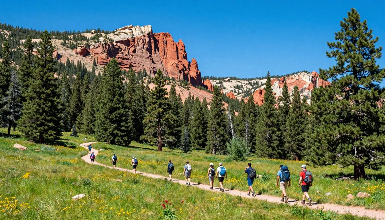
The summit remains the primary attraction for most visitors. The via Henrys Fork trail provides the most accessible route while still presenting a significant challenge.
Most hikers spread the journey across 2-3 days. A typical itinerary involves hiking to Dollar Lake on day one, summiting and returning to the lake on day two, and hiking out on day three.
The final push from Dollar Lake to the summit covers 8 km (5 miles) one-way with 853 m (2,800 feet) of elevation gain. The route crosses Anderson Pass before following the north ridge to the top.
Trail conditions vary from well-defined paths through forest and meadow to rocky scrambles on the upper mountain. Route-finding becomes critical above Dollar Lake where cairns mark the way across talus fields.

Alternative Routes
The Gunsight Pass route offers a different perspective on the mountain. This trail joins the main route near the summit ridge, creating loop possibilities for experienced navigators.
Approaching via Anderson Pass from the west adds distance but showcases stunning alpine lake country. This route passes numerous unnamed tarns and provides opportunities for extended backpacking trips.
The North Slope route represents the shortest path to the summit but requires more technical skills. Steep snowfields often persist into late summer on this north-facing approach.
Alpine Lakes
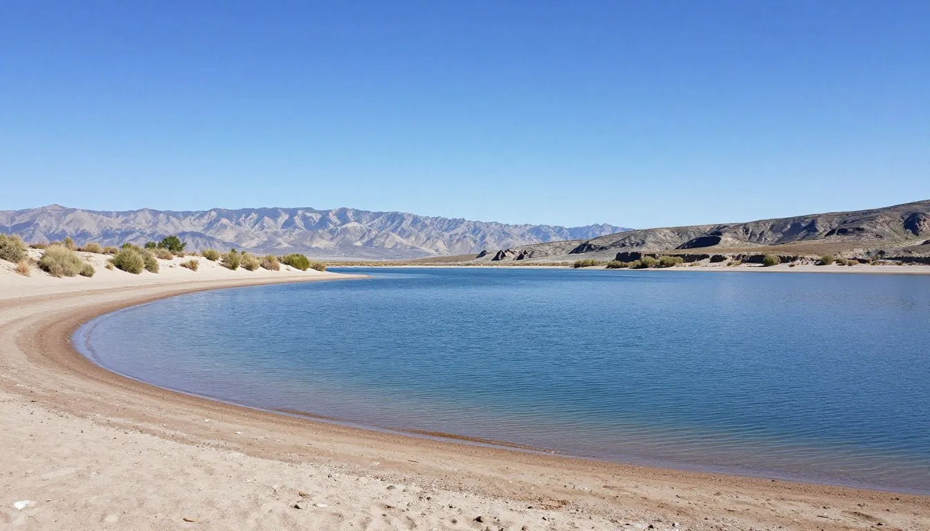
Dollar Lake serves as the base camp for most summit attempts. This alpine tarn sits at 3,505 m (11,500 feet) in a rocky cirque below the peak.
The lake covers approximately 4 hectares (10 acres) and reaches depths of 12 m (40 feet). Water remains frigid even in August, though hardy souls occasionally take quick dips.
Dozens of other lakes dot the Henrys Fork drainage. Elkhorn Crossing, Castle Lake, and Blanchard Lake provide alternative camping and exploration options.

Ridge Traverses
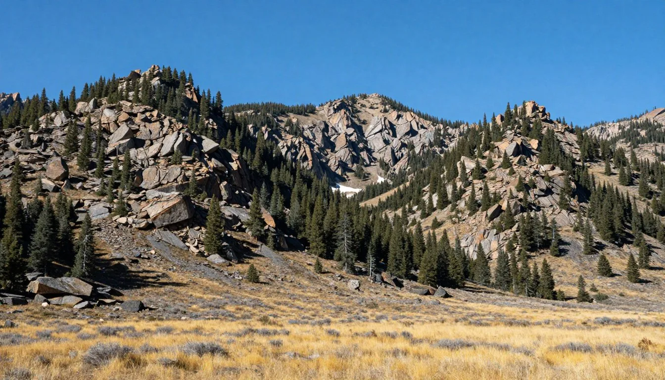
Experienced hikers explore the extensive ridge systems surrounding Kings Peak. The north ridge extends for miles, connecting multiple summits above 3,962 m (13,000 feet).
Gunsight Pass sits at 3,749 m (12,300 feet) and offers panoramic views across the High Uintas. The pass makes an excellent destination for those not attempting the summit.
Anderson Pass provides another high-elevation viewpoint. Both passes require significant effort to reach but reward visitors with stunning alpine vistas.
Wildlife Viewing
The High Uintas support diverse wildlife populations. Mule deer and elk frequent lower elevations and meadows. Mountain goats inhabit the highest peaks and ridges.
Pikas and marmots live among the talus fields. Their distinctive calls and whistles often accompany hikers on upper slopes.
Raptors including golden eagles soar on thermals above ridgelines. In late summer, Clark’s nutcrackers and gray jays visit camps looking for food scraps.
Black bears range throughout the area, though encounters remain relatively uncommon at higher elevations. Practice proper food storage to protect both bears and your supplies.

Photography Opportunities
Sunrise from the summit provides spectacular photography conditions. The early light illuminates dozens of peaks stretching to the horizon in every direction.
Wildflower season peaks in late July and early August. Alpine meadows explode with color including paintbrush, lupine, columbine, and countless other species.
Reflection photos at Dollar Lake and other tarns work best during calm morning hours before winds develop. The still water creates mirror-like surfaces reflecting surrounding peaks.
Museums, Cultural Spots & Festivals

While Kings Peak itself contains no cultural facilities due to wilderness designation, nearby communities preserve the region’s history and heritage.
Western Heritage Museum
Located in Vernal, this museum chronicles the settlement of the Uinta Basin. Exhibits cover Native American history, fur trappers, Mormon pioneers, and the development of agriculture and mining.
The museum maintains collections of historical photographs, period clothing, and artifacts from early expeditions into the Uinta Mountains. A small section documents early ascents of Kings Peak.
Western Heritage Museum
Utah Field House of Natural History
This state park museum in Vernal features extensive dinosaur exhibits and geological displays. The Uinta Basin has produced significant paleontological discoveries.
The museum’s geological section explains the formation of the Uinta Mountains and their unique east-west orientation. Interactive exhibits help visitors understand the forces that shaped the landscape.
Native American Heritage
The Ute Indian Tribe maintains cultural ties to the Uinta Mountains. These lands served as traditional hunting and gathering grounds for centuries before European contact.
The tribe operates the Ute Indian Museum in Fort Duchesne, showcasing traditional crafts, clothing, and tools. The museum also documents the tribe’s history and contemporary culture.
Visitors should respect that many areas hold spiritual significance. Some traditional gathering areas and sacred sites exist throughout the mountains, though specific locations are not publicized.
Historical Sites
Remnants of early exploration and settlement dot the region. Old cabin foundations, corrals, and mining remnants appear along some trails.
The region supported limited mining operations in the late 1800s and early 1900s. Prospectors sought gold and other minerals, though few operations proved profitable.
Sheepherders and cattlemen used high meadows for summer grazing. Stone cairns and carved aspen trees bear testimony to their presence, some dating back over a century.
Nature & Outdoor Experiences

Backpacking Routes
The High Uintas Wilderness contains over 643 km (400 miles) of maintained trails. Extended backpacking trips allow exploration of remote basins and peak collections.
The Highline Trail runs the length of the range for 104 km (65 miles). This epic route passes through diverse terrain from dense forests to exposed alpine ridges. Most hikers complete the trail in 7-10 days.
Loop options combine multiple trails for shorter trips. The Henrys Fork to Yellowstone Creek loop covers approximately 56 km (35 miles) and showcases exceptional lake country.
Cross-country travel opens limitless possibilities for experienced navigators. Topographic maps reveal hundreds of lakes accessible only by off-trail hiking.

Day Hiking Options
Shorter hikes provide access to scenic areas without overnight commitment. The trail to Henrys Fork Lake makes an excellent day hike covering 19 km (12 miles) round trip.
The route gains moderate elevation through pine forests and meadows. The lake sits in a scenic basin below several peaks. Most hikers complete the trip in 6-8 hours.
Dollar Lake itself makes a challenging but achievable day hike for fit hikers. The 29 km (18 mile) round trip requires early starts and quick pace but offers spectacular views.
Fishing
The Uinta Mountains contain some of Utah’s finest wild trout fisheries. Over 1,000 lakes support populations of brook, cutthroat, rainbow, and occasionally golden trout.
A Utah fishing license is required for anyone 12 years and older. Licenses are available in nearby towns or online through the Utah Division of Wildlife Resources.
Henrys Fork itself offers excellent stream fishing for cutthroat trout. The creek winds through meadows and forest, creating varied habitat and good fish populations.
Dollar Lake holds brook trout, though fishing pressure keeps numbers moderate. Remote lakes accessed by cross-country travel often provide better action.

Rock Climbing and Scrambling
While Kings Peak itself involves no technical climbing, many surrounding peaks offer scrambling and moderate rock climbing.
The north ridge of Kings Peak provides Class 3 scrambling. This means using hands for balance on rock but not requiring ropes for most competent hikers.
South Kings Peak and Gilbert Peak present more challenging routes. These summits see far fewer visitors than the main peak but reward skilled climbers with solitude and adventure.
Winter Activities
Winter transforms the High Uintas into extreme backcountry. Only highly experienced winter mountaineers should consider cold-season travel.
Snowshoeing and backcountry skiing attract some winter visitors to lower elevations. However, avalanche danger, extreme cold, and navigation challenges make winter trips serious undertakings.
The forest roads become impassable in winter. Accessing trailheads requires snowmobiles or very long approaches on skis or snowshoes.
Horseback and Stock Use
The wilderness permits horse and pack stock travel. Several outfitters offer guided trips for those preferring stock-supported adventures.
Stock users must follow specific regulations including certified weed-free feed, designated camping areas, and proper waste disposal.
Horses and llamas allow hikers to cover more distance and carry heavier loads. However, stock parties must exercise extra care in Leave No Trace practices.

Travel With Children

Kings Peak summit represents an extremely challenging objective for children. However, the surrounding area offers excellent family backpacking and day hiking opportunities.
Age Considerations
Teenagers in good physical condition can successfully summit Kings Peak. The long distances and elevation gain require previous backpacking experience and proper fitness.
Younger children generally do better with shorter objectives. The lower Henrys Fork drainage provides excellent introduction to mountain backpacking without the summit’s demands.
Children as young as 8-10 can enjoy overnight trips to easily accessible lakes like Henrys Fork Lake. Keep distances moderate and build in extra time for rest and exploration.
Family-Friendly Destinations
Henrys Fork Lake sits just 9.6 km (6 miles) from the trailhead. The gradual trail and scenic lake make it perfect for first family backpacking trips.
The lake offers fishing, rock skipping, and exploration opportunities that keep kids engaged. Campsites spread around the lake provide options for finding suitable spots.
Several developed campgrounds along the access road work well for families who prefer car camping. These sites provide amenities while still offering mountain atmosphere and day hiking access.
Safety Tips for Families
Altitude affects children more than adults. Watch for signs of altitude sickness including headache, nausea, and unusual fatigue. Descend if symptoms appear.
Keep children hydrated and well-fed. Small bodies lose heat quickly at high elevation. Pack extra insulating layers even for summer trips.
Supervise children near water. Mountain streams run cold and fast. Even small creeks can pose hazards, especially during high water.
Important for Families: Keep children within sight at all times in the backcountry. The terrain makes it easy to become separated, and young hikers can wander surprising distances quickly.
Educational Opportunities
Mountain environments offer natural learning experiences. Children can observe wildlife, identify wildflowers, and learn map reading and compass skills.
The Junior Ranger program through the Forest Service provides activity books and educational materials. Completing activities earns children certificates and patches.
Teaching Leave No Trace principles helps children understand environmental stewardship. Practicing minimal impact camping creates lifelong conservation values.
Money Saving Tips

Visiting Kings Peak can be done on a modest budget with proper planning. The lack of commercial infrastructure actually works in favor of budget-conscious travelers.
Lodging Savings
Wilderness camping costs nothing beyond minimal impact on the land. Most visitors spend $0 on accommodations during their backpacking trips.
Developed Forest Service campgrounds charge around $10 per night. This represents significant savings compared to hotels while keeping you close to the trailhead.
If hotel stays are necessary, Roosevelt and Vernal offer better rates than closer mountain lodges. The trade-off in drive time often saves $50-100 per night.
Food Costs
Grocery shopping in larger towns before heading to the mountains saves substantially. Small mountain stores charge premium prices for limited selections.
Freeze-dried backpacking meals run $8-12 each. Budget-conscious hikers can create their own trail meals for $2-4 per serving using bulk items from grocery stores.
Instant rice, pasta, dried beans, oatmeal, and nuts provide cheap, lightweight calories. Add dehydrated vegetables and spices to create palatable trail meals at fraction of commercial costs.
Equipment Savings
Borrow or rent specialized gear rather than purchasing. Many outdoor shops in Salt Lake City rent backpacks, tents, sleeping bags, and other equipment.
Focus budget on critical items like proper footwear and weather protection. Many gear categories allow cheaper options without compromising safety or excessive discomfort.
Buy used gear from outdoor swaps, consignment shops, or online marketplaces. Quality backpacking equipment lasts for years and resells well.
Transportation Savings
Carpooling splits fuel costs among multiple people. Online hiking forums and social media groups help connect travelers heading to the same destination.
Rental car rates vary significantly between companies and booking times. Compare prices and book early for best deals. One vehicle for a group of four dramatically reduces per-person costs.
Fuel up in larger towns where gas prices run lower. Mountain and rural stations typically charge 10-20% more per gallon.
Timing Strategies
Visit during shoulder seasons (early July, September) when lodging rates drop. The trails see fewer people and nearby hotels often discount rooms.
Weekday trips avoid weekend crowds and may reduce lodging costs. Many hotels offer lower rates Sunday through Thursday.
Forest Service campgrounds operate first-come, first-served. Arriving midweek improves chances of securing sites without reservation fees.
Budget Tip: A Kings Peak trip can cost as little as $50-100 per person when sharing rides, camping in the wilderness, and preparing your own food. The biggest expense is often the rental car, making group trips especially economical.
Safety, Etiquette & Local Customs

Wilderness Safety
The remote nature of Kings Peak demands self-sufficiency. No cell coverage exists, and rescue operations take hours or days to coordinate.
Always file a trip plan with someone not joining your hike. Include your route, expected return time, and vehicle description. This information proves critical if search and rescue becomes necessary.
Emergency contact for the area:
Carry the Ten Essentials: navigation tools, sun protection, insulation, illumination, first-aid supplies, fire starter, repair kit, nutrition, hydration, and emergency shelter. These items provide resources for unexpected situations.
Common Hazards
Lightning kills more hikers in the Uintas than any other hazard. Avoid exposed ridges and summits during afternoon thunderstorms. Plan to reach high points before noon and descend early.
Stream crossings can be dangerous during peak runoff. Early season snowmelt creates powerful currents even in normally small creeks. Scout crossings carefully and use trekking poles for stability.
Hypothermia occurs even in summer. Wet clothing combined with wind and cool temperatures can drop body temperature dangerously. Carry waterproof layers and change out of wet clothes promptly.
Altitude sickness affects some visitors above 3,048 m (10,000 feet). Symptoms include headache, nausea, fatigue, and dizziness. The only cure is descent. Don’t push through altitude symptoms.
Medical Emergency Contact: In true emergencies, satellite messengers or PLBs can summon help. However, response times exceed several hours even in good conditions. Self-rescue capability remains essential.
Leave No Trace Principles
Practice Leave No Trace to protect wilderness character and resources. Pack out all trash, including toilet paper and hygiene products. Nothing degrades in the cold, dry alpine environment.
Bury human waste 15-20 cm (6-8 inches) deep at least 61 m (200 feet) from water sources. Pack out toilet paper in sealed bags.
Camp on durable surfaces like rock, gravel, or established sites. Avoid camping on vegetation which recovers slowly at high elevation.
Keep noise levels low. Sound travels far in the mountains. Other visitors come seeking solitude and natural quiet.
Observe wildlife from a distance. Never feed animals or approach for close-up photos. Human food harms wildlife and creates dangerous habituation.
Local Trail Etiquette
Uphill hikers have right of way on narrow trails. Downhill hikers should step aside to let ascending hikers maintain momentum.
Stock users have right of way. If you encounter horses or pack animals, step downslope off the trail and remain quiet while they pass.
Keep groups small. Large parties create noise, impact campsites more heavily, and dominate trails. Regulations limit groups to 14 people maximum.
Cultural Considerations
The Uinta Mountains hold cultural and spiritual significance for the Ute Indian Tribe. Some areas contain archaeological sites and traditional gathering locations.
Do not disturb or remove any artifacts, rock cairns, or cultural items. Federal law protects archaeological resources on public lands.
If you discover artifacts or sites, photograph them but leave everything in place. Report findings to the Forest Service to aid in cultural resource protection.
Weather Preparedness
Mountain weather changes rapidly. Always carry raingear and insulating layers regardless of morning conditions. Afternoon thunderstorms develop quickly from clear morning skies.
Check forecast before departing, but understand mountain weather often deviates from predictions. Be prepared for conditions worse than expected.
If weather deteriorates severely, don’t hesitate to turn around or wait out storms in sheltered locations. Summits will always be there for another day.
Visitor Comments About Kings Peak

“The trek to Kings Peak challenged every bit of my endurance, but standing on Utah’s highest point made every step worthwhile. The route via Henrys Fork proved well-marked and straightforward to navigate. Dollar Lake made an excellent base camp, though quite crowded on the summer weekend we visited. Start your summit push early—we departed at 4:30 AM and had the top to ourselves for nearly an hour before other groups arrived. The views from Anderson Pass absolutely took my breath away. Three days felt perfect for the entire trip without feeling rushed.”
“My family backpacked to Henrys Fork Lake rather than attempting the summit with our children aged 10 and 12. This proved to be the right call. The kids loved fishing for brook trout and exploring around the lake. The 9.6 km hike in took us most of the day with breaks, but the gradual trail allowed even our youngest to complete it without excessive difficulty. We spent two nights at the lake, giving everyone time to rest and enjoy the mountain environment. The second day we did some exploring up the drainage toward Dollar Lake but turned around after a few kilometers. I’d highly recommend this approach for families wanting to experience the High Uintas without the demanding summit push.”
“As a photographer, I found the Uinta Mountains absolutely stunning. The landscape differs dramatically from other ranges I’ve visited—the unique east-west orientation creates fascinating light conditions. I spent five days exploring the Henrys Fork drainage, camping at different locations each night. Dollar Lake at sunset provided my favorite images, with perfect reflections of the surrounding peaks. The wildflowers in late July created incredible foreground interest for landscape compositions. I encountered very few other hikers once I moved beyond Dollar Lake. The alpine environment above treeline offers endless photographic opportunities. Weather moved in quickly each afternoon, creating dramatic cloudscapes but also cutting short my shooting time. I’ll definitely return to explore more remote basins and lakes.”
Additional Nearby Destinations

Dinosaur National Monument
Located 80 km (50 miles) east of Vernal, this monument protects one of the world’s most significant dinosaur fossil sites. The Carnegie Quarry Exhibit Hall features a wall of approximately 1,500 exposed dinosaur bones still embedded in rock.
The monument also preserves spectacular canyon country where the Green and Yampa Rivers converge. River rafting, petroglyphs, and desert hiking complement the paleontology attractions.
The contrast between Dinosaur’s desert canyons and the alpine Uintas makes for an interesting multi-destination trip. The two areas sit less than two hours apart but showcase completely different ecosystems.
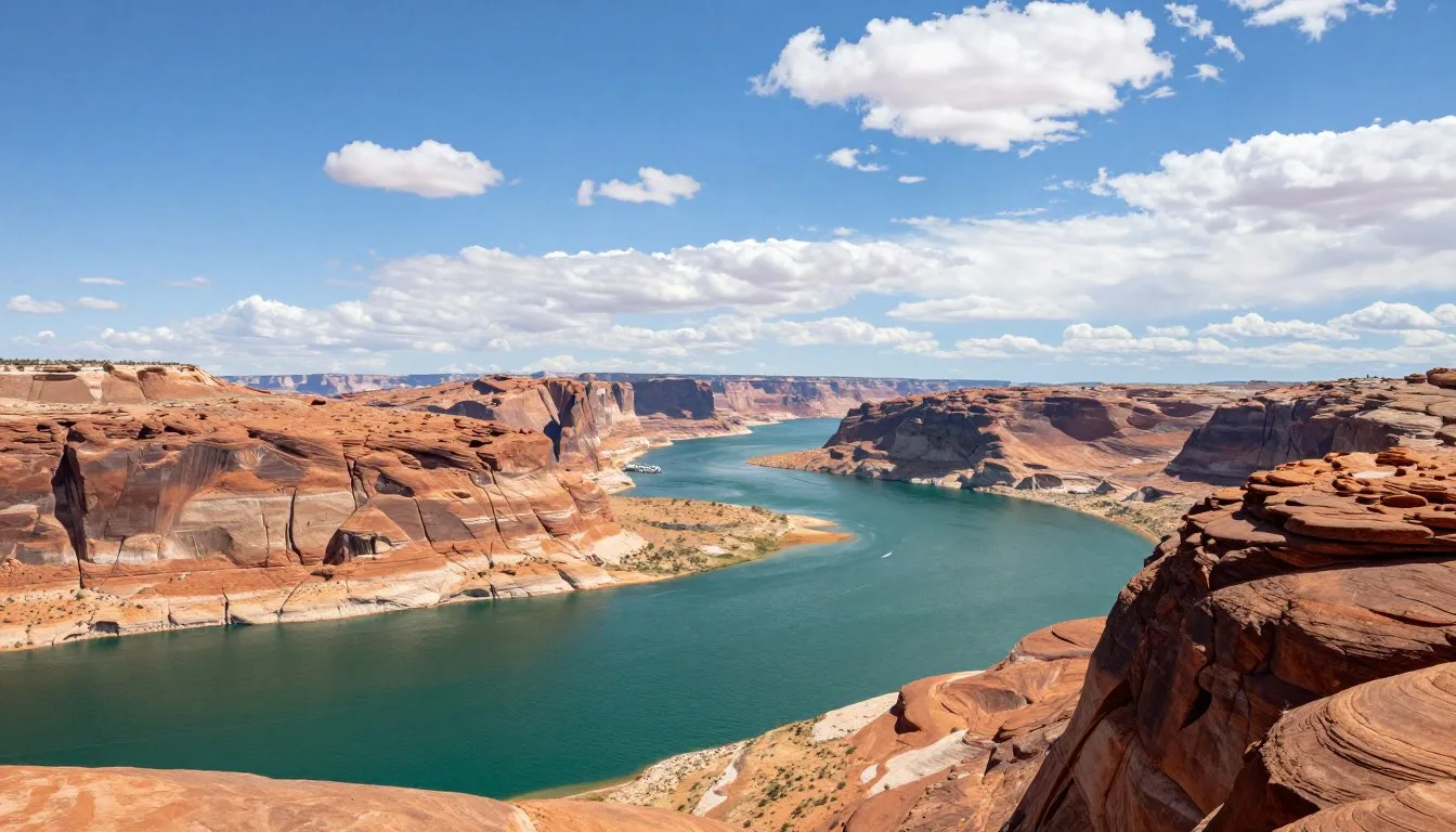
Flaming Gorge National Recreation Area
This reservoir on the Green River offers water recreation just north of Kings Peak. The lake extends 146 km (91 miles) through spectacular red rock canyons.
Activities include boating, fishing, camping, and scenic drives. The Flaming Gorge Dam provides tours explaining the structure’s construction and hydroelectric operations.
Several marinas rent boats and provide camping facilities. The area experiences warm summer weather perfect for water sports, creating nice contrast to mountain hiking.
Mirror Lake Highway
This scenic byway crosses the western Uinta Mountains, providing access to dozens of alpine lakes and trails. The paved highway climbs to 3,048 m (10,000 feet), making it one of Utah’s highest roads.
Numerous campgrounds, trailheads, and picnic areas line the route. Day hikes reach pristine lakes and viewpoints without requiring backpacking commitment.
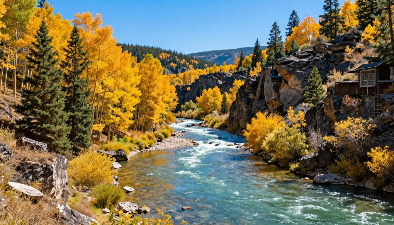
The highway typically opens in late May or early June and closes with first heavy snows in October. Fall colors peak in late September when aspens turn brilliant gold.

Ashley National Forest
The vast forest surrounding Kings Peak contains hundreds of kilometers of trails and countless recreation opportunities. The forest encompasses over 546,000 hectares (1.35 million acres) across northeastern Utah.
Popular activities include hiking, fishing, camping, and wildlife viewing. The forest supports healthy populations of elk, deer, moose, and black bears.
Several wilderness areas beyond the High Uintas Wilderness protect additional pristine landscapes. These areas offer solitude and primitive recreation for those seeking to escape crowds.
Vernal and Surrounding Attractions
Beyond the previously mentioned museums, Vernal serves as a hub for exploring northeastern Utah. The town provides full services and makes a convenient base for regional exploration.
Red Fleet State Park just outside town features a reservoir surrounded by red Navajo sandstone. Dinosaur tracks visible along the shore attract geology enthusiasts.
The town hosts several annual events including rodeos, art shows, and outdoor festivals. Local outfitters can arrange guided trips for fishing, hunting, and river running.
Practical Travel Tips

Essential Gear
Quality footwear makes or breaks a Kings Peak trip. Sturdy hiking boots with good ankle support handle the rocky terrain and long distances. Break in new boots before the trip to avoid blisters.
A backpack sized 50-65 liters handles multi-day trips comfortably. Ensure proper fit and adjustment before loading it for the hike. Weight distribution dramatically affects comfort over long distances.
Sleeping systems rated for temperatures below freezing work best. Even summer nights at Dollar Lake can drop to 0°C (32°F) or below. A quality sleeping bag and insulated pad ensure restful nights.
Water treatment remains essential. Filters, chemical treatment, or UV purifiers all work effectively. Carry backup treatment options in case primary systems fail.
Physical Preparation
Training specifically for Kings Peak improves success rates and enjoyment. The combination of distance and elevation gain challenges even fit hikers without preparation.
Build endurance through progressively longer hikes with loaded packs. Include elevation gain in training hikes when possible. Aim for several 16-19 km (10-12 mile) hikes with 914 m (3,000 feet) of gain before attempting Kings Peak.
Cardiovascular fitness helps with altitude adjustment. Running, cycling, or stair climbing supplement hiking training effectively.
Navigation Skills
While the main route to Kings Peak follows well-defined trail for most of the way, navigation skills remain important. The area above Dollar Lake requires route-finding across talus and scree.
Carry topographic maps and know how to read them. The USGS Kings Peak quadrangle covers the summit area. Consider waterproof map cases to protect paper maps from weather.
GPS devices or smartphone apps provide helpful backup navigation. Download offline maps before the trip since no cell coverage exists in the wilderness.
Compass skills remain relevant even with electronic navigation. Batteries die, devices break, but a compass always works.
| Item Category | Essential Items | Weight Consideration | Notes |
| Shelter | Tent, ground sheet, stakes | 1.4-2.3 kg (3-5 lbs) | Freestanding designs work best on rocky ground |
| Sleep System | Sleeping bag, pad, pillow | 1.4-2.3 kg (3-5 lbs) | Rate sleeping bag to -7°C (20°F) minimum |
| Clothing | Layers, rain gear, warm hat, gloves | 2.3-3.2 kg (5-7 lbs) | Pack insulating layer even for summer trips |
| Kitchen | Stove, fuel, pot, utensils | 0.7-1.4 kg (1.5-3 lbs) | Canister stoves work well at altitude |
| Water | Bottles, filter, treatment backup | 0.5-0.9 kg (1-2 lbs) empty | Carry 2-3 liters capacity total |
| Navigation | Map, compass, GPS device | 0.2-0.5 kg (0.5-1 lb) | Download offline maps for GPS |
| Safety | First aid, headlamp, fire starter | 0.5-0.9 kg (1-2 lbs) | Include emergency shelter and signaling device |
| Food | Meals, snacks, electrolytes | 0.9-1.4 kg (2-3 lbs) per day | Pack extra day of food for emergencies |
Communication and Emergency
No cell phone coverage exists at Kings Peak or anywhere in the surrounding wilderness. Don’t rely on phones for emergencies.
Satellite messengers or Personal Locator Beacons provide emergency communication capability. These devices work anywhere and can summon rescue when needed.
Even with emergency communication devices, expect long rescue response times. The remote location and difficult access mean help takes many hours to arrive. Self-rescue capability remains essential.
Trip Planning Timeline
Begin planning 2-3 months before your trip. This allows time for physical training, gear acquisition, and logistical arrangements.
Check weather forecasts starting one week before departure. While mountain forecasts change frequently, trends become clearer within a few days of your trip.
Verify road and trail conditions 2-3 days before leaving. Late snow years can delay trail opening, while forest fires occasionally close areas during dry summers.
Final Checklist: Vehicle fueled and checked, all gear packed and tested, trip plan filed with emergency contact, maps and navigation tools ready, weather forecast reviewed, physical conditioning completed. With proper preparation, Kings Peak provides an unforgettable high-mountain experience.
Kings Peak Location
Kings Peak location in the Uinta Mountains, Utah – elevation 4,123 m (13,528 feet)
Your Adventure Awaits on Utah’s Rooftop
Kings Peak stands ready to test your determination and reward your effort. The journey to Utah’s highest point demands preparation, respect for the mountain environment, and commitment to the challenge ahead.
Whether you summit the peak or explore the surrounding wilderness, the High Uintas offer experiences found nowhere else. The combination of accessibility and wildness creates opportunities for adventures ranging from family backpacking trips to serious mountaineering objectives.
The mountain will always be there, patient and unchanging. Your preparation and planning determine whether the experience becomes a cherished memory or a difficult struggle. Invest the time to train properly, gather the right equipment, and understand the environment you’ll enter.
Each step up the trail brings you closer to standing on top of Utah. The views from the summit stretch across hundreds of square miles of wilderness. On clear days, you can see into Wyoming, Colorado, and across most of Utah’s mountain ranges.
Start planning your Kings Peak adventure today. The summit awaits those willing to put in the effort to reach it.